Easton, Washington
Looking for the best running in Easton? We've got you covered with the top trails, trips, hiking, backpacking, camping and more around Easton. The detailed guides, photos, and reviews are all submitted by the Outbound community.
Top Running Spots in and near Easton
-
Issaquah, Washington
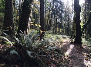
Grand Ridge Trail
4.07.51 mi / 1125 ft gainThe trail system in the 1,300 acre Grand Ridge Park can currently can be accessed from two lots: High Point and Central Park, with a new lot at Duthie Hill still under construction. To get to the High Point lot take exit 20 off of I-90 (coming from Seattle), take a left and pass under the freewa...Read more -
Packwood, Washington
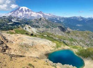
Hike Tatoosh Ridge from Tatoosh Trail #161
12 mi / 4100 ft gainAt the trailhead kiosk be sure to get one of the provided (and required) self-serve Wilderness Permit. Starting at the trailhead begin your initial accent following the marked trail on the side of the road. In the first two 2.5 miles you will climb 2,745 feet, it's hard but luckily a majority of ...Read more -
Issaquah, Washington
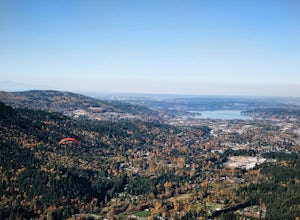
Poo Poo Point
4.46.57 mi / 1880 ft gainThe Poo Poo Point trail is a great option for beautiful forest and great views only about 20 minutes outside of Seattle. The longer and less steep of the two routes to Poo Poo Point, this trail leaves from the Issaquah High School (the shorter and steeper Chirico Trail leaves from the paragliding...Read more -
Ashford, Washington
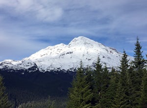
Hike the Rampart Ridge Trail to Wonderland Trail Loop
6 mi / 1870 ft gainThis is a wonderful loop to do that avoids some of the crowds on the flatter trails and gives you an amazing view of the mountain. Park in the Longmire parking lot where the National Park Inn and Longmire Museum are. Walk across Paradise Rd E to join up with the Trail of the Shadows. Head north o...Read more -
Gold Bar, Washington
Winter Backpack to Blanca Lake
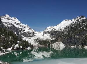
7.5 mi / 3300 ft gainSince Blanca Lake is a very popular place for folks to explore and with the nice and sunny weekend. I drove out Friday night and slept in my Jeep. Got up at 7:30am when folks first started arriving to the trail head.A couple of things to keep in mind before you start this hike. The 7.5 miles ro...Read more -
Renton, Washington
Far County Falls via Licorice Fern Trail
4.24.25 mi / 801 ft gainFrom Seattle, take the I-90 E to exit 15. Make a right on 17th Ave. This street will later become Renton/Issaquah Rd. Drive about four miles then turn right on to May Valley Rd. Make a sharp right onto SE 112th St. This street will soon turn into 169th Ave SE as it turns left. The trailhead is ri...Read more -
Bellevue, Washington
Anti-Aircraft Peak Loop
4.53.53 mi / 436 ft gainHead up the road about .75 miles and take a left onto the Klondike Swamp Trail (well-singed). Stay on Klondike for a mile before taking a left onto Lost Beagle Trail. From here the trail climbs uphill and wraps around the edge of the park, offering views of the surrounding area. Hop on Shangri-La...Read more -
Bellevue, Washington
Coal Creek Trail
4.05.55 mi / 545 ft gainThis trail takes you through Coal Creek park and follows the creek along the trail with minimal elevation gain. This trail can also be accessed from the northern end of the park if that's a more convenient drive. For the lower parking lot, park at the Red Town lot (exit 13 off I-90) and cross the...Read more

