Des Moines, Washington
Looking for the best photography in Des Moines? We've got you covered with the top trails, trips, hiking, backpacking, camping and more around Des Moines. The detailed guides, photos, and reviews are all submitted by the Outbound community.
Top Photography Spots in and near Des Moines
-
Carbonado, Washington
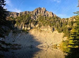
Summit Lake
4.56.13 mi / 1499 ft gainSummit Lake, nestled in a small basin just north of Mt. Rainier National Park in the Clearwater Wilderness, has everything a hiker could want in a day-hike or easy overnight backpack. The views, the well-maintained trail, and a perfect distance make this hike a must-do for anybody in the Pacific ...Read more -
North Bend, Washington
Summit Mt. Defiance
5.011 mi / 3300 ft gainThis hike offers some of the best views one can see in the area. On a clear day, you'll get amazing views of Mt. Rainier. The best part is that as you start heading uphill in the first half mile, you'll get great views of McClellan Butte. Once you reach the summit of Defiance at 5584 feet, you'll...Read more -
North Bend, Washington
Bandera Mountain
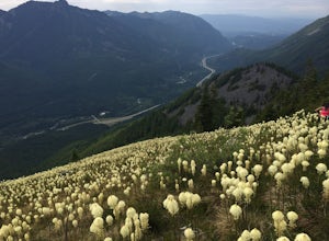
4.47.8 mi / 3176 ft gainThis hike has unreal views of Mount Rainier. On a great clear spring day, the mountain is out. It's right in your face. It's incredible. If you tackle this hike in the spring the bear grass and wildflowers are alive and blooming towards the top and it makes for some fantastic picture-taking. Once...Read more -
North Bend, Washington
Hike Pratt Balcony
2.2 miThis one can be a bit tricky to find. The trailhead is unmarked and is a bit hidden around a curve of Middle Fork Road so it is easy to miss. At about 9.80 miles from the junction of 468th St. and Middle Fork Road, look for two signs on the right warning of upcoming gravel patches (probably will ...Read more -
Brinnon, Washington
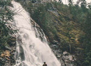
Rocky Brook Falls
4.80.25 mi / 141 ft gainTo find the falls, head north up Hwy. 101 past Brinnon, Washington and hang a left at Dosewallips Rd. Keep an eye on the mile markers. Right after mile three and crossing a small bridge, there's a parking area on the left side enough for about 6 cars. The hike to Rocky Brook Falls is a short on...Read more -
Brinnon, Washington
Hike to Mt. Walker North & South Viewpoints
3.04 mi / 2000 ft gainDirections: From the Quilcene Ranger Station drive 4.6 miles south on US 101. Watch for the signs for Mount Walker View Point. Turn left onto Mount Walker Road. The trail head is about a quarter mile up the road with pull over parking on the left side of the road. In the winter and early spring, ...Read more -
North Bend, Washington
Middle Fork Snoqualmie River Trail
27.57 mi / 3609 ft gainThis beautiful tucked-away trail offers runners, hikers, and backpackers a new view of their favorite neighboring peaks - like Mailbox Peak and Mt. Si - from one of the most scenic river trails in the Seattle area. Often overlooked in favor of more rigorous hikes, the Middle Fork is a gently gra...Read more -
Eatonville, Washington
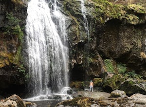
Hike to Little Mashel Falls
4.75.3 mi / 646 ft gainIf you have been trying to get behind a waterfall Eatonville Falls is the place to hike and get a great feeling out of it. Hiking to the waterfall would lead you to a railroad and pass it would lead to a river where you would follow it down to get to the waterfall. The hike itself is pretty sim...Read more -
North Bend, Washington
Rainy Lake Trail
4.09 mi / 3205 ft gainThis is an abandoned trail that heads south along Rainy Creek, off of the downstream section of the Middle Fork Snoqualmie Trail, and up to Rainy Lake. The lake is popular among fisherman, since it is home to lots of trout, but be warned -- route-finding skills are a must on this trip. I do my be...Read more -
Ashford, Washington
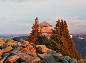
Tolmie Peak's Fire Lookout
4.45.73 mi / 1250 ft gainMount Rainier is spectacular to look at, but sometimes the best views aren't from on its slopes, but just a little ways away. Tucked in the seldom-visited northwest corner of Mount Rainier National Park, the Tolmie Peak fire lookout frames the mountain's rugged slopes with a pristine alpine lake ...Read more -
Ashford, Washington
Mowich Lake
5.01.56 mi / 92 ft gainNo need to for an entire day hike to enjoy wonderful reflections, crystal clear water, and beautiful scenery a few hundred feet from the parking lot! Park at the Mowich Lake Campground parking lot and follow signs for the Wonderland trail. You will begin your hike on the south side of the lake ...Read more -
Ashford, Washington
Hike to Spray Park
5.07 miThe trailhead to Spray Park begins at the Mowich Lake Campground (4,929 ft). You'll begin descending quickly for the first 0.1 miles until you reach the Wonderland Trail junction. Head left and make your way up a steady climb for the next 1.7 miles. The first stop you'll come across is Eagle Clif...Read more -
Ashford, Washington
Hike to Eunice Lake in Mt. Rainier NP
6.5 miStarting out from the beautiful Mowich Lake (4,929 ft), this hike takes you through some of Mt. Rainier Nation Park's best scenery. Thanks to the 13 miles of dirt roads it takes to even get to the trailhead, this hike is also rarely crowded. At 6.5 miles roundtrip to Eunice Lake, this is a grea...Read more -
North Bend, Washington
Granite Mountain
4.27.92 mi / 3999 ft gainThe trek up Granite Mountain is a strenuous and fairly steep hike located east of Seattle and west of Snoqualmie pass off of I-90. Take exit 47 and turn North to a T intersection, park at the Pratt lake Trailhead at approximately 1860' and right beside I-90. The trail splits just after the first...Read more -
North Bend, Washington
Overnight Hike to Pratt Lake
4.511 mi / 2300 ft gainThis overnight hike is definitely a challenge with 2,300 feet of elevation gain but all that huffing and puffing will be worth it when you reach the beautiful Pratt Lake Basin.The trail can be a bit busy in the first mile but most of the traffic is from day hikers on their way up the popular Gran...Read more -
North Bend, Washington
Annette Lake
4.57.2 mi / 1923 ft gainFrom Seattle drive east on I-90 to exit 47 (Asahel Curtis/Denny Creek). Turn right from the off-ramp and continue 0.25 mile, then turn left on Forest Road 5590. You'll find the parking area in 0.3 mile. Between the thick second-growth forest stands and the high alpine lake, the trail rolls along...Read more

