Cle Elum, Washington
Looking for the best photography in Cle Elum? We've got you covered with the top trails, trips, hiking, backpacking, camping and more around Cle Elum. The detailed guides, photos, and reviews are all submitted by the Outbound community.
Top Photography Spots in and near Cle Elum
-
Snoqualmie, Washington
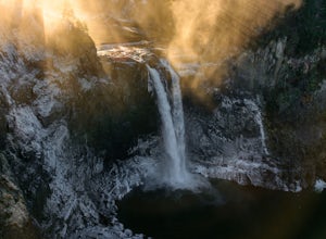
Snoqualmie Falls
4.21.4 mi / 509 ft gainSnoqualmie Falls is one of the most popular waterfalls in Washington. The waterfall is almost 270 feet tall and ranges in width all the way up to 150 feet when the water is really running. On sunny, warm days, it can be a little overrun with tourists. Figure out where you want to get your photo ...Read more -
Quincy, Washington
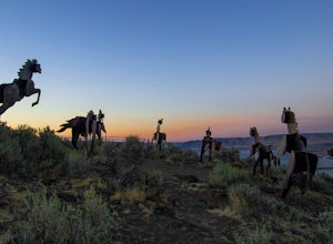
Catch the Sunset at Wild Horse Monument
4.00.4 mi / 150 ft gainIf you're traveling along Hwy 90 in the middle of Washington State, the Wild Horse Monument is a fun and rather quick area to explore. Located 30 miles east of Ellensburg and 60 miles northwest of Yakima, the monument is located just across the Columbia River as you head east. As you drive, there...Read more -
Ashford, Washington
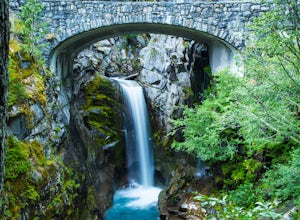
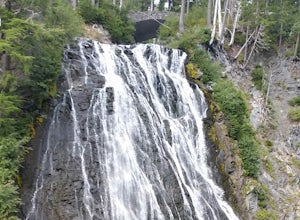
Explore Rainier's Christine and Narada Falls
3.7Driving along Paradise Road on the south side of Mount Rainier, provides a couple of opportunities to view gorgeous waterfalls with a short hike. From the West, the first stop is Christine Falls. There is parking on either side side of the bridge, but the east side is closest to the trail. Desce...Read more -
Ashford, Washington
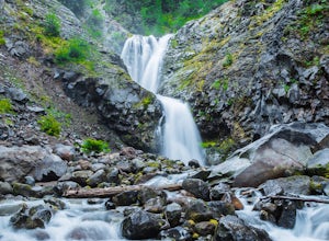
Hike to Comet Falls
5.0Located on Paradise Road along the south side of Mount Rainier, the Comet Falls Trail follows Van Trump Creek up to the magnificent Comet Falls. The hike is 3.8 miles round trip with 1250' of elevation gain.The trail starts off at 3650' and soon crosses over a bridge above Christine Falls. It qui...Read more -
Packwood, Washington
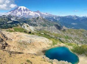
Hike Tatoosh Ridge from Tatoosh Trail #161
12 mi / 4100 ft gainAt the trailhead kiosk be sure to get one of the provided (and required) self-serve Wilderness Permit. Starting at the trailhead begin your initial accent following the marked trail on the side of the road. In the first two 2.5 miles you will climb 2,745 feet, it's hard but luckily a majority of ...Read more -
Packwood, Washington
Carter & Narada Falls
3.05.81 mi / 1434 ft gainThis hike starts off with a bang! The first thing you do is walk out into a rocky riverbed and get an amazing view of Mt. Rainier. From there, you'll cross a long log bridge to get over the river and head into the woods. After 1.1 miles, you'll come across Carter Falls, and about 100 feet down t...Read more

