Carnation, Washington
Looking for the best running in Carnation? We've got you covered with the top trails, trips, hiking, backpacking, camping and more around Carnation. The detailed guides, photos, and reviews are all submitted by the Outbound community.
Top Running Spots in and near Carnation
-
Enumclaw, Washington
Backpack Noble Knob via Greenwater Trail
16.9 mi / 3920 ft gainFrom Greenwater heading south: Pass the fire station to FR 70 on the left. Follow FR 70 for about nine miles to FR 7033. Take a right and follow the road to the trailhead. Northwest Forest Pass required. The trail is in good shape and mostly flat to Greenwater Lakes which is great for families a...Read more -
Enumclaw, Washington
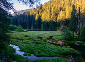
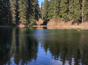
Hike to Greenwater Lakes
4.5 mi / 900 ft gainFollowing along the Greenwater River, family friendly Greenwater lakes Trail #1176 which has minimal elevation gain, winds through a lush green mossy old growth forest. Along the trail you will cross over several log bridges and pass a couple of beautiful waterfalls. At just under two miles int...Read more -
Carbonado, Washington
Hike Bearhead Mountain
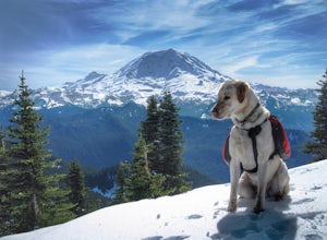
5.06 mi / 1800 ft gainFormerly the site of an old fire lookout, Bearhead Mountain located in the Clearwater Wilderness, provides great unobstructed views of the north side of Mount Rainier, Little Tahoma, and many other surrounding Cascade mountain peaks. In the summer months you are likely to encounter great wildflow...Read more -
Bremerton, Washington
Hike the Gold Creek Trail at Green Mountain
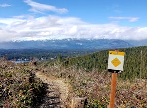
4.05 mi / 1000 ft gainThe Gold Creek Trail is one of several trails in the Green Mountain region. Although the trail is intertwined with others, it is almost impossible to start down the wrong path. The trail is well-marked and well-maintained, making this an excellent option for the family. The trail begins at the e...Read more -
Carbonado, Washington
Hike the Upper Foothills Trail along the Carbon River
10 mi / 30 ft gainThe upper Foothills Trail from the Fairfax Bridge to Manley Moore can be hiked starting from either end as an "out and back" hike or a "point to point" by shuttling with two vehicles. Starting from the upper end of the trail you begin by walking under the Kolisch Rd. Bridge, which has the Manley...Read more -
Ashford, Washington
Hike to Rainier NP's Ranger Falls
4.57 miWhen heading to the adventure, stopped at the ranger station in Carbon to get your day pass ($5.00) and then continue on to the trailhead. Park on the road next to the Carbon river around. Start the hike down an old paved road that eventually leads through some trails and then to a gravel road. T...Read more -
Brinnon, Washington
Hike to Mt. Walker North & South Viewpoints
3.04 mi / 2000 ft gainDirections: From the Quilcene Ranger Station drive 4.6 miles south on US 101. Watch for the signs for Mount Walker View Point. Turn left onto Mount Walker Road. The trail head is about a quarter mile up the road with pull over parking on the left side of the road. In the winter and early spring, ...Read more -
Leavenworth, Washington
Mountain Run to Lake Ann and Ingalls
9 mi / 2500 ft gainBoth trails start at the Esmeralda Trailhead, Trail Number 1394. Lake Ann has a handful of folks that you will run into, whereas Lake Ingalls is a well-traveled trail. Both offer camping spots along the trail, and Lake Ann has spots where you can camp by the lake. NO CAMPING ALLOWED at Lake Ingal...Read more

