Baring, Washington
Looking for the best photography in Baring? We've got you covered with the top trails, trips, hiking, backpacking, camping and more around Baring. The detailed guides, photos, and reviews are all submitted by the Outbound community.
Top Photography Spots in and near Baring
-
Granite Falls, Washington
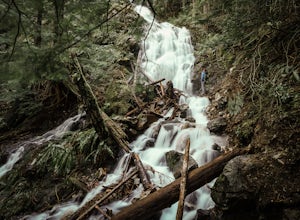
Hike to Perry Creek Falls & Mount Forgotten Meadows
11.5 mi / 3700 ft gainMost visitors park at this trailhead to hike Dickerman Mountain. Until this spring, so did I. However, don't overlook this stunning valley hike to Perry Creek, Mount Forgotten Meadows, and the scramble up Mount Forgotten!Begin this hike on the Perry Creek trail, which begins on the far left sid...Read more -
Darrington, Washington
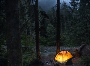
Camp at Goat Lake
4.310.4 mi / 1400 ft gainIf you just loved your day hike to Goat Lake so much that you want to return and spend some more time, you're in luck - the lake offers a camping area that holds at least 15 campsites and even comes with a pit latrine. This is a great overnight option if you aren't looking for a difficult hike in...Read more -
Darrington, Washington
Winter Hike to Goat Lake
4.010.4 mi / 1400 ft gainThis trail is a perfect winter hike for the average outdoorsmen. Be warned that the most difficult part of this hike is getting to the trailhead in winter. The Mountain-loop highway can be a dangerous drive with black ice, snow, and serious potholes along the way. Take proper precautions like cha...Read more -
Darrington, Washington
Hike to Goat Lake
4.510.4 mi / 1400 ft gainThe trail starts by lazily winding through beautiful forest. Fairly quickly, you'll reach a fork for the Upper and Lower Elliot Creek Trails. Both will take you to Goat Lake in about the same distance (~3 miles), but each offers a different take on the area. The lower trail winds along as it foll...Read more -
Granite Falls, Washington
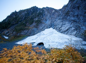
Big Four Ice Caves
4.32.38 mi / 289 ft gainDisclaimer: Hiking into the caves is extremely dangerous as there is potential for the ice to fall. We do not recommend hiking inside of them and if you choose to do so, you're doing it at your own risk. This is a short hike at just 2.3 miles roundtrip with little elevation change. The hike take...Read more -
Granite Falls, Washington
Snowshoe to Coal Lake
13 mi / 1600 ft gainhttps://www.theoutbound.com/wa...Starting out at the Deer Creek gate of Mountain Loop Highway the road is flat and uneventful for the first 2 miles or so, though it does offer some great views of the Big Four as well as a few other peaks and the babbling south fork of the Stillaguamish river. The...Read more -
Leavenworth, Washington
Hike to the Summit of Mt. McCausland
8 mi / 1800 ft gainBegin by driving a fairly smooth Forest Road 6700 for 2.5 miles to the Smith Brook Trailhead and park in the space on the left. Much of the signage has been taken down along the trail, so it may be helpful to bring some written directions with you. The hike begins by keeping close to the road, me...Read more -
Leavenworth, Washington
Hike to Minotaur Lake
5.0This short, steep hike offers rewarding views that is well worth the vertical challenge. Round trip this hike is only 3.5 miles but you will gain 1400 feet elevation in the first mile.The trail starts off with switchbacks that head straight up the hill then about 200 feet from the wilderness boun...Read more -
Granite Falls, Washington
Dispersed Camp near Beaver Creek Group Camp, Mt. Baker Snoqualmie NF
This campsite is located along the Mountain Loop Highway. There are various options for dispersed camping around the area, as well as some you can reserve ahead of time such as the Coal Creek Campground and the Beaver Creek Group Campground. This campsite is located just before Beaver Creek grou...Read more -
King County, Washington
Teneriffe Falls (Kamikaze Falls)
4.55.64 mi / 1732 ft gainThe lesser known Mt Si Rd trail starts off as a relatively flat road. This continues for two miles until you reach the Teneriffe Falls sign. Upon turning right at this junction, the terrain takes a shift and the incline steepens. This is where most of the elevation is gained. The rest of the way...Read more -
North Bend, Washington
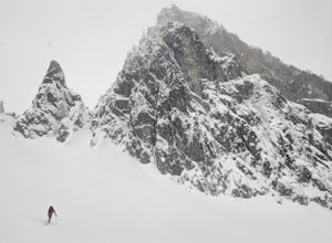
Ski or Snowshoe to Pineapple Pass
3.04.5 mi / 2000 ft gainSkiers or snowshoers looking to explore this route should park in the uppermost parking area at the Alpental ski area. This lot is past the main parking lot for the ski area. After getting your gear on, you can proceed down the groomed access run heading northwest out of the parking area. This ru...Read more -
Snoqualmie, Washington
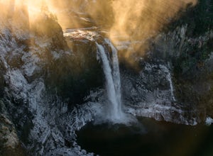
Snoqualmie Falls
4.21.4 mi / 509 ft gainSnoqualmie Falls is one of the most popular waterfalls in Washington. The waterfall is almost 270 feet tall and ranges in width all the way up to 150 feet when the water is really running. On sunny, warm days, it can be a little overrun with tourists. Figure out where you want to get your photo ...Read more -
North Bend, Washington
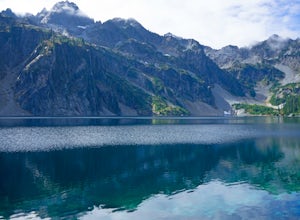
Snow Lake
4.06.24 mi / 1699 ft gainThis hike gets crowded fairly quickly so get there early. The parking lot is very large so parking is not really a problem. There are bathrooms at the very beginning of the trail so I highly suggest using them. However at the top there is also a designated restroom area. Starting at 2600 ft, thi...Read more -
North Bend, Washington
Gem Lake, WA
4.710.4 mi / 2923 ft gainThis hike shares the trailhead for Snow lake at the Alpental Ski area in Snoqualmie Pass. You'll start out with a great warm up, walking through dense green underbrush and a brief wooded area. Before too long the trail increases in inclination slightly and begins to offer up some small rocky sect...Read more -
North Bend, Washington
Snoqualmie Mountain
4.32.87 mi / 3054 ft gainFor this hike, you park at the same parking lot as the Snow Lake hike. The trailhead to Snoqualmie Mountain is an unmarked trail just 30 feet or so before the Snow Lake trail. This is a tough hike even though its only a ~4 mile out and back trip because you gain 3100 feet to reach the summit. Th...Read more -
North Bend, Washington
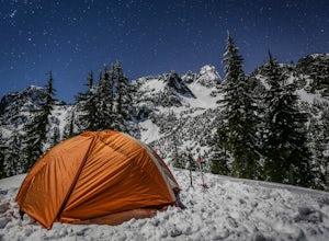
Winter Backpack Below Chair Peak
6 mi / 1500 ft gainHike or snowshoe to the ridge below Chair Peak and above Snow Lake and camp among numerous Snoqualmie Pass peaks.Drive to Snoqualmie Pass WA via I-90 and park at the Alpental parking lot (exit 52). Take the Snow Lake trail, which initially climbs 200 feet with wooden steps and eventually evens ou...Read more

