Arlington, Washington
Looking for the best hiking in Arlington? We've got you covered with the top trails, trips, hiking, backpacking, camping and more around Arlington. The detailed guides, photos, and reviews are all submitted by the Outbound community.
Top Hiking Spots in and near Arlington
-
Concrete, Washington
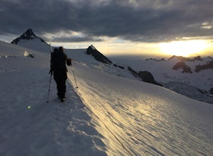
Mt. Shuksan via The Sulphide Glacier Route
13.62 mi / 6230 ft gainNOTE: This is a very challenging mountaineering adventure. Please do not attempt without the proper skill, knowledge, and equipment. The Sulphide Glacier is the easiest and most popular route to the summit of Mt. Shuksan, and is a great beginner’s glacier + rock climb. More experienced climbers...Read more -
Bellevue, Washington
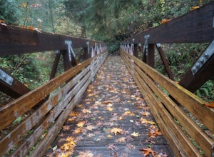
Coal Creek Trail
4.05.55 mi / 545 ft gainThis trail takes you through Coal Creek park and follows the creek along the trail with minimal elevation gain. This trail can also be accessed from the northern end of the park if that's a more convenient drive. For the lower parking lot, park at the Red Town lot (exit 13 off I-90) and cross the...Read more -
Bellevue, Washington
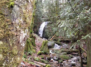
Coal Creek Falls via Red Town Trailhead
3.02.29 mi / 518 ft gainThe popular trailhead is located in the Cougar Mountain Regional Wildlife Park. There is a veritable maze of trails and trailheads here so it is helpful to bring along a map of the area. A trail map for Cougar Mountain can be found on kingcounty.gov. From the trailhead veer left following the Re...Read more -
Bellevue, Washington
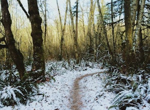
Anti-Aircraft Peak Loop
4.53.53 mi / 436 ft gainHead up the road about .75 miles and take a left onto the Klondike Swamp Trail (well-singed). Stay on Klondike for a mile before taking a left onto Lost Beagle Trail. From here the trail climbs uphill and wraps around the edge of the park, offering views of the surrounding area. Hop on Shangri-La...Read more -
Olga, Washington
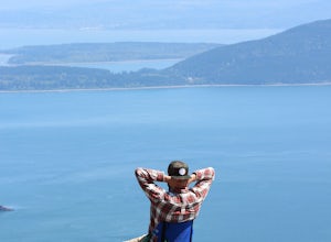
Hike to the Mount Constitution Summit
5.07 mi / 1500 ft gainThis 7 mile round-trip hike takes you to the mountain's summit. From here you'll be able to take in an amazing view. During the hike, you'll head around the left side of Mountain Lake, and then continue on to Twin Lakes, before starting your jaunt to the top of Mt. Constitution. The hike around ...Read more -
Moran State Park, Washington
Camp at Moran State Park
Moran State Park is an true gem within the beautiful San Juan Islands. The park takes up a large portion of the East side of Orcas Island, the largest of all the San Juans. There are multiple campgrounds within the park along the shores of Cascade Lake and Mountain Lake. For the most relaxing exp...Read more -
Issaquah, Washington
West Tiger #3 (Cable Line Trail)
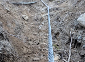
4.76 mi / 2051 ft gainIf you're looking for something with low-grade steepness, you're not going to find it here. Gaining over 2,000' in under 2 miles to the summit, this isn't for the faint of heart. The trail exists because of a buried cable, which has since been exposed and which you can see near the top of the t...Read more -
27662-27664 Olympic Highway, Washington
Hike Falls View Canyon
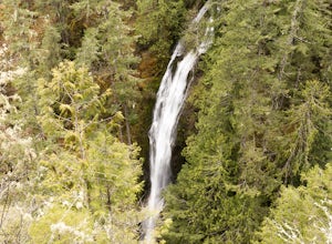
1.5 mi / 300 ft gainThis hike is located immediately off of Highway 101 in the Falls View Campground. If the campground is closed you can park right outside of the gate (but don't block it) and hike in. Inside the gate you will see 3 paths in front of you, take a left and after about a quarter mile you will reach th...Read more -
Brinnon, Washington
Hike to Mt. Walker North & South Viewpoints
3.04 mi / 2000 ft gainDirections: From the Quilcene Ranger Station drive 4.6 miles south on US 101. Watch for the signs for Mount Walker View Point. Turn left onto Mount Walker Road. The trail head is about a quarter mile up the road with pull over parking on the left side of the road. In the winter and early spring, ...Read more -
Marblemount, Washington
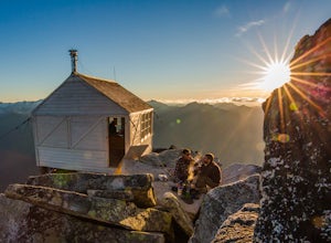
Hidden Lake Lookout
4.97.39 mi / 3415 ft gainBe careful when heading up this 4.5 mile trail since there can be snow coverage into the summer. When you start the trail, you'll get a little tree coverage as you start climbing up. Unfortunately, the shade starts to dissipate after about a mile, where you'll cross over Sibley Creek and enter th...Read more -
Leavenworth, Washington
Evergreen Mountain Lookout
4.52.88 mi / 1522 ft gainThis is a relatively short hike, at only 2.6 miles round trip, that takes you up to the nearly 5600 foot summit. The hike may be short but it is extremely steep, gaining 1300ft in the 1.3 miles to the summit, so be prepared for a good leg workout. On the way to the top you will walk through field...Read more -
Issaquah, Washington
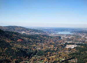
Poo Poo Point
4.46.57 mi / 1880 ft gainThe Poo Poo Point trail is a great option for beautiful forest and great views only about 20 minutes outside of Seattle. The longer and less steep of the two routes to Poo Poo Point, this trail leaves from the Issaquah High School (the shorter and steeper Chirico Trail leaves from the paragliding...Read more -
Snoqualmie, Washington
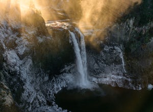
Snoqualmie Falls
4.21.4 mi / 509 ft gainSnoqualmie Falls is one of the most popular waterfalls in Washington. The waterfall is almost 270 feet tall and ranges in width all the way up to 150 feet when the water is really running. On sunny, warm days, it can be a little overrun with tourists. Figure out where you want to get your photo ...Read more -
Deming, Washington
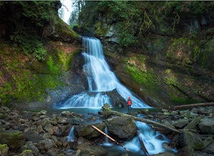
Hike to Racehorse Falls
3.7Racehorse Creek is broken up into four distinct waterfalls that drop a total of 140ft through a relatively shallow gorge. The first two waterfalls are punchbowl-type falls that have deep holes at their bases. Immediately below the second waterfall, the creek descends rapidly before it arrives at...Read more -
Brinnon, Washington
Hike Lower Big Quilcene River
13 mi / 1800 ft gainWhile this hike does not provide any sort of fantastic views, its does provide an easy ~13 mile roundtrip hike from the trailhead to a parking lot for the Upper Big Quilcene Trail which leads to Marmot Pass. Along the way you will cross several bridges, some large and wide, other simple log bridg...Read more -
Renton, Washington
Far County Falls via Licorice Fern Trail
4.24.25 mi / 801 ft gainFrom Seattle, take the I-90 E to exit 15. Make a right on 17th Ave. This street will later become Renton/Issaquah Rd. Drive about four miles then turn right on to May Valley Rd. Make a sharp right onto SE 112th St. This street will soon turn into 169th Ave SE as it turns left. The trailhead is ri...Read more

