Troutdale, Virginia
Looking for the best photography in Troutdale? We've got you covered with the top trails, trips, hiking, backpacking, camping and more around Troutdale. The detailed guides, photos, and reviews are all submitted by the Outbound community.
Top Photography Spots in and near Troutdale
-
Linville, North Carolina
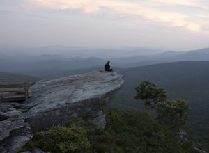
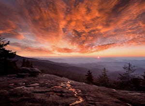
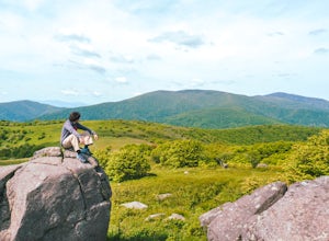
Rough Ridge Lookout
4.30.5 mi / 92 ft gainThe trailhead for Rough Ridge will be on your righthand side when driving the Blue Ridge Parkway from Boone, NC. This trail gets busy in the warmer months, but parking usually is not too much of an issue. This trail is not open in the winter. Rough Ridge will take you around 30-45 minutes to rea...Read more -
Hampton, Tennessee
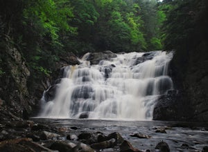
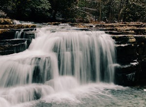
Hike to Laurel Fork Falls
4.62.6 mi / 600 ft gainFrom Hampton, Tennessee, take US-321S for about 3.5 miles. Turn right onto Dennis Cove Road and travel for 4 miles on this steep and very curvy mountain road. The trailhead is where the Appalachian Trail (AT) crosses the road at a small gravel lot on the left. Take the AT north on the trail lea...Read more -
Hampton, Tennessee
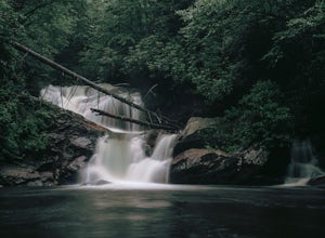
Hike and Traverse the Cables to Dennis Cove Falls
5.03.2 mi / 300 ft gainThe Hike to Dennis Cove Falls includes three water crossings and passes several small waterfalls. Sturdy cables spanning the width of the water crossings provide a fun way of traversing the creek without wading. It is completely possible to wade through the creek while holding onto the cables for...Read more -
Appalachian Trail, Tennessee
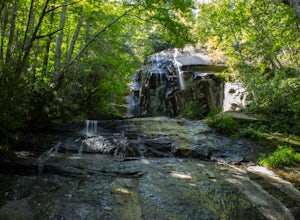
Jones Falls via Appalachian Trail
5.010.65 mi / 2484 ft gainStarting at the Appalachian Trail (AT) trailhead at US 19E, follow the AT north for 3.1 miles until you reach the intersection of the trail with Buck Mountain Rd. This section of the AT has an elevation gain of almost 1000 ft, and large sections of trail with significant meadows offering magnific...Read more -
Newland, North Carolina
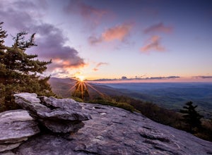
Beacon Heights Overlook
5.00.71 mi / 105 ft gainBeacon Heights is the perfect hike when you're on the Blue Ridge Parkway near Linville and Grandfather Mountain, Milepost 305.2. The trail is a steady climb uphill for less than a half mile. The last section being fairly steep and rocky. Once at the top, there are several rock outcroppings, but...Read more -
Linville, North Carolina
Rough Ridge via the Tanawha Trail from Beacon Heights
5.07.49 mi / 1280 ft gainIf you're feeling frisky, set your alarm for the early am and park at the Beacon Heights Parking area about 30 minutes before dawn. Put on your head lamp and hike the short trip to Beacon Heights, bask in the glory of the warm morning sun, then head back down and connect with the Tanawha Trail. A...Read more -
Linville, North Carolina
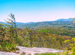
Hike the Flat Rock Trail (NC)
5.00.6 miFlat Rock Trail is located off the Blue Ridge Parkway at milepost 308. There is a pull-off from the Parkway with a sign designating the location. There are several picnic tables around the pull-off, but I would recommend taking your lunch up to Flat Rock. The wide, clear trail is practically flat...Read more -
Newland, North Carolina
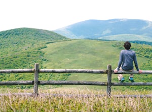
Big Hump Mountain via the Appalachian Trail
4.57.83 mi / 2021 ft gainTowering over Little Hump Mountain, Big Hump Mountain offers one of the clearest views on the Appalachian Trail. Big Hump Mountain is located in the Roan Highlands North of Bradley Gap. This peak is not as traveled as other popular hikes in the area despite its massive size because of the intense...Read more -
Newland, North Carolina
Hike to Bradley Gap along the Appalachian Trail
4.6 mi / 1339 ft gainBradley Gap rests along the Appalachian Trail overlooking North Carolina and Tennessee mountains. Part of the Roan Highlands, Bradley Gap can be accessed via Yellow Mountain Gap Trailhead. Follow the Roaring Fork Trail from the trailhead until you intersect the Appalachian Trail (White Blaze) app...Read more -
Draper, Virginia
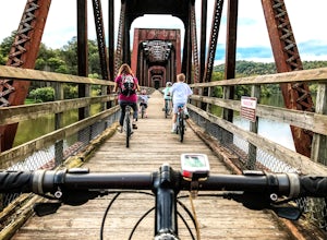
Bike the New River Trail
5.057 miThere are several locations to begin your trek on the New River Trail, but our favorite is the Draper Valley area. The pin on the map will take you right to the parking lot. There is a $5 state park fee and a self-pay envelope station. From here we head south, and after about a mile you catch you...Read more -
Pearisburg, Virginia
Photograph Dismal Falls
4.50.1 mi / 0 ft gainExplorers in Southwest Virginia run into a common problem: local hikes and waterfalls are often saturated with college students out enjoying a warm day. While it's wonderful to have so many people appreciating the beauty of the Jefferson National Forest, it can be difficult to find a remote, quie...Read more

