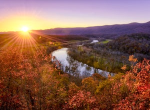
Syria, Virginia
Looking for the best photography in Syria? We've got you covered with the top trails, trips, hiking, backpacking, camping and more around Syria. The detailed guides, photos, and reviews are all submitted by the Outbound community.
Top Photography Spots in and near Syria
-
Luray, Virginia
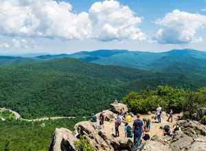
Mary's Rock via Appalachian Trail
3.36 mi / 1214 ft gainIf you're driving south on Skyline Drive, park in the lot on the right side of Skyline Drive immediately after you cross Route 211/Thornton Gap entrance. If you're driving north on Skyline Drive, the lot will be on the left side immediately before the Thornton Gap entrance. The trailhead is at t...Read more -
Stanardsville, Virginia
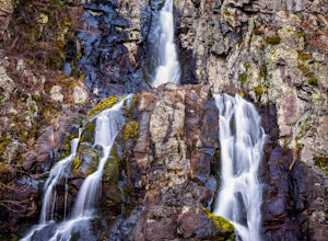
Hike South River Falls
4.54.4 miThe trail head for the South River Falls Trail is located at mile marker 63 off of Skyline Drive via the South River Picnic Area. Loop around the picnic area until you reach the Eastern corner where you will find a sign and a map marking the beginning of the 4.2-mile trail. Over the first mile...Read more -
Luray, Virginia
Explore the Luray Caverns
4.8The caverns are located in the town of Luray, which is in the Shenandoah Valley of northwest Virginia. They can only be explored by tour, and at first I was hesitant to pay the $26 entrance fee, but after an hour-long tour that blew my mind, I had absolutely no regrets. The tour includes about 30...Read more -
Washington, Virginia
Hike Little Devil Stairs
4.75.5 mi / 1480 ft gainThis hike starts with an immediate stream crossing -- how wet your feet get depends on the water level but bring an extra pair of socks! The first mile consists of a typical Shenandoah hike -- uphill on a dirt path and along a stream. But soon you reach the base of Little Devil Stairs. This po...Read more -
Rileyville, Virginia
Backpack Jeremy's Run Trail, Shenandoah NP
3.310 miThis hike is best done as a two-day, one-night backpacking trip, however it can be done as a day hike if you don't wish to backpack.Jeremy’s Run is a beautifully forested 10 mile roundtrip hike with numerous stream-crossing. The trailhead starts at the Elkwallow Picnic area, at about mile 24 of S...Read more -
Rileyville, Virginia
Hike to Overall Run Falls
5.06.1 mi / 1700 ft gainStart at the Hogback parking lot at MP 21.1 on the Skyline Drive. Take the Appalachian Trail south for 0.8 miles, and turn right onto the Tuscarora-Overall Run Trail. After 0.5 miles you will come to another intersection-keep right to stay on the Tuscarora-Overall Run Trail. A final intersection...Read more -
Johnny's Road, Virginia
Camp along the South Fork Shenandoah River
3.0From Luray, follow Bixler's Ferry Road until you cross the river. The road will then T, go to the right along South Page Valley Road. Follow this road for about 6.5 miles until you pass Shenandoah River Outfitters. Shortly after this it will turn into a gravel road. Drive along the gravel road fo...Read more -
Bentonville, Virginia
Photograph Range View Overlook
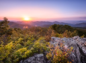
5.0Range View Overlook in Shenandoah National Park is an amazing spot to watch the sunrise and sunset where the Blue Ridge Mountains meet the rolling hills. Range View Overlook has views of Jenkins Mountain to the south, Pignet Mountain and Mary’s Rock to the southwest, and Hogback Mountain to the w...Read more -
Appalachian Trail, Virginia
Hike North Mount Marshall in Shenandoah NP
1 mi / 350 ft gainPark at the Mount Marshall parking area at ~MP 15.6 on the Skyline Drive. From the back of the parking lot, take the white-blazed Appalachian Trail north for a short 0.4 miles to a large rock outcrop with views south. After finished exploring this outcrop, continue on the AT for another 0.1 mil...Read more -
Free Union, Virginia
Photograph Brown Mountain Overlook
At mile post 77 off of Skyline Drive, Brown Mountain Overlook offers photographers a western view of the Blue Ridge Mountains, Shenandoah National Park, and the Shenandoah Valley. At 2,840 feet, Brown Mountain Overlook is one of 72 beautiful overlooks that are on Skyline Drive located in the nort...Read more -
Free Union, Virginia
Hike Frazier Discovery Trail
5.01.3 mi / 950 ft gainThere are two ways to the summit: the first is a 1.3 mile loop that starts at the Loft Mountain Wayside parking lot at mile marker 79.5 off of Skyline Drive in the southern district of Shenandoah National Park. The second way is a 3.7 mile hike out and back from the Loft Mountain Campground, but...Read more -
Quicksburg, Virginia
Explore the Shenandoah Caverns
4.5Located west of Washington D.C. off Interstate 81 (exit 269) Shenandoah Caverns is a nice little place tucked away in the Virginia country side. Upon arrival you will be able to park your vehicle for free in the lot right across the street. The building you want to enter is called "The Yellow Bar...Read more -
South River, Virginia
Hike to Compton Peak
5.0This unique hike on the Appalachian Trail in Shenandoah National Park is 2.4 miles round trip with an 835' elevation gain, and leads you to two viewpoints as well as a cool rock outcrop.Access this hike from the Compton Gap parking area (elevation 2,145') on the Skyline Drive at Mile 10.4. Cross ...Read more -
Crozet, Virginia
Hike to Doyles Falls
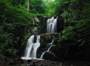
4.93.2 mi / 1190 ft gainFrom the parking lot at MP 81.1 on the Skyline Drive, take the trailhead to the left of the sign with the trail map. Immediately you'll cross over the Appalachian Trail-stay straight on the blue-blazed trail to Doyles Falls. The trail will descend rapidly for 1.3 miles to Upper Doyles Falls (28' ...Read more -
Bentonville, Virginia
Hike the Shenandoah River State Park Loop
5.08 mi / 650 ft gainShenandoah River State Park is located in the heart of the Shenandoah Valley. The park is full of well-maintained trails great for hiking and mountain biking. The trails both parallel the banks of the river as it snakes through the Shenandoah Valley and through the rolling hills, which provides...Read more -
Front Royal, Virginia
Explore Skyline Drive In Winter
4.5Skyline Drive is a winding highway that cuts straight through Shenandoah National Park. Being that we are in the south, you will find that the road is closed for the majority of the winter, and usually at the very mention of snow. The first few years of living here it was incredibly frustrating...Read more

