Hinton, Virginia
Looking for the best hiking in Hinton? We've got you covered with the top trails, trips, hiking, backpacking, camping and more around Hinton. The detailed guides, photos, and reviews are all submitted by the Outbound community.
Top Hiking Spots in and near Hinton
-
Luray, Virginia
Hike Robertson Mountain in Shenandoah NP
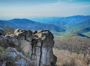
6 mi / 1200 ft gainRobertson Mountain is often overshadowed by the nearby Old Rag Mountain, but standing 5 feet taller than Old Rag, this hike offers seclusion and gorgeous views to the south. Starting from the Limberlost Trailhead parking lot at MP 43 on the Skyline Drive, take the chained off Old Rag Fire Road. ...Read more -
Luray, Virginia
Hike Around Lake Arrowhead Recreation Park
5.01 mi / 10 ft gainA few miles east of the town of Luray and just a couple miles outside of the Thorton Gap entrance to Shenandoah National Park sits Lake Arrowhead Recreation Park. This small lake and park features fishing, swimming, picnic areas, and other recreational park type of activities. Use of the faciliti...Read more -
Luray, Virginia
Stony Man Trail, Shenandoah National Park
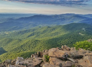
4.51.47 mi / 279 ft gainThis short, easy hike will take you to some of the best views in Shenandoah National Park. As an added bonus, it’s perfect for catching the sunset without a long walk back to your car in the dark. If you’re looking to increase the level of difficulty, there is an alternate, moderate trail option ...Read more -
Luray, Virginia
Little Stony Man, Shenandoah National Park
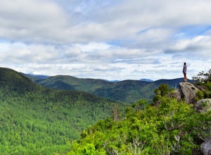
4.71.23 mi / 433 ft gainThe parking lot for the trail is right before mile 40 on Skyline drive in Shenandoah National Park. The entire out and back is only .9 miles, so it's the perfect hike to take in a sunset after a long day, take a break from driving, or just pick a hike that is family and dog friendly as Stoney Ma...Read more -
Madison, Virginia
Hike Bear Church Rock via the Graves Mill Trail
3.58.5 mi / 2250 ft gainStarting at the Graves Mill Parking area, head up the yellow blazed trail that is marked by a big cement marker. The trail will follow closely beside the gorgeous Rapidan River. Hike for half a mile until you come to the intersection of the Staunton River Trail. Turn left (do not cross the river)...Read more -
Madison, Virginia
Fly Fish on the Rapidan River
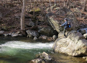
5.05 miPark at the Graves Mill Parking Area. From here you can easily follow the Rapidan River up the mountain. Fishing reports inform that the lowest concentration of brookies are at the lower boundaries of the park so take some time to enjoy the trail and hike up stream. At the lower boundaries you mi...Read more -
Davis, West Virginia
Camp at Red Creek Campground
5.0Beginning your hikes from the Red Creek Campground gives you plenty of good options. For day hikers there is parking at the signed trailheads and for those who want to call the Campground home for a few days the campsites are nice and spaced out so you don't feel like you're sharing your tent spa...Read more -
Syria, Virginia
Fly Fish on the Robinson River
5.06 mi / 2000 ft gainThere are two sections that you can fish on the Robinson River. The first section is about 15 minutes away from the trailhead of White Oak Canyon. The river is on the right side of the road and you can see where it has bee stocked from the white diamonds on the trees on the side of the road. This...Read more -
Syria, Virginia
Hike Cedar Run Falls Trail
4.72.6 mi / 1000 ft gainCedar Run Falls is located in the central district of Shenandoah National Park. This is a pretty waterfall that flows into a deep swimming hole. There are two ways to get to the Cedar Run Waterfall: from the top of the mountain off of Skyline Drive and from the bottom of the mountain off of Wea...Read more -
Syria, Virginia
White Oak Canyon Cedar Run Loop
4.07.67 mi / 2257 ft gainThis route combines Cedar Run Falls and White Oak Canyon Trail (one of the more popular hikes in SNP, with separate adventures detailing those hikes). Parking is easy, but gets very crowded due to the popularity of White Oak Canyon (WOC). When starting from the parking area/Shenandoah ranger stat...Read more -
Luray, Virginia
Hike to The Pinnacle in Shenandoah NP
4.52.2 mi / 400 ft gainThe Pinnacle is a little-known outcrop on the Appalachian Trail in Shenandoah National Park. You will not find it marked on the park map, but that doesn’t make it any less-worthy of your time. The Pinnacle can be reached by a quick, easy hike with the family (and dog!), or you can combine it wit...Read more -
Davis, West Virginia
Dolly Sods Wilderness North Loop via Rocky Ridge Trail
5.012.78 mi / 1378 ft gainThe hike begins at the "Dolly Sods Trailhead Parking" location easily found on Google Maps. The lot is big enough for about 6-8 vehicles. Begin walking at the end of the gravel parking lot/road for about 0.5 miles until you enter the Dolly Sods Wilderness Area in a small grassy field where sever...Read more -
Davis, West Virginia
Snowshoe or Cross-Country Ski Dolly Sods
8 mi / 1400 ft gainFrom January to April, the forest roads that provide vehicle access to the Dolly Sods Wilderness in West Virginia are closed. If you're up for a cold weather adventure, park your car (in accordance with the signage and without blocking the road) and hike up the Forest Road 75 near Davis, WV, to B...Read more -
Davis, West Virginia
Bear Rocks Loop
4.710.54 mi / 1293 ft gainThis particular hike is great as there are multiple camping sites, both established and backcountry, and views for miles around almost every bend. Still not convinced? This high-altitude plateau has characteristics typically found in Canadian landscapes. so you can travel north without leaving y...Read more -
Davis, West Virginia
Bear Rocks and Beaver Dam Loop
6.36 mi / 699 ft gainStarting on Bear Rocks Trail, hike down to the Red Creek. Sometimes water levels can be high, but most of the time you can cross the creek without getting any deeper than your knees. Link up with the Raven Ridge Trail and head south. Enjoy the views through this section, as it's a great place to ...Read more -
Maysville, West Virginia
Dolly Sods North Loop via Bear Rocks
5.011.69 mi / 1171 ft gainArguably one of the most beautiful hiking areas on the United States' east coast, the Dolly Sods Wilderness inarguably has the most unique trailhead warning sign: Watch out for unexploded ordinance in the area. (The U.S. Army used the area for artillery and mortar training during WWII.) Don't fre...Read more

