Front Royal, Virginia
Looking for the best photography in Front Royal? We've got you covered with the top trails, trips, hiking, backpacking, camping and more around Front Royal. The detailed guides, photos, and reviews are all submitted by the Outbound community.
Top Photography Spots in and near Front Royal
-
Leesburg, Virginia
Hike the Red Rock Wilderness Overlook Loop
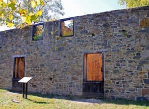
5.01.2 mi / 100 ft gainRed Rock Wilderness Overlook provides 60+ acres of trails to explore right in Leesburg, Virginia. The site is home to some ruins and buildings from the late 1800's and is a wonderful spot for picnics, hiking, trail running, and geocaching.The preferable loop is to take the trail that leads straig...Read more -
Knoxville, Maryland
Hike the AT to Weverton Cliffs
4.93 mi / 1500 ft gainThe trailhead is located right off Weverton Cliff's Road in Knoxville, Maryland. Park at a Park and Ride on the right side of the road, then walk right out of the parking lot down Weverton Cliff's Road until you see the white blazes of the Appalachian Trail. Follow that trail for 1.5 miles along ...Read more -
Stanardsville, Virginia
Hike South River Falls
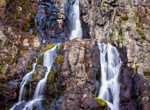
4.54.4 miThe trail head for the South River Falls Trail is located at mile marker 63 off of Skyline Drive via the South River Picnic Area. Loop around the picnic area until you reach the Eastern corner where you will find a sign and a map marking the beginning of the 4.2-mile trail. Over the first mile...Read more -
Knoxville, Maryland
Explore Point of Rocks/ Potomac River Overlook
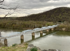
4.00.2 mi / 95 ft gainPark at the Chesapeake and Ohio Canal parking lot. Walk to the US 15 and cross the road. Trail is not marked, though its faint traces can be detected as you continue on. GPS is recommended. Enjoy the overlook and when you're ready to go back, retrace your steps.Read more -
Clifton, Virginia
Hike the Bull Run Occoquan Trail
13 miThe Bull Run Occoquan Trail is located in Fairfax County, Virginia and is 50 miles outside Washington, DC and runs along the Bull Run waterway for 6.5 miles from Bull Run Marina to Fountainhead Regional Park. The blue blazed trail undulates for a total ascent of 1,510 ft and descent of 1,526 ft, ...Read more -
Oldtown, Maryland
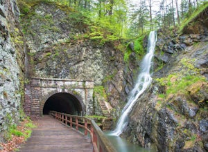
Hike to Paw Paw Tunnel
3.82.4 miThis hike is short and sweet, with it only being 2.4 miles to the other side of the tunnel and back. It's easily accessible, located right off the highway at the Paw Paw Tunnel Campground on the Potamac River at the border of Maryland and West Virgina. The town of Paw Paw is on the West Virgina s...Read more -
Fairfax Station, Virginia
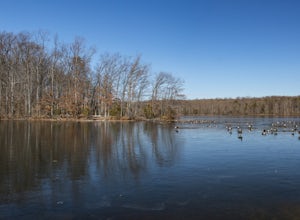
Explore Burke Lake in Fairfax
4.54.7 mi / 0 ft gainBurke Lake Park has something for everyone. Whether you enjoy trail running, hiking, fishing, canoeing, Frisbee golf, or just having a picnic with your family, you can do it all at Burke Lake. Those who want to be active or exercise can run, hike or biket the 4.7 mile trail that circles the entir...Read more -
Free Union, Virginia
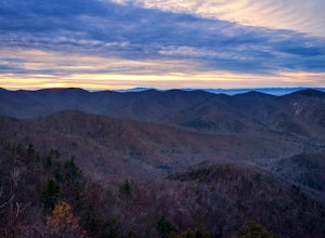
Photograph Brown Mountain Overlook
At mile post 77 off of Skyline Drive, Brown Mountain Overlook offers photographers a western view of the Blue Ridge Mountains, Shenandoah National Park, and the Shenandoah Valley. At 2,840 feet, Brown Mountain Overlook is one of 72 beautiful overlooks that are on Skyline Drive located in the nort...Read more

