Floyd, Virginia
Top Spots in and near Floyd
-
Narrows, Virginia
Hike Sentinel Point and Mill Creek Falls
5.07.8 mi / 1800 ft gainThere are many trails in the area so here is a map to start out because it can get confusing:http://gilescounty.org/images2/Map-Town%20Farm-Hiking%20Trails%20%282010%29.pdf.From the parking area, keep to the left side of the stream and head up the gravel road. You'll soon come to the Mill Creek ...Read more -
Roanoke, Virginia
Canoe or Kayak at Carvins Cove
5.0Part of the attraction to the Cove is that you can literally leave work at 5pm and be in the water paddling in plenty of time to catch the sunset. Catching a sunrise is slightly more difficult just because the boat landing doesn't open until 6:30am. However, it's still possible to paddle out and ...Read more -
Narrows, Virginia
Rice Fields via Appalachian Trail
5.05.24 mi / 1302 ft gainThis hike begins on the Appalachian Trail just north of Pearisburg, Virginia. To get to the trail head, take Route 460 and turn on to Clendennin Road(Route 641). Take Clendennin road 1.5 miles and then turn left on to Pocahontas road. In about 300ft you will pass a cattle grate and an old barbed ...Read more -
Wytheville, Virginia
Hike the High Rock Trail
3.02.7 mi / 636 ft gainThe hike to High Rocks begins at a gravel parking lot up a long winding road, seems like forever but really is only mile or two past the quarry when your turn onto the road. The out-and-back hike begins by passing through the two large boulders near the back of the parking lot. The trail leads d...Read more -
Pinnacle, North Carolina
Rock Climb at Pilot Mountain SP
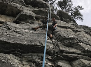
5.0Wide assortment of climbing on some of the best granite in the world. The grades range from 5.5 to 5.13 so anyone could find their level. It is a very top rope friendly climbing area. All thanks to the Carolina Climbers Coalition who regularly check and maintain all of the bolts located on all of...Read more -
Daleville, Virginia
Hay Rock
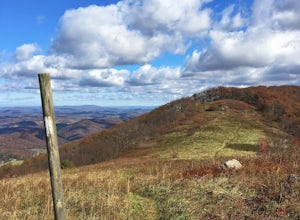
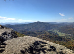
4.67.48 mi / 1276 ft gainIf you're looking for a hike in the Roanoke area without the crowds that McAfee Knob draws, but still want a challenging hike with great views, try hiking to Hay Rock. This 7.5 mile round trip hike begins at the Park and Ride just off I-81 at the US-220 Troutville/Fincastle exit (150B). The gra...Read more -
Pinnacle, North Carolina
Hike the Jomeokee Trail at Pilot Mountain SP
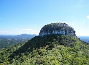
4.30.8 mi / 100 ft gainThis unique peak, also known as the Big Pinnacle, is in Pilot Mountain State Park. From the main parking area on top of the mountain on Pilot Knob Park Road, you can first view the Big Pinnacle from the overlook attached to the parking lot. The prominent mountain behind the Big Pinnacle is Hang...Read more -
Blue Ridge, Virginia
Snowshoe the Blue Ridge Parkway
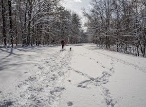
3.3We don't get a ton of snow here in Virginia, but when we do, the Blue Ridge Parkway can be a great place to get out and enjoy a day of snowshoeing or cross country skiing. It's also a great opportunity to get your pup out and let him work out some energy as the chances of running into anyone are ...Read more -
Troutville, Virginia
Tinker Cliffs via Andy Lane Trail
4.87.15 mi / 1844 ft gainLooking for a day trip? Look no further than Tinker Cliffs, tucked away in Virginia. This trail provides a workout that is loaded with flowers, bridges, rocks, and views that will leave you inspired to explore more! The Trail There are no restrooms located at the parking lot or along the trail....Read more -
Waiteville, West Virginia
Hanging Rock Raptor Observatory
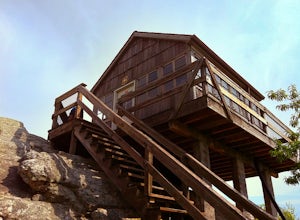
4.81.93 mi / 381 ft gainLocated on Limestone Hill Road north of Waiteville, WV at about 3800 feet above sea level is an old Fire watch tower. The tower, built in 1956 was abandoned in 1972. In 1983 the US Forest Department acquired this area as part of the Jefferson National Forest. Since then the Tower has become know...Read more


