Delaplane, Virginia
Looking for the best hiking in Delaplane? We've got you covered with the top trails, trips, hiking, backpacking, camping and more around Delaplane. The detailed guides, photos, and reviews are all submitted by the Outbound community.
Top Hiking Spots in and near Delaplane
-
Orkney Springs, Virginia
Hike Laurel Run
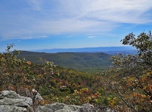
6.6 mi / 2100 ft gainThere are two parking spots for this trail. Park at the lower lot if the gate is closed, if the gate is open, continue up the road for another mile until you reach another closed gate. Park here. If the gate is closed you will need to hike a mile up the road to get to the trail head.From the seco...Read more -
Lorton, Virginia
Woodmarsh Trail
4.02.83 mi / 154 ft gainJust at the entrance to Mason Neck State Park is the Woodmarsh Trail. The entire loop is about 3 miles. This is a pleasant easy hike that is relatively flat with no rocks to speak of. The trail wanders through a forest and passes by a large swamp along the Potomac River. There is one well built o...Read more -
Derwood, Maryland
Hike, Bike, or Run the Lakeside Trail and Muncaster Mill Trail
4.53.41 mi / 196 ft gainPark at the Meadowside Nature Center to Access the trailhead. This is a 3.4 mile loop with opportunities for birding and observing wildlife. Dogs are welcome on leash.Read more -
Arlington, Virginia
Hike Theodore Roosevelt Island
4.32 miIt seems only fitting that the president who gave us our national parks would have one all to his own. Located on the edge of Washington D.C., Theodore Roosevelt Island offers a glimpse of what the city may have looked like before the politicians, before the marble buildings, before the traffic-...Read more -
Myersville, Maryland
Hike to Annapolis Rock and Black Rock Cliff
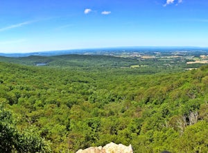
4.48 mi / 840 ft gainHike along the Appalachian Trail as it passes through South Mountain State Park, taking you to a number of very scenic lookout spots.From the parking area, take the connector trail a short distance until you see blue blazes on the left – these will lead you to the Appalachian Trail (white blazes)...Read more -
Washington, District of Columbia
Hike the Soapstone Valley Trail
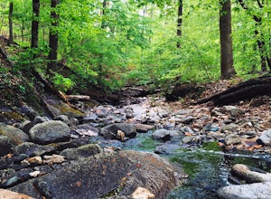
4.02 miThis is an out-and-back trail that starts and ends on different roads, but you will have better luck parking on Albemarle Street NW (where I have indicated the trailhead is on the map). This is a long street with plenty of street parking, just pay attention to the signs to see how long you can le...Read more -
Washington, District of Columbia
Visit the National Mall in Washington D.C.
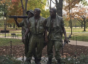
4.67 miEveryone has so many things on their plates these days that take all their time up. It is hard to get away for adventures or to experience new things. The National Mall in Washington D.C. is within an hour from millions of people on the East Coast. This centralized location makes the National Mal...Read more -
Basye, Virginia
Orkney Springs Trail
4.94 mi / 1440 ft gainEasy to get to from Bryce resort, Orkney Springs Trail is a moderate to challenging trail. It starts with an easy trail through the woods but does get very steep in mile 2 in what seems like a very rocky dried-out river bed. There is a spectacular view around mile 2. If that's what you’re after y...Read more -
Stanardsville, Virginia
Hike South River Falls
4.54.4 miThe trail head for the South River Falls Trail is located at mile marker 63 off of Skyline Drive via the South River Picnic Area. Loop around the picnic area until you reach the Eastern corner where you will find a sign and a map marking the beginning of the 4.2-mile trail. Over the first mile...Read more

