Bluemont, Virginia
Looking for the best photography in Bluemont? We've got you covered with the top trails, trips, hiking, backpacking, camping and more around Bluemont. The detailed guides, photos, and reviews are all submitted by the Outbound community.
Top Photography Spots in and near Bluemont
-
McLean, Virginia
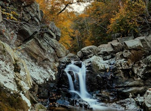
Scott's Run Nature Preserve Loop
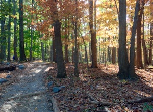
4.22.51 mi / 397 ft gainThis nature preserve can be hiked year-round and is a sanctuary for rare wildflowers, birds, and other wildlife including deer and fox. There are six main interconnecting trails that run through the preserve; winding their way around matured hardwood forest, sheer bluffs, and rocky cliffs overloo...Read more -
Rileyville, Virginia
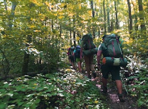
Backpack Jeremy's Run Trail, Shenandoah NP
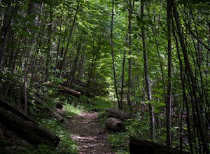
3.310 miThis hike is best done as a two-day, one-night backpacking trip, however it can be done as a day hike if you don't wish to backpack.Jeremy’s Run is a beautifully forested 10 mile roundtrip hike with numerous stream-crossing. The trailhead starts at the Elkwallow Picnic area, at about mile 24 of S...Read more -
Fairfax Station, Virginia
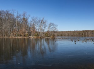
Explore Burke Lake in Fairfax
4.54.7 mi / 0 ft gainBurke Lake Park has something for everyone. Whether you enjoy trail running, hiking, fishing, canoeing, Frisbee golf, or just having a picnic with your family, you can do it all at Burke Lake. Those who want to be active or exercise can run, hike or biket the 4.7 mile trail that circles the entir...Read more -
McLean, Virginia
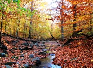
Hike at Turkey Run Park, McLean
4.02 mi / 200 ft gainTurkey Run Park is available to hikers year-around and is located just off of George Washington Parkway in McLean, Virginia. The exits are clearly marked and you simply drive to parking lot C-1 to start this hike.Turkey Run has numerous trail options available but I chose an out-and-back. When yo...Read more -
Johnny's Road, Virginia
Camp along the South Fork Shenandoah River
3.0From Luray, follow Bixler's Ferry Road until you cross the river. The road will then T, go to the right along South Page Valley Road. Follow this road for about 6.5 miles until you pass Shenandoah River Outfitters. Shortly after this it will turn into a gravel road. Drive along the gravel road fo...Read more -
Smithsburg, Maryland
Hike to Cunningham Falls
4.22.8 miThis 78-foot waterfall, among the largest in the state, is easily accessible by two short trails. Lower Trail (0.5 miles) leads directly to the falls, whereas Cliff Trail (0.75 miles) has slightly more difficult terrain and takes you to a viewing platform. To lengthen the adventure, Hunting Creek...Read more -
Luray, Virginia
Mary's Rock via Appalachian Trail
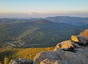
3.36 mi / 1214 ft gainIf you're driving south on Skyline Drive, park in the lot on the right side of Skyline Drive immediately after you cross Route 211/Thornton Gap entrance. If you're driving north on Skyline Drive, the lot will be on the left side immediately before the Thornton Gap entrance. The trailhead is at t...Read more -
Luray, Virginia
Photograph Buck Hollow Overlook
Buck Hollow Overlook is one of 72 beautiful overlooks that are on Skyline Drive. Skyline Dive is the road that winds through the heart of Shenandoah National Park. Over 105 miles long, Skyline Drive offers great views of the surrounding Blue Ride Mountains and valleys while simultaneously offeri...Read more -
Luray, Virginia
Photograph Hazel Mountain Overlook
4.0Skyline Dive runs through the heart of Shenandoah National Park. Consisting of 72 overlooks over 105 miles, Skyline Drive offers great views of the surrounding Blue Ride Mountains and valleys. Hazel Mountain Overlook is located at mile marker 33 along Skyline Drive and is one of a handful of ov...Read more -
Wardensville, West Virginia
White Rocks Loop, George Washington NF
4.59.26 mi / 1690 ft gainThe trail begins near the upper parking area next to a closed gate. If you park in the lower parking area, you'll have to walk about .3 miles up the road to get to this gate. Start out on the forest service (FS) orange-blazed trail, following it for about a quarter mile. From there head onto Old...Read more -
Thurmont, Maryland
Hike Catoctin Mountain
4.58.4 mi / 1370 ft gainPark at Catoctin Mountain Visitor Center. The hike starts at the end of the gravel parking lot across from the visitor center. This is definitely a popular hiking location, so come early on the weekends to guarantee a parking spot and to avoid the crowds. To start, take the right trail towards th...Read more -
Thurmont, Maryland
Hike Chimney Rock at Catoctin Mountain Park
4.25 mi / 600 ft gainChimney Rock is the quintessential breathtaking view that makes a hike worthwhile. By parking at the most northeast parking lot on the trail map you are able to include the sweeping views of Thurmont Vista, and Wolf Rock on your way to Chimney Rock. Highly recommend visiting in the fall, and on w...Read more -
Luray, Virginia
Mary's Rock via Meadow Spring Parking Area
4.62.75 mi / 640 ft gainMary’s Rock is just south of the Thornton Gap Entrance in Shenandoah National Park’s Central District. This write-up details the hike from the Meadow Spring Parking area, but there are alternate routes starting from the Panorama parking area (3.7 miles round trip), Jewell Hollow Overlook (6 mile...Read more -
Luray, Virginia
Hike to Hazel Falls in Shenandoah National Park
5.05.2 mi / 100 ft gainThe trail to Hazel Falls may not be the most "wow" trail in Shenandoah but it is well worth it to reach the beautiful gorge where Hazel River falls over big boulders. You should park at the Meadow Spring parking lot at mile 33 on Skyline Drive. You will see the trail post to the right of the par...Read more -
Luray, Virginia
Photograph Pinnacles Overlook
5.0Pinnacles Overlook in Shenandoah National Park is a southern facing overlook in the Central District that provides one of the best views of Old Rag. Looking south over the Blue Ridge Mountains, this 3,320 foot overlook has a great view of the southern Blue Ridge Mountains as well as a valley th...Read more -
Washington, District of Columbia
Hike the Soapstone Valley Trail
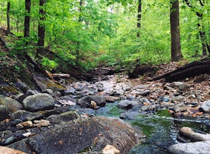
4.02 miThis is an out-and-back trail that starts and ends on different roads, but you will have better luck parking on Albemarle Street NW (where I have indicated the trailhead is on the map). This is a long street with plenty of street parking, just pay attention to the signs to see how long you can le...Read more

