Wallingford, Vermont
Top Spots in and near Wallingford
-
Salisbury, Vermont
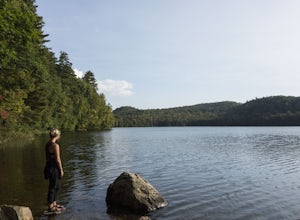
Camp at Lake Dunmore
The campground office for Branbury state park is on the opposite side of Route 53 from the pin on the map here, but the best campsites are where the pin is. Start by going and talking to the rangers at the office, they are super friendly and very helpful for recommendations of hikes or things to...Read more -
Hancock, Vermont
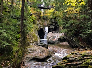
Hike at Texas Falls Recreation Area
5.01 mi / 209 ft gainDirectly across from the main parking area are the viewing access points of Texas Falls. A footbridge crosses high above the flume and gorge, offering the best views. Crossing the bridge, there are plenty of other great view points with wooden railings keeping you away from the steep drops. ...Read more -
Bolton, New York
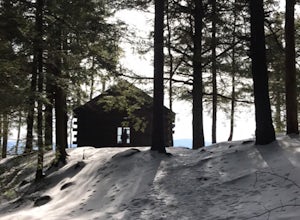
Hike Cat & Thomas Mountains Preserve
5.05.8 miThere are a few ways to approach these two peaks. We chose to do a traverse using two vehicles.Starting at Edgecomb Pond Rd you will park along the road. There will be a sign and yellow discs directing you to the start of the trail. The first 0.4 miles is following a dirt road. You will then ...Read more -
Granville, Vermont
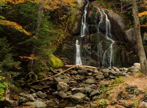
Photograph Moss Glen Falls
4.5While enjoying some of Vermont's most beautiful fall foliage along Route 100, be sure to stop and photograph Moss Glen Falls. Located approximately 3 miles outside of Granville, Vermont, Moss Glen can be found right along the roadside, making these falls easily accessible. There is a large parkin...Read more -
Newbury, New Hampshire
Hike to Lake Solitude, NH
4.04.8 mi / 2510 ft gainThe two most popular routes to Lake Solitude are the Newbury Trail and Andrew Brook Trail. The round-trip distance of the hikes are 4.8 miles and 3.8 miles. Both could be described as moderate in terms of difficulty. The Newbury trail is accessed from Lakeview Ave and Andrew Brook Trail can be a...Read more -
Ticonderoga, New York
Hike to Lost Pond
3.9 mi / 260 ft gainFrom the parking area, follow the trail from the back of the parking area. Very quickly you will hike up to a trail register. The trail is mostly flat with a few inclines and is very well beaten. There are also yellow plastic trail markers to keep you on track. After 1.4 miles you'll reach the ju...Read more -
Cropseyville, New York
Hike Dickinson Hill Fire Tower
4.53 mi / 200 ft gainOnce you drive onto N. Long Pond Road you will follow it appproximately 1.5 miles to the end. From the parking you can take the short walk back on the road to the start of the trail. The trail is actually a rough Fire Tower Road. You will follow this for about 1.3 miles. Here you will see a se...Read more -
Warren, Vermont
Explore Warren Falls
5.00.25 miWarren Falls is a popular local swimming hole just outside of Warren, VT on Route 100. You can access the falls by driving south on Route 100 from Warren (it's 3.5 miles south on the right hand side) or north from Granville on Route 100. The parking lot is clearly marked with a sign and ample par...Read more

