Shaftsbury, Vermont
Top Spots in and near Shaftsbury
-
Albany, New York
Blueberry Hill West Red and Yellow Trail
1.37 mi / 52 ft gainBlueberry Hill West Red and Yellow Trail is a loop trail where you may see beautiful wildflowers located near Albany, New York.Read more -
Fort Ann, New York
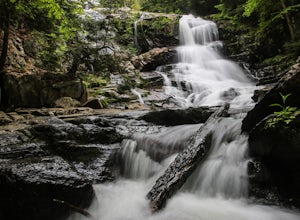
Hike to Shelving Rock Falls
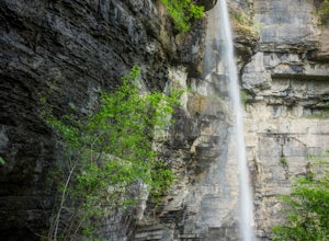
1 mi / 50 ft gainThe hike to beautiful Shelving Rock Falls is only a half mile and well worth the side trip if visiting the east side of Lake George. Shelving Rock Road, the road to the parking area, is long, winding, and unpaved, but maintained pretty well and passable in a sedan. You'll want to take the road a...Read more -
Fort Ann, New York
Hike Shelving Rock Mountain
3.4 mi / 650 ft gainThe trailhead for Shelving Rock Mountain has enough room for about five cars but additional parking can be found on the road leading to it. Be sure to sign the log book and begin the hike by passing around the "stop" car barrier.The trail starts off following a small stream (on your right) but yo...Read more -
Clemons, New York
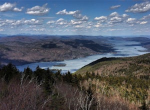
Hike to Black Mountain in Lake George, NY
6.7 mi / 1046 ft gainBlack Mountain is located on the Eastern side of Lake George and is the tallest mountain above Lake George. The trailhead is located on Pike Brook Road (off from Hulett's Rd, Route 6) in Clemons, NY. The parking area is about one mile up Pike Brook Road, on the right.This hike to Black Mountain i...Read more -
Schenectady, New York
Hike Plotter Kill Preserve
4.35.5 mi / 820 ft gainThere are a few entries into the preserve' however, this hike has you entering off of Mariaville Road. There is a kiosk here and you will enter on the Red trail. Shortly after you can go out and back on the Blue trail to view the Upper and Lower Falls from lookouts above. Once back to the Red t...Read more -
Hadley, New York
Hike the Adirondack's Hadley Mountain
5.03.6 mi / 1545 ft gainHadley Mountain historically has faced its share of forest fires. The fires left thin soil, leading to more exposed rock on this fairly quick, scenic hike. Due to the rockiness, when you're thinking about heading out for this hike, be sure to grab a sturdy pair of hiking boots or at least your st...Read more -
Bolton, New York
Hike Cat & Thomas Mountains Preserve
5.05.8 miThere are a few ways to approach these two peaks. We chose to do a traverse using two vehicles.Starting at Edgecomb Pond Rd you will park along the road. There will be a sign and yellow discs directing you to the start of the trail. The first 0.4 miles is following a dirt road. You will then ...Read more -
Mendon, Vermont
Hike to Killington Peak
5.03.4 miThe trail head (Bucklin Trail) is found a couple of miles up Wheelerville Road on the left. Wheerlerville is a dirt road that will be muddy in the spring and summer. The drive is long enough that you will think you did something wrong, but you haven't! the trail head will eventually pop up.The tr...Read more -
368 Weathersfield Trail, Vermont
Hike Mount Ascutney
3.05.2 mi / 2326 ft gainThis route to the top of Mount Ascutney is completed via the Weathersfield Trail. This trail goes past gorgeous Cascade Falls - often frozen in the winter months. There is a great spot to eat lunch at the top of Mount Ascutney to the side of the hang glider landing. While the summit itself does n...Read more -
Erving, Massachusetts
Rattlesnake Loop to Red Trail
1.97 mi / 676 ft gainRattlesnake Loop to Red Trail is a loop trail that provides a good opportunity to view wildlife located near Erving, Massachusetts.Read more -
Castleton, Vermont
Hike around Taconic Mountains Ramble State Park
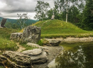
Taconic Mountains Ramble State Park is a unique collection of hiking trails and walking paths that meander more than 204 acres of fields, forests, gorges, cliffs, and gardens. The best way to explore these enchanting trails is to pack a picnic and lace up your hiking boots for a full-day ramble. ...Read more -
Voorheesville, New York
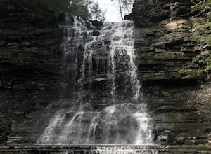
Hike the Indian Ladder Trail
4.53.5 mi / 200 ft gainThere are many parking areas within the park. Park at the overlook parking. From here you head west following the wood fence. This is the Cliff Top trail. Approximately after walking 0.5 miles you will reach the stairs that will lead you to the base of the cliffs. This marks the start of the...Read more -
Deerfield, Massachusetts
South Sugarloaf Trail
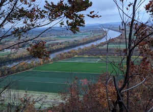
1.48 mi / 404 ft gainSouth Sugarloaf Trail is a loop trail that takes you by a river located near South Deerfield, Massachusetts.Read more -
Altamont, New York
Hike through the Wolf Creek Falls Preserve
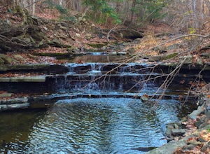
3.03 mi / 200 ft gainOver 3 miles of trails provide access to all parts of the preserve, and end up winding through mixed terrain including a wetland, waterfalls, and old stone walls. The property crosses the Bozenkill Road at two points on either side of private parcels (with beautiful homes), so be vigilant there; ...Read more

