Bridgewater, Vermont
Top Spots in and near Bridgewater
-
Warren, Vermont
Explore Warren Falls
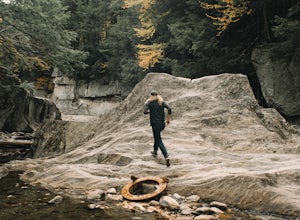
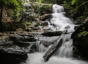
5.00.25 miWarren Falls is a popular local swimming hole just outside of Warren, VT on Route 100. You can access the falls by driving south on Route 100 from Warren (it's 3.5 miles south on the right hand side) or north from Granville on Route 100. The parking lot is clearly marked with a sign and ample par...Read more -
Alexandria, New Hampshire
High Cabin
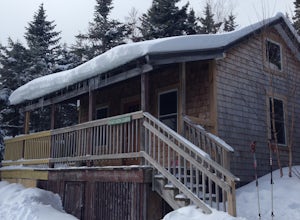
5.04 mi / 1275 ft gainHigh Cabin, located in Cardigan State Forest, is owned and operated by the Appalachian Mountian Club (AMC). It was originally built in 1931 and since renovated in 2004. Renovations included a new roof, siding, bunk beds, a wood stove, and a composting toilet. It comes supplied with wood, bunks(st...Read more -
Bristol, Vermont
Explore Bartlett Falls
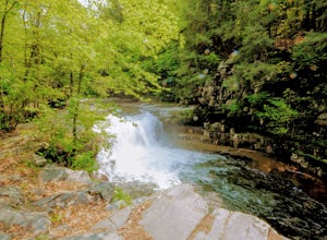
5.0The 14 foot falls plunge into a deep pool, perfect for cliff jumping. There is even a shallow end for younger children. Always take caution when cliff jumping. Make sure your path is clear of rocks. Direction: Turn east on Lincoln Gap Road from Rt. 116 a mile north of Bristol. The falls are vis...Read more -
Bristol, New Hampshire
Drive around Newfound Lake
As a kid, I spent many of my summer and winter vacations on Newfound Lake in New Hampshire and can say without a doubt that it is one of the first places to spark my love for the outdoors. If your'e heading up to the White Mountains in the winter time to ski/snowboard, a drive around Newfound Lak...Read more -
Clemons, New York
Hike to Black Mountain in Lake George, NY
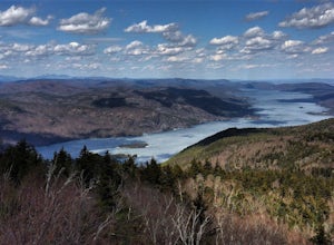
6.7 mi / 1046 ft gainBlack Mountain is located on the Eastern side of Lake George and is the tallest mountain above Lake George. The trailhead is located on Pike Brook Road (off from Hulett's Rd, Route 6) in Clemons, NY. The parking area is about one mile up Pike Brook Road, on the right.This hike to Black Mountain i...Read more -
Warren, New Hampshire
Hike the Mt. Moosilauke Glencliff Trail
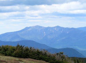
5.07.1 mi / 2454 ft gainTo get to the trailhead, take the 25N, turn right onto High Street and continue along this road until it comes to an end. The Mt Moosiulauke Glencliff Trail takes you through seven miles of forest and mountain scenery. The trail features impressive vistas and eye-catching wildflowers, which might...Read more -
Shaftsbury, Vermont
Hike Around Lake Shaftsbury
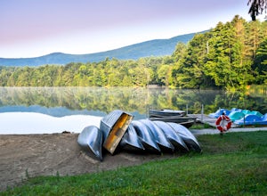
1.3 mi / 42 ft gainLake Shaftsbury State Park is a small park in Southern Vermont between Bennington and Manchester. It is well-loved by locals as swimming spot in the summer, especially for families with kids. Less well known is the nature trail that meanders around the perimeter of the lake. While only a mile in...Read more -
Fort Ann, New York
Hike to Shelving Rock Falls
1 mi / 50 ft gainThe hike to beautiful Shelving Rock Falls is only a half mile and well worth the side trip if visiting the east side of Lake George. Shelving Rock Road, the road to the parking area, is long, winding, and unpaved, but maintained pretty well and passable in a sedan. You'll want to take the road a...Read more -
Fort Ann, New York
Hike Shelving Rock Mountain
3.4 mi / 650 ft gainThe trailhead for Shelving Rock Mountain has enough room for about five cars but additional parking can be found on the road leading to it. Be sure to sign the log book and begin the hike by passing around the "stop" car barrier.The trail starts off following a small stream (on your right) but yo...Read more -
Woodstock, New Hampshire
Hike Mount Moosilauke via Gorge Brook Trail
4.87.4 mi / 2400 ft gainMount Moosilauke is a 4000 footer located in the White Mountain Range of New Hampshire. The summit peaks at 4,802 feet with a prominence of 2,933 feet.If you're new to exploring the White Mountain range this will definitely be a great introduction to what it can offer. The Gorge Brook Trail is th...Read more -
Ticonderoga, New York
Hike to Lost Pond
3.9 mi / 260 ft gainFrom the parking area, follow the trail from the back of the parking area. Very quickly you will hike up to a trail register. The trail is mostly flat with a few inclines and is very well beaten. There are also yellow plastic trail markers to keep you on track. After 1.4 miles you'll reach the ju...Read more

