Wasatch County, Utah
Looking for the best photography in Wasatch County? We've got you covered with the top trails, trips, hiking, backpacking, camping and more around Wasatch County. The detailed guides, photos, and reviews are all submitted by the Outbound community.
Top Photography Spots in and near Wasatch County
-
Salt Lake City, Utah
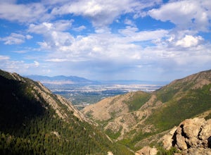
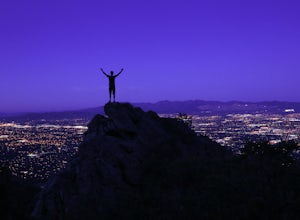
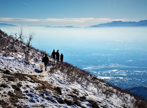
Salt Lake Overlook via Desolation Trail
4.14.76 mi / 1729 ft gainThis popular trail follows a portion of the Desolation Trail leaving from Mill Creek Canyon. The trail to the overlook is 4.75 miles round trip with a 1700 ft elevation gain. You begin at the Desolation Trailhead and then turn around once you have a view of the Salt Lake Valley. It is a perfect h...Read more -
Salt Lake City, Utah
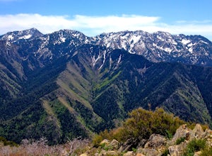
Grandeur Peak East Trail
4.45.97 mi / 2513 ft gainThis is the peak that can be seen from the valley located between Millcreek Canyon and Parleys Canyon. There are 2 trails that head up to this peak, but the one up Millcreek Canyon at the top of Church Fork is by far the more popular/enjoyable one (and the one described here). The other one heads...Read more -
Payson, Utah
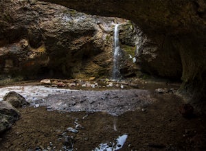
Grotto Falls
4.00.54 mi / 144 ft gainHeading in the canyon you will drive along a winding road for a while until you pass through a gate (Closed during Winter, this is where you will need to pull over and continue down the road on foot) about a mile up you will see a trailhead on the left called "Bennie Creek" and right after you wi...Read more -
Holladay, Utah
Hike Heughs Canyon (Olympus Waterfall)
4.52 mi / 1000 ft gainHeughs Canyon starts right on the edge of Salt Lake City, but within minutes, you’re in a shady forest next to a gurgling stream. This is the prefect after-work hike that can be enjoyed year-round. Two miles round-trip and just over 1,000 feet, the path takes you to a beautiful waterfall that flo...Read more -
Salt Lake City, Utah
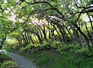
Hike Neff's Canyon
4.3From the parking lot, you will follow a 4-wheel drive track that runs straight up to the beginning of the different trailheads. You can also take an actual trail up to that same spot, situated below the 4-wheel gravel track on the righthand side.There are a few different trails that merge togethe...Read more -
Salt Lake City, Utah
Hike Mt. Aire
4.54 mi / 2000 ft gainMount Aire, standing around 8600 ft, certainly isn't the most inspiring peak in or around Salt Lake City, but to me it serves as a quick summit to catch the sunset when I'm short on time.Getting There:Start by heading up Mill Creek Canyon Rd. After passing the ranger booth, drive about 5.5 miles ...Read more -
Salt Lake City, Utah
Kayak at Little Dell Reservoir
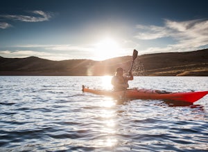
3.8Located just 20 minutes from the heart of Salt Lake City, Little Dell Reservoir is the perfect quick getaway for a recreational paddler or angler.The reservoir is surrounded by mountains in Parleys Canyon, just off of Interstate 80 and along Utah State Route 65. The parking and ranger station are...Read more -
Holladay, Utah
Winter Hike to Mt. Olympus
5.07 mi / 4200 ft gainApproach: You can access the well traveled Mount Olympus Trail the same as you would any other season. Park in the trailhead lot or along Wasatch Blvd. The trail starts on the south side of the parking lot.Route Description: Even in the winter the Mount Olympus trail should be pretty straightforw...Read more -
Holladay, Utah
Mt. Olympus Trail
4.76.46 mi / 4124 ft gainThe trail begins right on Wasatch Blvd. and after the first 0.5 miles you're into the Superior Wilderness. This is a very strenuous hike and you will be gaining elevation the whole way from the parking lot (4830 ft) to the summit (9026 ft). About .2 mile from the summit you will reach a saddle....Read more -
Coalville, Utah
Camp at Echo Reservoir
5.0This scenic reservoir provides you with the opportunity to spend the day on the water. To get here, drive around 45 minutes from Park City toward Coalville. Get off for the exit and take a left once in town; drive along this road until you see the campground entrance on your left.Overnight passes...Read more -
Saratoga Springs, Utah
Saratoga Hot Springs
3.30.7 mi / 46 ft gainAwesome all year round, but one of the best places to chill out during winter. The water is just hot enough to feel amazing and escape from the cold. This place is public and not supervised. It does close from 10pm-6am and police have been known to pass by and enforce it. Pulling in to the parki...Read more -
Salt Lake City, Utah
Grandeur Peak West Face
2.23 mi / 3307 ft gainAre you planning a big adventure and need a boost getting ready for it? You came to the right place. This is my go-to when I’m preparing to climb a big mountain. It’s hard to find a steeper trail in the area (that’s not a game trail), and the West Face is usually free of snow early in the season....Read more -
Saratoga Springs, Utah
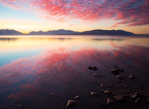
Photograph the Sunrise at Utah Lake
4.0Turn off Highway 68 onto a dirt road towards Utah Lake. You'll see a large sign on your left and a small hill with ATV trails in the distance on your right. Follow the dirt road straight down past the hill. After veering right you can park down fairly close to the water's edge. The dirt road is f...Read more -
Salt Lake City, Utah
Hike Jacks Mountain
4.02.4 mi / 1300 ft gainNamed for a toddler who died of Lukemia in 1995, Jacks Mountain is a beautiful place to sit above the valley and contemplate mortality. On the peak, you’ll find a couple mailboxes containing heartfelt notes from hundreds of hikers throughout the years. It’s the kind of place that restores your fa...Read more -
Evanston, Utah
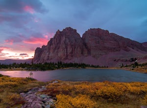
Backpack to Red Caslte Lake and Mt. Wilson
27 mi / 4200 ft gainUtah's 13ers are generally overshadowed by their 14er neighbors to the east, but do not be fooled, Utah's 13ers require a tremendous amount of effort to summit. The closest 13er to a road, Tokewanna, is about 18 miles round trip. The farthest 13er peaks are more than 30 miles round trip. These pe...Read more -
Evanston, Utah
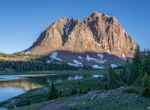
Red Castle and Red Castle Lakes
4.623.13 mi / 2149 ft gainThe Red Castle is a stunning formation of crumbling red rock that rises around several small lakes, high in the Uinta Mountains. The trail begins at the China Meadows Trailhead. From there, it heads south for about 8 miles, winding through lodgepole pine forests and skirting vast alpine meadows, ...Read more

