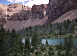
Wallsburg, Utah
Looking for the best fishing in Wallsburg? We've got you covered with the top trails, trips, hiking, backpacking, camping and more around Wallsburg. The detailed guides, photos, and reviews are all submitted by the Outbound community.
Top Fishing Spots in and near Wallsburg
-
Salt Lake City, Utah
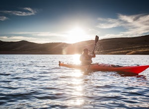
Kayak at Little Dell Reservoir
3.8Located just 20 minutes from the heart of Salt Lake City, Little Dell Reservoir is the perfect quick getaway for a recreational paddler or angler.The reservoir is surrounded by mountains in Parleys Canyon, just off of Interstate 80 and along Utah State Route 65. The parking and ranger station are...Read more -
Kamas, Utah
Hike to Round, Sand, and Fish Lake in the Uinta Mountains
9 mi / 2000 ft gainThe Dry Fork Trailhead at the end of Weber Canyon Rd is the starting point for the hike to Round, Sand, and Fish Lakes in the Uinta Mountains of Utah. In the early spring and summer, this trail can be wet due to snowmelt runoff, but by mid-summer, it dries out and is a fantastic hike. The trail i...Read more -
Evanston, Utah
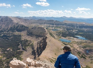
Backpack Naturalist Basin and Summit Mount Agassiz
4.015 mi / 3700 ft gainNaturist Basin is a beautiful area in the High Uintas Wilderness with an abundance of mountains, lakes, meadows, and wildlife. It is best hiked July-September. To get to the trailhead, drive up the Mirror Lake Scenic Byway until you reach the Highline Trailhead Campground, about 3 miles past Mi...Read more -
Oakley, Utah
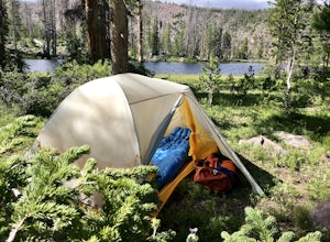
Backpack to Cutthroat Lake
4 mi / 280 ft gainThere isn't a trail to Cutthroat Lake so for a portion of the hike will be cross-country. I highly recommend bringing a GPS but with intermediate route-finding skills you should be able to find your way. We used the Gaia GPS app and this made the hike much easier. The distance depends on the r...Read more -
Evanston, Utah
Amethyst Basin via Christmas Meadows
4.512.57 mi / 2303 ft gainDirections: The trail leaves from the Christmas Meadows Trailhead. From Mirror Lake Scenic Byway (US 150) turn on Christmas Meadows Rd. The campground and trailhead are around 3.5 miles down the road dirt road. The road is suitable for low clearance vehicles. Trip Length: 6 miles each way + opt...Read more -
Evanston, Utah
Backpack to Ryder Lake
4.718 mi / 2000 ft gainRyder Lake is accessed via the Stillwater Trail, beginning at the Christmas Meadows Trailhead off of Mirror Lake Highway. The trail heads due south from Christmas Meadows along the Stillwater River. It winds through lodgepole pine forests and skirts alpine meadows, gradually gaining elevation. A...Read more -
Evanston, Utah
Hike to Ostler Peak in the High Uintas
13.7 mi / 3935 ft gainHiking Ostler Peak in the High Uintas Wilderness is a serious challenge for anyone. Typically, this hike is done over 2-3 days, with an overnight at the beautiful Ostler Lake. Strong hikers can do this hike in one day, however, as long as you are prepared and know the route. The route up Ostler ...Read more -
Evanston, Utah
Kermsuh Lake Trail
5.013.04 mi / 1722 ft gainKermsuh Lake Trail is an out-and-back trail that takes you by a lake located near Oakley, Utah.Read more -
Evanston, Utah
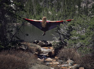
Backpack to Dead Horse Lake
5.021 mi / 1400 ft gainDead Horse Lake is a lightly trafficked and highly scenic route in the High Uintas Wilderness. The trail is easy enough to do overnight but I recommend taking an extra day to explore the area around Dead Horse Lake. From the trailhead you will hike south on the West Fork Blacks Fork trail. The...Read more

