South Jordan, Utah
Top Spots in and near South Jordan
-
Salt Lake City, Utah
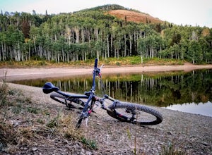
Mountain Bike Dog Lake, Millcreek Canyon
4.4 mi / 1260 ft gainIf it’s an even day and you’re in Salt Lake and you’re in possession of a mountain bike, put down your phone and spend the next 2 hours in pure bliss. Mountain bikers are only allowed to use the trails of upper Millcreek Canyon on even days, which makes for a busy route, but well worth it. This i...Read more -
Salt Lake City, Utah
Trail Run Upper Big Water Trail to Dog Lake
4.06.2 mi / 1267 ft gainDrive all the way to the top of Millcreek Canyon until you can't drive any further. (They close the road further down the canyon in the winter so this trail is not accessible to cars in the winter.) There is a small parking lot at the end of the road, park here. The trail head is going to be on t...Read more -
Salt Lake City, Utah
Hike Old Red Pine Road Trail
5.04.2 mi / 1000 ft gainThe trail begins at the parking lot at the very top of Millcreek, called Upper Big Water. The trail begins on the east side of the lot, where bathrooms are available. Walk to trail sign and head left to Old Pine Road Trail.From there, the trail remains relatively flat with some steep gains. The t...Read more -
Salt Lake City, Utah
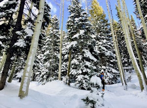
Backcountry Ski Beartrap Fork
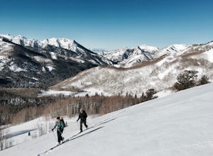
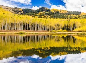
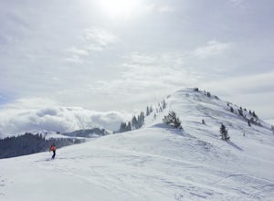
5.04 mi / 2016 ft gainYou can access the trailhead to Beartrap by driving up Big Cottonwood Canyon 10.4 miles and parking on the right side of the road. You will see the "Bear Trap Fork Rd" sign on the left side of the road, this is where the trailhead begins. Make your way up the skin track through the dense aspens u...Read more -
Provo, Utah
Camp at Timpooneke Campground
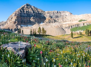
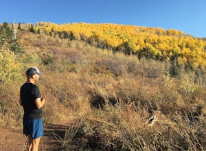
5.0The Timpooneke Campground sits at 7,400 ft. elevation with views of Mount Timpanogos and campsites surrounded by beautiful aspen, fir and spruce trees. The leaves in the fall put on a show you will not want to miss. Within the campground there are 9 equestrian sites, 1 large group site and 20 sta...Read more -
Salt Lake City, Utah
Backcountry Ski Willow Fork
3 mi / 1700 ft gainWillow Fork is just across the mountain from Solitude Ski Resort in Big Cottonwood Canyon. You can access Willow Fork from a few different trailheads; either from the Willow Heights Trailhead or across the street from both the lower and upper Solitude parking lots. The Willow Heights Trailhead wi...Read more -
Salt Lake City, Utah
Photograph Wildlife at Willow Lake
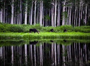
2.2 mi / 629 ft gainWillow Lake has become my favorite spot in all of Utah. It feels so distant from civilization in the mountains, but is only a 25 minute drive from Salt Lake City. I have hiked to Willow Lake close to 10 times this year during different seasons, and have never seen more than 5 people on the trail...Read more -
Salt Lake City, Utah
Camp at Willow Lake
4.62.41 mi / 659 ft gainThe trailhead to Willow Lake is about 11 miles up Big Cottonwood Canyon and is on the north side of the road right after the passing lane begins. It can be easy to miss, and is only marked with a plaque on a rock (40.630302, -111.604639). As you hike a little in from the road you will see the tra...Read more -
Salt Lake County, Utah
Willow Lake
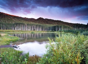
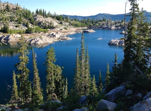
4.52.41 mi / 659 ft gainThe Trail: Follow the marked trail and you'll hike less than a mile up to the edge of Willow Lake. Moose like to hang out in the thick willows there, so make lots of noise to warn them that you're coming and you won't startle any. Standing on the shoreline, you'll have a great view of Solitude ...Read more -
Provo, Utah
Mount Timpanogos via Timpanogos Trail #053
4.815.72 mi / 4970 ft gainThe Timpooneke trailhead is located in American Fork Canyon, next to the Timpooneke Campground. There is a $6 fee to enter the canyon, unless you have a National Park Pass with which you get in free. On the weekends, it may be difficult to find parking at the Timpooneke Campground, so arrive earl...Read more -
Provo, Utah
Timpanogos Basin via Timpooneke Trail
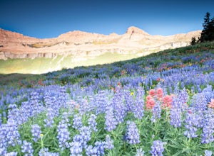
5.09.78 mi / 3015 ft gainThe wildflowers are normally at their peak from mid to end of July or the beginning of August. Depending on the amount of snow that year and how wet of a spring we had it could vary a little bit. But anytime during the mid summer you will encounter amazing Indian Paintbrush, Lupine, and other co...Read more -
Provo, Utah
Hike to Scout Falls
2.8 mi / 675 ft gainStarting at a little over 7,300 feet, the Timpooneke Trailhead offers a beautiful alpine setting for starting your hike. Several trails originate from the same parking lot so you will want to make sure you get on the correct trail. The parking lot can also get quite full on summer days as people ...Read more -
Salt Lake City, Utah
Trail Run or Hike Lambs Canyon
4.04 mi / 1531 ft gainTake I-80 East through Parley's Canyon and get off at the Lambs Canyon Exit. Stay right off the exit and start heading up the canyon. You will follow the road 1.5 miles. You will see the trail head on the right side of the road with a small area to park on the left next to the bathrooms.The trail...Read more -
Salt Lake City, Utah
Backcountry Ski USA Bowl
1.6 mi / 1700 ft gainTo get the the trailhead, drive up Big Cottonwood Canyon until you reach the upper entrance into Solitude Ski Resort. You can park on the road just below the entrance to the resort. Across the street is a road called Old Stage Road, this is where the trail head begins. The road is covered in snow...Read more -
Brighton, Utah
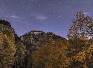
Photograph Star Trails at Silver Lake
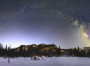
1 miSilver Lake is one of the easiest, most accessible hikes in the Wasatch, located at the top of Big Cottonwood Canyon, Utah, close to the ski resorts of Brighton and Solitude.The lake is accessible all year; with a boardwalk or a well-signed path circling the lake through spring to fall. In the wi...Read more -
Brighton, Utah
Hike Lakes Mary, Martha and Catherine (Brighton Lakes)
4.64.41 mi / 1253 ft gainThis trail is a local favorite because you can make it as hard or as easy as you want it to be! You can stop at the first lake which is only 1 mile from the parkinglot, or you can go to the top of one or more of the 5 peaks that are surrounding the lakes for an added challenge. It is 3.5 miles ro...Read more

