Peoa, Utah
Top Spots in and near Peoa
-
Salt Lake City, Utah
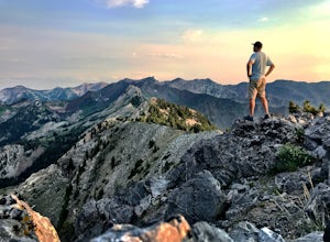
Kessler Peak in Utah's Big Cottonwood Canyon
4.74.66 mi / 2733 ft gainKessler Peak is a 10,403-foot peak located in Big Cottonwood Canyon. From the top, you can see all the way to the Uintas to the East, The tram at Snowbird to the south, and the Salt Lake Valley to the west. To the north is Mount Raymond and Gobblers Knob. Kessler Peak is the terminus and highes...Read more -
Salt Lake City, Utah
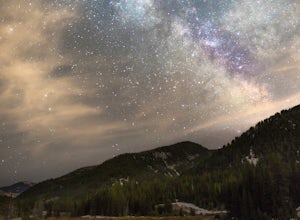
Big Cottonwood Canyon Astrophotography
Located in the Wasatch Mountains, less 30 minutes from Salt Lake City, Big Cottonwood Canyon, provides some of the best rural dark-sky viewing of the Milky Way in the Wasatch.The Donut Falls trail head/Mill D trail head, close to the ski resorts of Brighton and Solitude, additionally provides one...Read more -
Salt Lake City, Utah
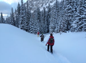
Snowshoe to Cardiff Mine
7 mi / 1500 ft gainThe trail starts from the same trailhead as Donut Falls which is extremely popular. In the winter, the gates are closed and you need to park just off the highway. Follow the road and crowds along the trail but once you cross the bridge continue straight ahead instead of following the trail that c...Read more -
Salt Lake City, Utah
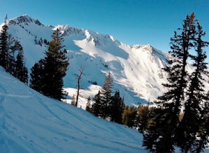
Backcountry Ski Cardiff Fork
4 miDrive up Big Cottonwood Canyon until you reach the Mill D South parking lot (aka Donut Falls parking). Head up the main road until you reach the bathrooms at the Donut Falls trailhead. Here you can either keep straight past the bathrooms, but the best way to go is to keep right along the road. Yo...Read more -
Brighton, Utah
Hike or Trail Run Butler Fork
5.07.2 mi / 1964 ft gainTo get to the trailhead, drive up Big Cottonwood Canyon 8 miles. The parking lot is on the left side of the road. The first half mile is the steepest of the whole trail so don't get too intimidated by it, it mellows out a lot after. You will come to fork in the trail about a mile in, you can eith...Read more -
Brighton, Utah
Backcountry Ski Butler Fork
2 miThe trail head for Butler Fork is 8 miles up Big Cottonwood Canyon on the left side of the road. Throw your gear on and head up the trail. Continue along the skin track and after about 20 minutes you'll come upon a fork in the trail. The right trail will take you up the East Fork towards Butler B...Read more -
Salt Lake City, Utah
Little Mountain in Emigration Canyon
4.34 mi / 440 ft gainJust off of Highway 80, head up Emigration Canyon Road to the trailhead. There is a large parking area on the opposite side of the road from the trailhead. The parking area comes equipped with a bathroom if you need one. To get started, cross the road and start heading uphill. Keep in mind that...Read more -
Kamas, Utah
Hike Riley's Canyon
5 mi / 200 ft gainAproximately two miles Southeast of Woodland, UT on Highway 35 you will come to a small turnout on the North side of the road. It is sufficient in size for a handful of vehicles to park, so that passengers can make their way into Riley's Canyon. From the turn off, look to the North and you will s...Read more -
Alta, Utah
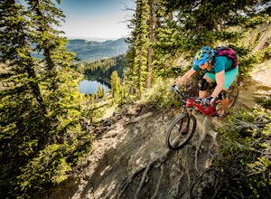
Mountain Bike Catherine's Pass
4.5 mi / 1200 ft gainThis ride isn't for the faint of heart. It's seriously tough. It's one of the most scenic and rewarding rides you'll ever do, though. The climbing is steep and the descents are rocky.Try to ride it early in the morning. Hikers frequent these trails. An early morning rip is the best way to keep fr...Read more -
Alta, Utah
Backcountry Ski Grizzly Gulch
1.5 mi / 1400 ft gainTo get to the Grizzly Gulch trailhead, drive up Little Cottonwood until you reach Alta Ski Resort. Keep left along the road and park in the upper Alta parking lot. Head up the cat track with all the cats and snowmobiles parked to the side. About 100 yards up, you'll take a left and head up the st...Read more -
Alta, Utah
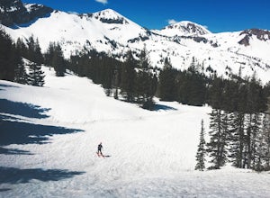
Spring Backcountry Ski Alta Ski Area
5 mi / 1800 ft gainStill have the skiing itch but it's late in the spring and the resorts have closed and the other backcountry skiing areas have melted? No problem, just head up to Alta Ski Area and get some amazing backcountry corn skiing laps in. Drive up Little Cottonwood Canyon all the way to the top and park...Read more -
Salt Lake City, Utah
Hike Bowman Fork to Baker Pass
5.08.3 mi / 3375 ft gainTo get to the trailhead, drive up Millcreek Canyon about 4.5 miles until you reach the Terraces Picnic area. Turn here and drive up the small road until you reach the parking lot by the bathrooms. You'll see the Bowman Fork trailhead marker next to the parking lot. The trail climbs steadily and i...Read more -
Alta, Utah
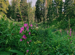
Albion Meadows Trail
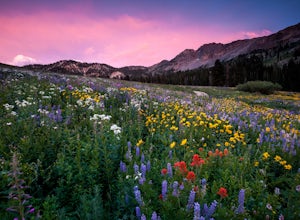
4.92.86 mi / 696 ft gainAt Albion Basin, wildflowers you will see include lupine, Indian paintbrush, American bistort, sunflowers, fireweed, and many more! Drive to the very top of Little Cottonwood Canyon and park at the Albion Grill. There is a trail just behind the Grill that takes you through a variety of wildflowe...Read more -
Alta, Utah
Cecret Lake from Albion Basin
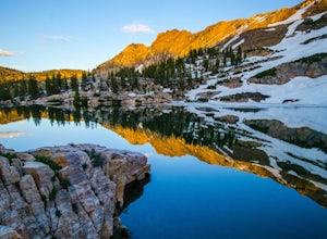
4.94.48 mi / 1214 ft gainThe out-and-back trail from Albion Basin to Cecret Lake climbs a gentle slope and along the way there are interpretive signs with information about the basin, its plants, animals and geology. From the lake you can return the same way you came, or explore the area more. If you head there during t...Read more -
Salt Lake City, Utah
Hike Mount Wolverine
4 mi / 1425 ft gainThis mountain can be conquered two ways and is a great after-work adventure to watch the sunset, an early morning trail run, or a fun family challenge. The trail is 4 miles and 1,425 feet elevation gain (from the Alta side) or 6 miles and 2,050 feet (from the Brighton side). Both routes converge ...Read more -
Salt Lake City, Utah
Backpack Lake Catherine and Bag Sunset Peak
3.53 mi / 1200 ft gainAny chance to get into the backcountry of the Wasatch Mountains is worth it. Many people day hike in the area, but not very many backpack in. The trail meets up with the Great Western Trail and overlooks Lake Catherine. The best place to camp is in the woods next to the lake. Hike down to the lak...Read more

