Peoa, Utah
Looking for the best hiking in Peoa? We've got you covered with the top trails, trips, hiking, backpacking, camping and more around Peoa. The detailed guides, photos, and reviews are all submitted by the Outbound community.
Top Hiking Spots in and near Peoa
-
Salt Lake County, Utah
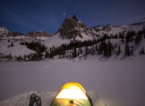
Lake Blanche & Sundial Peak
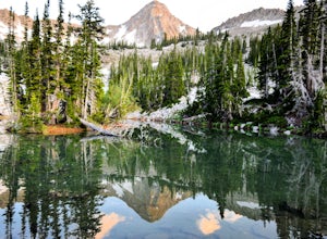
5.09.52 mi / 4098 ft gainThis is a popular hike all year round, but less popular in the winter. If you’re backpacking you’ll most likely be alone. In winter, the lake is covered in snow, but Sundial Peak is one of the most picturesque mountains in the Wasatch. Especially when it is dusted with snow. You’ll also be far en...Read more -
Salt Lake County, Utah
Broads Fork Twin Peaks
5.08.57 mi / 4984 ft gainThe Broads Fork trailhead starts in Big Cottonwood Canyon in the same parking lot as the Lake Blanche trailhead. This trailhead is on the west side of the parking lot. The trail is marked and easy to follow for a good chunk of the way. You will come to a big basin and alpine meadow where you wil...Read more -
Salt Lake County, Utah
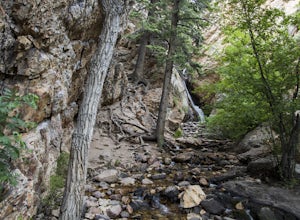
Hidden Falls
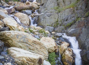
4.20.16 mi / 138 ft gainHidden Falls is a beautiful little waterfall with minimal crowds. When I say minimal, I mean I've only seen another person there 1 of the 5 or 6 times that I have been. Take it in. Stay a while. Scramble around the small canyon for different perspectives of the falls or the creek. If you don't ha...Read more -
Salt Lake City, Utah
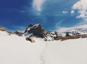
Snowshoe Lake Blanche
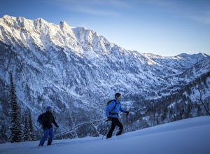
5.05.6 miLake Blanche is an extremely popular hike along the Wasatch Range in Utah. During the summer and fall months the lake, wildlife, flowers, and Sundial Peak as a backdrop offer spectacular views.Lake Blanche is one of the most beautiful and scenic lakes in Utah and turns into a winter wonderland on...Read more -
Salt Lake City, Utah
Broads Fork Basin and Beaver Pond
4.05.1 mi / 2083 ft gainThe Broads Fork trailhead starts in Big Cottonwood Canyon in the same parking lot as the Lake Blanche trailhead, this trailhead is on the west side of the parking lot. The trail is very easy to follow and is well marked. Follow the trail until you come to a great big basin. Here you will be able...Read more -
Salt Lake City, Utah
Hike Mt. Aire
4.54 mi / 2000 ft gainMount Aire, standing around 8600 ft, certainly isn't the most inspiring peak in or around Salt Lake City, but to me it serves as a quick summit to catch the sunset when I'm short on time.Getting There:Start by heading up Mill Creek Canyon Rd. After passing the ranger booth, drive about 5.5 miles ...Read more -
Sandy, Utah
Red Pine Lake Trail
5.06.94 mi / 1995 ft gainRed Pine Lake, located in Red Pine Fork of the Wasatch Mountains, is one of the premier hiking and backpacking destinations in Little Cottonwood Canyon. Red Pine Fork is sandwiched in between White Pine Fork and Maybird Gulch to the east and west, respectively. All three are accessed via the Whit...Read more -
Sandy, Utah
White Pine Lake
4.59.97 mi / 2917 ft gainJust about 5 miles (2-2.5 hrs) from the trailhead, you will find the beautiful White Pine Lake where the water is an intense blue color. It's an amazing place for photos and just hanging out on a summer or fall afternoon. Along the way you will have great views of mountains of all colors, beautif...Read more -
Salt Lake City, Utah
Hike Stairs Gulch
4.2Drive up Big Cottonwood Canyon for around 2.8 miles, parking will be along the road and there will be a large rock waterfall on the right hand side of the road. The trailhead is just a short distance from that rock fall (40.623824, -111.743208)Stairs Gulch is an easy, short hike, unless you're lo...Read more -
Salt Lake City, Utah
Hike Neff's Canyon
4.3From the parking lot, you will follow a 4-wheel drive track that runs straight up to the beginning of the different trailheads. You can also take an actual trail up to that same spot, situated below the 4-wheel gravel track on the righthand side.There are a few different trails that merge togethe...Read more -
Sandy, Utah
Summit the Pfeifferhorn
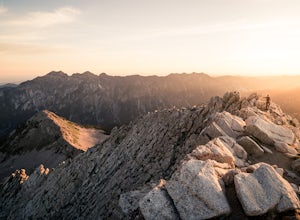
5.09 mi / 3700 ft gainStarting at the White Pine Trailhead in Little Cottonwood Canyon, UT, hike southwest until reaching the junction to Red Pine Canyon. Take the trail that crosses the stream and continues west around the ridge. The trail will quickly turn south and begin to gain elevation. Continue west as you pass...Read more -
Sandy, Utah
Hike to Maybird Lakes (Maybird Gulch)
5.07.5 mi / 2000 ft gainThis out and back hike begins at the same trailhead as White Pine Lake and Red Pine Lake which are both a lot more popular that Maybird Lakes. You follow the trail to Red Pine Lake for the first 2.5 miles and then there is a bridge and you follow that across the river to get on the trail to Maybi...Read more -
Sandy, Utah
Camp at the Cottonwood Ridgeline
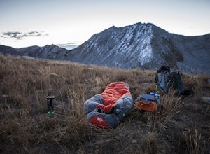
Begin at the White Pine Trailhead in Little Cottonwood Canyon. Follow the trail up toward Red Pine Lake. The trail gets a little hard to follow after the lake, but find your way up to the ridge between Pfeifferhorn and White Baldy. Set up camp and enjoy a night in the high mountains. Morning will...Read more -
Sandy, Utah
Winter Hike the Pfeifferhorn
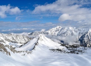
5.09 mi / 3600 ft gainRising to a height of 11,326 feet, the Pfeifferhorn is one of the most majestic and iconic peaks in the Wasatch Mountains, and also one of the most popular mountains to hike. During the summer and fall, there is a well beaten trail all the way to the summit, but during the winter and spring, this...Read more -
Sandy, Utah
Ski or Snowboard Pink Pine Ridge
Arrive at the White Pine Trailhead early and start up from the main trailhead. Stay on that trail until you hit the river (Most of the time the river is buried, so look for a sign sticking up out of the snow) and the fork to go up to White Pine or Red Pine. Cross the river heading west and contin...Read more -
Sandy, Utah
Backcountry Ski White Pine Fork
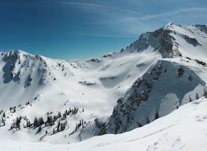
7 miThe White Pine Trailhead is up Little Cottonwood Canyon on the south side of the road just before you get to Snowbird Ski Resort. The parking lot fills up very quickly so an early start is recommended. The skin track starts in the southwest corner of the parking lot near the bathrooms. You will f...Read more

