Parowan, Utah
Looking for the best hiking in Parowan? We've got you covered with the top trails, trips, hiking, backpacking, camping and more around Parowan. The detailed guides, photos, and reviews are all submitted by the Outbound community.
Top Hiking Spots in and near Parowan
-
Springdale, Utah
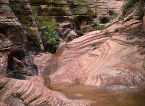
Hike Many Pools
4.62 miTo get there, drive about .8 miles east of the smaller tunnel on the Zion-Mt. Carmel highway. There will be a place to pull out and park on a large turn. Continue walking down the road about 150 yards east and cross the street before the next turn. There is no marked trail, but there should be a ...Read more -
Hurricane, Utah
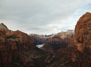
Canyon Overlook Trail
4.80.88 mi / 57 ft gainThe trailhead is located east out of the 1.1 mile long tunnel off highway 9. Parking is available immediately to the right after exiting the tunnel and the trail then begins with these charming steps, carved into sandstone, that climb above the Zion-Mt. Carmel Tunnel. The trail is broad and easy ...Read more -
Hurricane, Utah
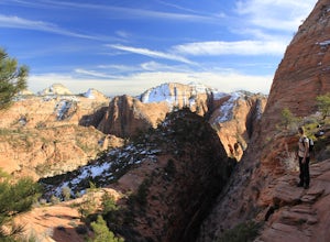
Hike the East Temple Saddle Loop
5.02.56 mi / 2500 ft gainThis adventure is a strenuous 4-mile (3-5 hour) loop into the backcountry of ZNP and is not recommended for families or those with a fear of heights. It begins at the Canyon Overlook Trailhead located on the east side of the Zion-Mount Carmel Tunnel. Parking in the area is very competitive and I ...Read more -
Hurricane, Utah
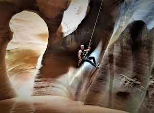
Canyoneering Pine Creek Canyon, Zion
1.5 mi / -300 ft gainDisclaimer: Canyoneering is a dangerous and technical activity. Don’t enter any canyon without the skills to match it, or the knowledge to navigate it. Pine Creek requires a canyoneering permit that can be reserved online and picked up at the Zion Visitor Center. Be sure to reserve your permit 3 ...Read more -
Hurricane, Utah
Pine Creek Bridge
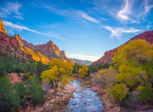
4.41.46 mi / 69 ft gainThe view of the Watchman from Canyon Junction Bridge was formerly one of the most highly photographed views in Zion National Park. Per Zion National Park regulations, standing on the Canyon Junction Bridge for photographs is not permitted. Your best alternative is Pine Creek Bridge, a pedestrian ...Read more -
Hurricane, Utah
Camp Under Zion's Watchman
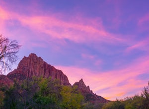
4.3Watchman Campground is one of the most popular campgrounds at Zion National Park. With a prime location only a ¼ mile away from the South entrance and gorgeous scenery right outside of your tent, including the tall sandstone cliffs that surround it, it’s easy to see why this campground is everyon...Read more -
Virgin, Utah
Camp on Dalton Wash Road
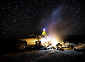
5.00.5 mi / 500 ft gainZion National Park. Truly one of the beauties of the American Southwest. With red walls and orange sunsets, Zion is a must-see. However, during the busy season of the parks, finding a campsite that hasn't been snagged can be difficult. That's why I'd suggest looking for a quieter, equally as beau...Read more -
Kanab, Utah
Bull Valley Gorge Trail
0.89 mi / 49 ft gainBull Valley Gorge Trail is an out-and-back trail that takes you by a river located near Cannonville, Utah.Read more -
Kanab, Utah
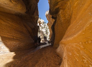
Hike WIllis Creek Slot Canyon
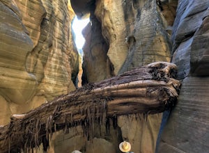
4.7Willis Creek Slot Canyon begins at the Willis Creek Trailhead, located in Grand Staircase Escalante National Monument. The trail is very easy to find and follow. It begins winding through junipers for several hundred feet before dropping gradually into a wash, at which point it meets up with Will...Read more -
Toquerville, Utah
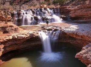
Toquerville Falls
4.811.75 mi / 2044 ft gainToquerville Falls is a hidden waterfall nearby a small town named Toquerville. The road is rugged - saying rugged is kind of an understatement. Medium or high profile 4x4 is recommended. I drove a Toyota FJ Cruiser and it took me about half an hour to get there from Toquerville. The picture doesn...Read more -
Pine Valley, Utah
Whipple Trail
11.56 mi / 3133 ft gainWhipple Trail is an 11.6-mile out-and-back hike. You'll hike switchbacks and climb elevation to a valley in the Pine Valley Mountains. With the distance and elevation gain, this can be a challenging hike. For the first 2 miles, you climb close to 900 ft in elevation, but it’s absolutely stunnin...Read more -
Rockville, Utah
Camp off the Smithsonian Butte Backcountry Byway
5.09.5 mi / 800 ft gainSmithsonian Butte Backcountry Byway is gorgeous 9.5 mile road that runs between Rockville near the entrance to Zion National Park and Apple Valley UT, and affords excellent places to camp & boondock *as long* as it is 0.5 miles from the road itself (and there are numerous turn offs). To get ...Read more -
Orderville, Utah
Kanab's Peek-a-Boo Canyon
4.87.71 mi / 587 ft gainThe trailhead is Red Canyon (aka Peek-a-boo) trailhead located just off of Highway 89 between Kanab and Mt. Carmel Junction. The GPX track shows the entirety of the trail, but if you have 4WD and a high-clearance vehicle, you're able to reach the closer parking area for a less than 1-mile roundtr...Read more

