Park City, Utah
Park City is Utah’s best destination for any and every mountain adventure you can think of. With a lift that takes you directly from downtown straight to Park City Mountain, you really can’t beat the access to the mountains. Go from grabbing a coffee on Main Street to taking in an epic summit view of the Wasatch Range in just minutes. Fly fishing, hiking, mountain biking, hot air balloon rides, alpine coasters, zip lines, and even bobsledding are all options for a day spent in Park City.
Top Spots in and near Park City
-
Evanston, Utah
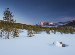
Camping and Skiing at Lily Lake
When driving to the trailhead you must go through Evanston Wyoming to get there. The trailhead is located near the Bear River Lodge off the Mirror Lake Highway (UT 150).The Lily Lake area in the Uintas is full of snowy landscapes waiting to be explored on skis, snowshoes, or even a snowmobile. Yo...Read more -
Layton, Utah
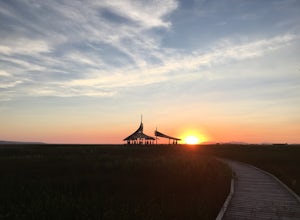
Stroll through the Great Salt Lake Shorelands Preserve
5.01 miThe wetlands of The Nature Conservancy's Great Salt Lake Shorelands Preserve are a unique system of salt and fresh water marshes, ponds, pools, sloughs and mudflats. It is a rich feeding ground for tens of thousands of migrating birds, making this destination a birder's paradise.Great for all ski...Read more -
Evanston, Utah
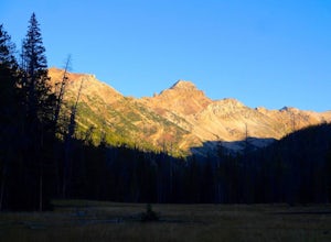
Backpack Mount Beulah via East Fork of the Bear River Trailhead
5.018 mi / 3423 ft gainGetting thereThis trip could be crammed into a really long day or even two days, but give yourself three days to really enjoy the area and not be too pressed for time.Your departure point is the East Fork of the Bear River Trailhead on the north slope of the Uintah Mountains. For most, this will ...Read more -
Huntsville, Utah
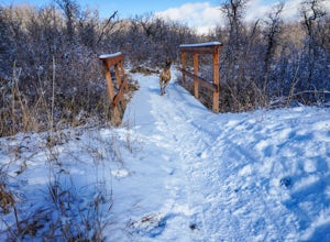
Green Pond Loop
4.52.44 mi / 436 ft gainAbout a mile before Snowbasin, is a parking lot with a map and trail marker. The first incline is steep and follows a single track trail that leads to the ponds. This trail is great year-round, but in the winter, you may have some stray backcountry snowboarders in the area. It's pretty quiet over...Read more -
Evanston, Utah
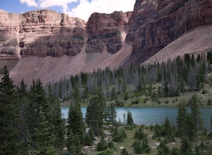
Backpack to Dead Horse Lake
5.021 mi / 1400 ft gainDead Horse Lake is a lightly trafficked and highly scenic route in the High Uintas Wilderness. The trail is easy enough to do overnight but I recommend taking an extra day to explore the area around Dead Horse Lake. From the trailhead you will hike south on the West Fork Blacks Fork trail. The...Read more -
Davis County, Utah
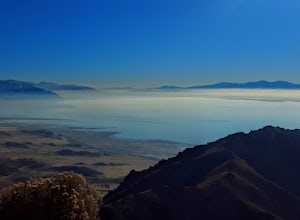
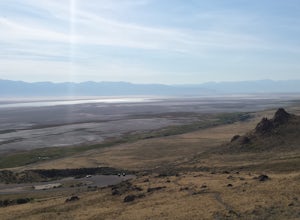
Hike Frary Peak Trail on Antelope Island
5.06.4 mi / 2030 ft gainThe Frary peak trail is the highest point of Antelope Island and can be found a short drive off of I-15 north on Antelope Drive near Layton. There is a fee to access the island, but well worth it. When you get to the island, head left along the east side of the island toward Fielding Garr Ranch. ...Read more -
Davis County, Utah
Hike the Frary Peak Trail
4.57 mi / 2050 ft gainThis is a fairly easy hike starting at the parking lot near the trailhead. You will encounter little or no obstacles on your hike, just a nice incline leading you to the highest point of the island.You will be able to see lots of buffalo roaming around most of the island on your way up. Be sure t...Read more -
Ogden, Utah
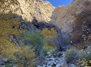
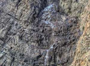
Waterfall Canyon Trail via Ogden Park
3.03.3 mi / 1699 ft gainWaterfall Canyon Trail via Ogden Park is an out-and-back trail that takes you by a waterfall located near Ogden, Utah.Read more -
Syracuse, Utah
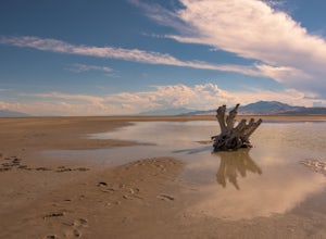
Photograph the Famous Stump by the Antelope Island Causeway
4.8If you've ever visited Antelope Island State Park, there is no doubt you've seen the stump. This dead, bleached focal point with it's gnarled branches stands out in the middle of the vast landscape of the Great Salt Lake. It is located on the South side of the causeway, approximately two miles fr...Read more -
Huntsville, Utah
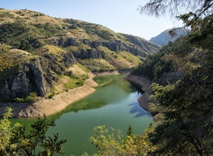
Hike the Skull Creek Trail of Causey Reservoir
4.8 mi / 400 ft gainTo get to the trailhead from Ogden, Utah, take 12th street east up canyon and around Pine View Reservoir. When you get to Huntsville, turn right and continue to head east up the canyon. IN 8 miles you will come to a sign for Causey Road. Turn right here and follow the road to the dam. Turn right ...Read more -
Ogden, Utah
Waterfall Canyon
4.02.44 mi / 1394 ft gainWaterfall Canyon is one of the most popular hikes in the Ogden area. The trailhead is easy to find, just head east on 29th street until you hit the base of the mountains and the parking lot is on the right. There are plenty of parking spots and restrooms but sometimes the restrooms are locked. T...Read more -
18899-19003 U.S. Highway 89, Utah
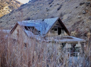
Visit the Flooded Thistle Ghost Town
3.0Thistle, Utah was a small community located in Spanish Fork Canyon, founded in 1883. It flourished for a time as a ranching community and eventually became a major stop on the rail line that ran through it. This all changed in 1983 when a massive landslide dammed the Spanish Fork River and floode...Read more -
Ogden, Utah
Malans Peak
5.04.3 mi / 2129 ft gainYou can reach this trail either via 27th Street or 29th Street in Ogden, Utah. Get on one of those roads and then head east until you reach the mountain. On 27th St. there is some parking on the road with a sign reminding people to keep their dogs on leash. On 29th St. there is a large parking lo...Read more -
Ogden, Utah
Hike the Wheeler Creek and Icebox Canyon Loop
4 mi / 400 ft gainTo get to the trailhead from Ogden drive up Ogden Canyon toward Pine View Reservoir. Right when the canyon begins to open up and you can see the actual dam there is a turn off on the south side of the road that leads down a dirt road to a very small parking area and the trailhead. If the parking ...Read more -
Evanston, Utah
Hike to Tokewanna Peak in the High Uintas
17 mi / 4202 ft gainClimbing all of Utah's 13ers is nota popular trend, yet. Most people seek out Colorado's 14ers for their summit height, but don't let Utah's 13ers be overshadowed by their neighbors to the East. Utah's 13ers are remote. The closest 13er to a road is Tokewanna which comes in around 17-18 miles rou...Read more -
Syracuse, Utah
Buffalo Point Trail
5.00.95 mi / 253 ft gainBuffalo Point Trail is a heavily trafficked out-and-back trail that takes you by a lake located near Syracuse, Utah.Read more

