La Verkin, Utah
Looking for the best hiking in La Verkin? We've got you covered with the top trails, trips, hiking, backpacking, camping and more around La Verkin. The detailed guides, photos, and reviews are all submitted by the Outbound community.
Top Hiking Spots in and near La Verkin
-
Hurricane, Utah
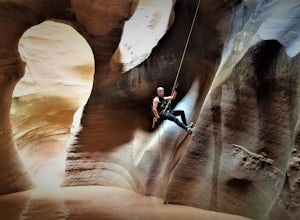
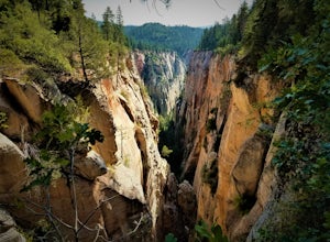
Canyoneering Pine Creek Canyon, Zion
1.5 mi / -300 ft gainDisclaimer: Canyoneering is a dangerous and technical activity. Don’t enter any canyon without the skills to match it, or the knowledge to navigate it. Pine Creek requires a canyoneering permit that can be reserved online and picked up at the Zion Visitor Center. Be sure to reserve your permit 3 ...Read more -
New Harmony, Utah
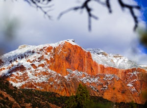
Middle Fork Taylor Creek in Kolob Canyon
4.04.86 mi / 889 ft gainThe Taylor Creek trailhead sits in the little-explored part of Zion National Park known as Kolob Canyon just south of Cedar City. The trail starts at around 6,000 feet and then drops a little lower in to the canyon and runs along Taylor Creek. With 450 feet of elevation change along the five-mile...Read more -
Hurricane, Utah
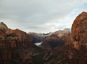
Canyon Overlook Trail
4.80.88 mi / 57 ft gainThe trailhead is located east out of the 1.1 mile long tunnel off highway 9. Parking is available immediately to the right after exiting the tunnel and the trail then begins with these charming steps, carved into sandstone, that climb above the Zion-Mt. Carmel Tunnel. The trail is broad and easy ...Read more -
Hurricane, Utah
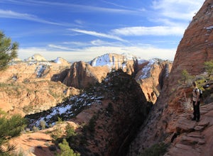
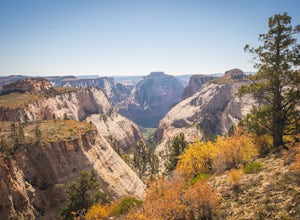
Hike the East Temple Saddle Loop
5.02.56 mi / 2500 ft gainThis adventure is a strenuous 4-mile (3-5 hour) loop into the backcountry of ZNP and is not recommended for families or those with a fear of heights. It begins at the Canyon Overlook Trailhead located on the east side of the Zion-Mount Carmel Tunnel. Parking in the area is very competitive and I ...Read more -
Hurricane, Utah
West Rim Trail, Zion NP
5.014.41 mi / 3000 ft gainThis 14.5 mile (one-way) trek is a multi-functional trail. The trail can serve as standalone trail allowing hikers to get in either a solid in-and-out day hike or as a leg to a much bigger and epic Trans-Zion Trek. For those interested in the later, the West Rim Trail is the leg of the journey th...Read more -
Hurricane, Utah
Canyoneering Boundary Canyon, Zion
8 mi / 2000 ft gainDisclaimer: Canyoneering is a dangerous and technical activity. Don’t enter any canyon without the skills to match it, or the knowledge to navigate it. Your Boundary Canyon adventure starts at the West Rim Trailhead with a pleasant stroll down an old logging road. Dodge fallen trees and enjoy a l...Read more -
Washington County, Utah
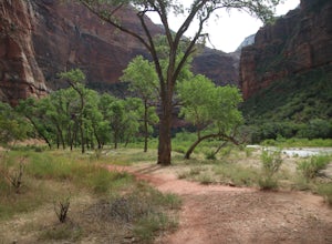
Zion National Park Bus stop 8
2.7According to the park, there is nothing at this spot, so not many people stop. If you do not like large crowds, this is the perfect place to stop. There is a small trail that leads to the river and a beautiful vista with the massive canyon walls on all sides. There are several areas in this part ...Read more -
Springdale, Utah
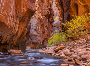
The Narrows, Zion NP
4.99.73 miHiking the narrows in Zion National Park is one of my favorite hikes and something I return for almost every year, I can still remember my first visit as a kid. There's no other place like it in the National Park system and the stunning beauty of its towering walls and vibrant river make it a top...Read more -
St. George, Utah
Running Chuckwalla
5.0The Chuckwalla Trailhead is part of the Red Cliffs Desert Reserve and provides beautiful and easy to to access running, mountain biking and climbing right outside of St. George Utah.To access the trailhead follow Bluff St. north toward Dameron Valley. Continue straight through the light at Snow C...Read more -
Springdale, Utah
Hike Observation Point
5.06.8 mi / 2100 ft gainThis is the best trail in Zion Canyon to beat the crowds while experiencing the awe and wonder it has to offer. We take this trail every time we visit Zion and never tire of it. It is an 8 mile out and back hike that takes you up, up, up then down, down, down. Be prepared to get your heart going!...Read more -
Springdale, Utah
Hidden Canyon Trail
4.63.22 mi / 2185 ft gainNOTE: This trail is currently closed due to a large rockfall. Please visit the NPS.Gov website for updates. This trail starts at Weeping Rock Trailhead, it's the same trailhead for Observation Point and the East Rim Trail. You will start this hike up a paved section with several switchbacks up ...Read more -
Springdale, Utah
Canyoneering Echo Canyon, Zion
3 mi / 1100 ft gainDisclaimer: Canyoneering is a dangerous and technical activity. Don’t enter any canyon without the skills to match it, or the knowledge to navigate it. Echo Canyon requires a canyoneering permit that can be reserved online and picked up at the Zion Visitor Center. Be sure to reserve your permit 3...Read more -
Springdale, Utah
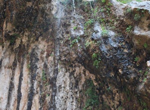
Weeping Rock
4.00.5 mi / 98 ft gainThis trail begins at the Weeping Rock parking lot. You must cross a stream on a bridge and then follow the trail to the left. The trail is nice and cool at the top and you may get some mist or water on you from the weeping rock. Perfect to cool you off after the steep trek up to the rock! It's ...Read more -
St. George, Utah
Hike to the Snow Canyon Petroglpyhs
3.81.8 mi / 200 ft gainThese are the coolest petroglyphs I have ever visited, but they are very difficult to find. They are located in Snow Canyon State Park; the parking is outside of the park and you enter the boundaries by crossing over a barbed wire fence. Bring a GPS if you have one because the petroglyphs are har...Read more -
Springdale, Utah
Hike Many Pools
4.62 miTo get there, drive about .8 miles east of the smaller tunnel on the Zion-Mt. Carmel highway. There will be a place to pull out and park on a large turn. Continue walking down the road about 150 yards east and cross the street before the next turn. There is no marked trail, but there should be a ...Read more -
St. George, Utah
Hike the Whiterocks Trail
1.75 mi / 400 ft gainThis trail starts from a parking area just off Route 18. Follow the obvious trail with the whiterocks to the right and views of Snow Canyon. The trail descend steep, deep sand path until you reach some petrified sand dunes. Great photo opportunities here. This section is short lived as you co...Read more

