Kanarraville, Utah
Looking for the best hiking in Kanarraville? We've got you covered with the top trails, trips, hiking, backpacking, camping and more around Kanarraville. The detailed guides, photos, and reviews are all submitted by the Outbound community.
Top Hiking Spots in and near Kanarraville
-
Hurricane, Utah
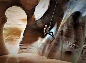
Canyoneering Pine Creek Canyon, Zion
1.5 mi / -300 ft gainDisclaimer: Canyoneering is a dangerous and technical activity. Don’t enter any canyon without the skills to match it, or the knowledge to navigate it. Pine Creek requires a canyoneering permit that can be reserved online and picked up at the Zion Visitor Center. Be sure to reserve your permit 3 ...Read more -
Springdale, Utah
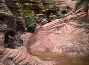
Hike Many Pools
4.62 miTo get there, drive about .8 miles east of the smaller tunnel on the Zion-Mt. Carmel highway. There will be a place to pull out and park on a large turn. Continue walking down the road about 150 yards east and cross the street before the next turn. There is no marked trail, but there should be a ...Read more -
Washington, Utah
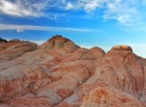
Camping at Yant Flat
5.02.6 mi / 500 ft gainThough only a few miles from civilization as a bird flies, this trailhead is only accessible via a dirt road (that can be quite bumpy - high clearance vehicles recommended though I did it in a car). Given the condition of the road, drive time can be 45 minutes from St George, Utah. The road is ...Read more -
Springdale, Utah
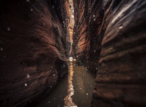
Canyoneering Keyhole Canyon
4.0Keyhole Canyon is an experience for the adventurous, thrill seeking explorer. Hidden between the jagged mountains of Zion National Park, this canyon sits roadside, just two miles from the east entrance. Before we continue, please note that Canyoneering is a dangerous sport. This canyon is not for...Read more -
Hurricane, Utah
Running Windmill Trail
8 miWindmill trail and trailhead sits just down the road from Gooseberry Mesa Trailhead in Apple Valley, Utah. Head out on this figure-8 loop for as long as you want. If you're smart, you'll bring your MTB, and you can ride the singletrack once you're done getting your run in.This is also a great spo...Read more -
Washington, Utah
Yant West Loop
4.03.44 mi / 709 ft gainYant West Loop is a loop trail that takes you past scenic surroundings located near Washington, Utah.Read more -
Orderville, Utah
East Rim Trail, Zion NP
5.010.19 mi / 3000 ft gainThe East Rim Trail is approximately 10-miles (one-way) and can either be started from the Eastern Entrance of Zion National Park, or more commonly from the Hidden Canyon or Observation Point Trailheads. Many people start from within Zion Canyon and do the arduous Observation Point Trail, forgoing...Read more -
Rockville, Utah
Camp off the Smithsonian Butte Backcountry Byway
5.09.5 mi / 800 ft gainSmithsonian Butte Backcountry Byway is gorgeous 9.5 mile road that runs between Rockville near the entrance to Zion National Park and Apple Valley UT, and affords excellent places to camp & boondock *as long* as it is 0.5 miles from the road itself (and there are numerous turn offs). To get ...Read more -
Cedar City, Utah
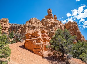
Hike the Hoodoo Loop Trail in Dixie National Forest
5.00.3 miHoodoo's are unique rock formations formed over many years by erosion. In this region, the hoodoos are formed through a process called frost wedging. This is the process of repeated freeze thaw cycles. As snow melts the water seeps between the cracks in the rocks then freezes at night when the...Read more -
Dammeron Valley, Utah
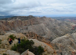
Snow Canyon Overlook via Red Mountain Trail
4.74.65 mi / 525 ft gainWhile the trail to the top is mediocre, the views once you get there are absolutely stunning, making for an amazing hike. The hike begins at the Red Mountain Trailhead, north of Snow Canyon State Park. This trail is very rock and sandy, without much variety in landscape along the way. During the...Read more -
St. George, Utah
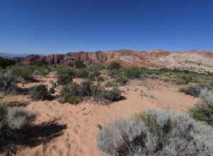
Hike the Whiterocks Trail
1.75 mi / 400 ft gainThis trail starts from a parking area just off Route 18. Follow the obvious trail with the whiterocks to the right and views of Snow Canyon. The trail descend steep, deep sand path until you reach some petrified sand dunes. Great photo opportunities here. This section is short lived as you co...Read more -
Duck Creek Village, Utah
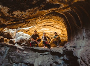
Explore the Mammoth Cave Lava Tubes
3.00.4 mi / 100 ft gainFrom the USFS website: "Mammoth Cave, at 8050 feet in elevation opens to one of the largest lava tubes in Utah with over 2200 feet of passages. Formed by cooling lava and flowing water, Mammoth Cave is part of the Markagunt Plateau. Geologists believe that some of this lava is only several thous...Read more -
Hurricane, Utah
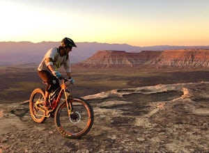
Camp at Little Creek Mesa
5.0Experience solitude and beauty at Little Creek Mesa Utah. When you get there, grab a campsite, and go for an evening mountain bike ride along the rim of the mesa and see breathtaking views of the valley below as the sun sets. Little Creek Mesa is located 22 miles from Hurricane, Utah and only 8 ...Read more -
St. George, Utah
Hike the Lava Flow Trail
5.01.5 mi / 400 ft gainFrom the parking area, the trail travel west directly into the lava field. This is evident by the sharp black rocks the trail travels through. Watch for the first lava tube on the left. All lava tubes have a steep short descent down in to explore a bit but the tubes are not deep and could be d...Read more -
Dammeron Valley, Utah
Hike to Three Ponds
3.0This relatively easy trail is great for the whole family. There are multiple alternate trails branching off from this route, as well, so you can turn this into a much longer hike if you like. Start on the Hidden Pinyon Trail, which has a well-marked turn-off for Three Ponds Trail. The start of th...Read more -
St. George, Utah
Hike to the Snow Canyon Petroglpyhs
3.81.8 mi / 200 ft gainThese are the coolest petroglyphs I have ever visited, but they are very difficult to find. They are located in Snow Canyon State Park; the parking is outside of the park and you enter the boundaries by crossing over a barbed wire fence. Bring a GPS if you have one because the petroglyphs are har...Read more

