Huntsville, Utah
Looking for the best photography in Huntsville? We've got you covered with the top trails, trips, hiking, backpacking, camping and more around Huntsville. The detailed guides, photos, and reviews are all submitted by the Outbound community.
Top Photography Spots in and near Huntsville
-
Salt Lake City, Utah
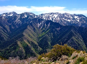
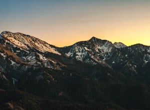
Grandeur Peak East Trail
4.45.97 mi / 2513 ft gainThis is the peak that can be seen from the valley located between Millcreek Canyon and Parleys Canyon. There are 2 trails that head up to this peak, but the one up Millcreek Canyon at the top of Church Fork is by far the more popular/enjoyable one (and the one described here). The other one heads...Read more -
Salt Lake City, Utah
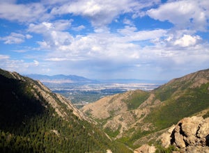
Salt Lake Overlook via Desolation Trail
4.14.76 mi / 1729 ft gainThis popular trail follows a portion of the Desolation Trail leaving from Mill Creek Canyon. The trail to the overlook is 4.75 miles round trip with a 1700 ft elevation gain. You begin at the Desolation Trailhead and then turn around once you have a view of the Salt Lake Valley. It is a perfect h...Read more -
Salt Lake County, Utah
Hike Thayne Canyon
6 mi / 2800 ft gainIf you want to avoid the crowds heading to the Salt Lake Overlook and are looking for a bigger challenge with better views, Thayne Canyon is the ticket. The trail is 6 miles roundtrip with 2,800 feet of elevation gain. It’s a great evening hike and the peak is a nice place to watch the sunset. Th...Read more -
Salt Lake City, Utah
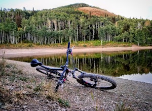
Mountain Bike Dog Lake, Millcreek Canyon
4.4 mi / 1260 ft gainIf it’s an even day and you’re in Salt Lake and you’re in possession of a mountain bike, put down your phone and spend the next 2 hours in pure bliss. Mountain bikers are only allowed to use the trails of upper Millcreek Canyon on even days, which makes for a busy route, but well worth it. This i...Read more -
Salt Lake City, Utah
Hike Mt. Aire
4.54 mi / 2000 ft gainMount Aire, standing around 8600 ft, certainly isn't the most inspiring peak in or around Salt Lake City, but to me it serves as a quick summit to catch the sunset when I'm short on time.Getting There:Start by heading up Mill Creek Canyon Rd. After passing the ranger booth, drive about 5.5 miles ...Read more -
Park City, Utah
Hike Fantasy Ridge to Desolation Peak from Canyons Village
5.06.5 mi / 2000 ft gainThe easiest way to start this hiking only trail is to jump on the Red Pine Gondola at the Canyons Village of Park City Mountain Resort. If you have an Epic Pass, the lift is free. Otherwise, you'll need to buy a ticket to ride to the base of Red Pine Lodge. From the base of Red Pine Lodge (8,000...Read more -
Park City, Utah
Hike Quarry Mountain in Park City
2.2 mi / 740 ft gainThe Quarry Mountain trail is a less-traveled option than the Iron Mountain trail in Park City offering unique views of McPolin Farm to the west, Kimball Junction and Old Ranch Road to the north, Park City to the south, and Promontory Ranch to the East. The trail starts at the McPolin Farm parking...Read more -
Park City, Utah
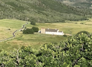
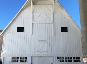
McPolin Barn
A historic farmstead, The McPolin Farmstead is north of Park City, Utah. A fun place to visit with the family. It has buildings constructed c.1921 and later, including a large dairy barn. The lovely trail, named after the farm is nearby to walk along.Read more -
Salt Lake City, Utah
Hike Neff's Canyon
4.3From the parking lot, you will follow a 4-wheel drive track that runs straight up to the beginning of the different trailheads. You can also take an actual trail up to that same spot, situated below the 4-wheel gravel track on the righthand side.There are a few different trails that merge togethe...Read more -
Salt Lake City, Utah
Hike to Big Cottonwood Canyon's Desolation Lake
4.67.4 mi / 1900 ft gainDrive 9 miles into Big Cottonwood Canyon and park at the Mill D North Trailhead (on the left). On the right side of the road, there is a restroom. The trial head begins on the left, there is a visible sign you cannot miss before beginning.The trail is about 7.4 miles round trip, about half way t...Read more -
Salt Lake City, Utah
Winter Backpack to Dog Lake and Backcountry Ski Reynolds Peak
4.55 mi / 1500 ft gainThe hike is considered moderate, but the 1500ft. elevation gain (2100ft. to Reynolds Peak) will definitely get your heart rate up. Snowshoes/skins are recommended but the trail is often packed enough to do without them.After crossing the street from the Spruces parking lot, follow the trail past...Read more -
Salt Lake City, Utah
Hike from Mill D to Desolation Peak
10 mi / 2500 ft gainLargely runnable trail up through pines and aspens with a few steep climbs. Incredible wildflowers. You can stop at Desolation Lake then continue up towards the ridge and up to Desolation Peak. You have to listen and watch for descending bikers coming fast around corners.Read more -
Brighton, Utah
Hike or Trail Run Butler Fork
5.07.2 mi / 1964 ft gainTo get to the trailhead, drive up Big Cottonwood Canyon 8 miles. The parking lot is on the left side of the road. The first half mile is the steepest of the whole trail so don't get too intimidated by it, it mellows out a lot after. You will come to fork in the trail about a mile in, you can eith...Read more -
Brighton, Utah
Backcountry Ski Butler Fork
2 miThe trail head for Butler Fork is 8 miles up Big Cottonwood Canyon on the left side of the road. Throw your gear on and head up the trail. Continue along the skin track and after about 20 minutes you'll come upon a fork in the trail. The right trail will take you up the East Fork towards Butler B...Read more

