Hanna, Utah
Looking for the best photography in Hanna? We've got you covered with the top trails, trips, hiking, backpacking, camping and more around Hanna. The detailed guides, photos, and reviews are all submitted by the Outbound community.
Top Photography Spots in and near Hanna
-
Kamas, Utah
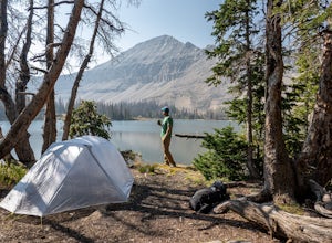
Camp at Fire Lake
The hike to Fire Lake starts at the Crystal Lake Trailhead just off the Mirror Lake Highway in the Uinta mountains. The main trailhead parking lot fills up quickly on weekends since it serves multiple trail options. If it’s full, no need to worry, there is an overflow lot down the road. The trai...Read more -
Kamas, Utah
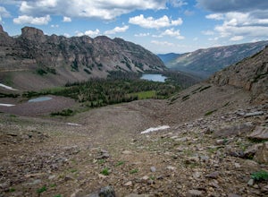
Ibantik Lake via Crystal Lake Trailhead
5.03.96 mi / 646 ft gainFrom the Crystal Lake trailhead, follow the trail 1.1 miles north to Wall Lake. Here, you'll come to a junction with the trail from Trail Lake; take the left trail heading north to Notch Mountain, and Ibantik Lake is a mere .6 miles northeast, nestled next to Notch Peak. At Ibantik Lake, you'll ...Read more -
Kamas, Utah
Duck Lake to Marjorie Lake Loop in the Uintas
8.4 mi / 850 ft gainThe trail to Duck Lake in the Uinta Mountains starts at the Crystal Lake Trailhead and is a popular starting off point for many trails like Cliff Lake, so the parking lot fills up quickly. Starting off, follow the signs for Long Lake. At about 1.3 miles you'll come to a junction. Follow the si...Read more -
Kamas, Utah
Hike to Island Lake
5.09 mi / 1000 ft gainThere are many lakes in this area, but Island Lake is the only one with epic cliff jumping. You can camp anywhere around the lake and campfires are permitted.The cliff is best to jump off mid summer when the water is the warmest, but it's always pretty cold. The cliffs are about 30-50 feet tall. ...Read more -
Kamas, Utah
Backpack to Island Lake
5.06 mi / 1000 ft gainYou begin at the Crystal Lake trailhead off of the Mirror Lake Highway. On the way to Island Lake you pass several other lakes including, Crystal Lake and Long Lake. The hike is not too hard but there are several switchbacks at the end to get you up above the ridge where the lake is located. It ...Read more -
Evanston, Utah
Backpack to Ryder Lake
4.718 mi / 2000 ft gainRyder Lake is accessed via the Stillwater Trail, beginning at the Christmas Meadows Trailhead off of Mirror Lake Highway. The trail heads due south from Christmas Meadows along the Stillwater River. It winds through lodgepole pine forests and skirts alpine meadows, gradually gaining elevation. A...Read more -
Evanston, Utah
Hike to Ostler Peak in the High Uintas
13.7 mi / 3935 ft gainHiking Ostler Peak in the High Uintas Wilderness is a serious challenge for anyone. Typically, this hike is done over 2-3 days, with an overnight at the beautiful Ostler Lake. Strong hikers can do this hike in one day, however, as long as you are prepared and know the route. The route up Ostler ...Read more -
Kamas, Utah
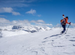
Backcountry Ski Mt. Watson in the Uinta Mountains
Mt. Watson is a beauty. It is one of the tallest peaks directly outside of the High Uintas Wilderness area and has a stunning East face that is very steep and littered with cliff bands. Many people hike around Mt. Watson in the summer, when the Mirror Lake Highway is open and the trailhead is eas...Read more -
Evanston, Utah
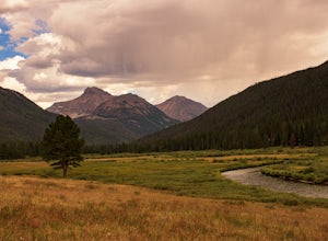
Camp at Christmas Meadows in the Uinta National Forest
Just four miles from the Mirror Lake Scenic Byway, this limited site campground is a great alternative to the larger, busier campgrounds at lower elevations. There are just 11 sites here, a few of which are first-come, first-serve. Amenities include picnic tables, campfire rings, vault toilets, d...Read more -
Evanston, Utah
Backpack Mount Beulah via East Fork of the Bear River Trailhead
5.018 mi / 3423 ft gainGetting thereThis trip could be crammed into a really long day or even two days, but give yourself three days to really enjoy the area and not be too pressed for time.Your departure point is the East Fork of the Bear River Trailhead on the north slope of the Uintah Mountains. For most, this will ...Read more -
Evanston, Utah
Hike to Tokewanna Peak in the High Uintas
17 mi / 4202 ft gainClimbing all of Utah's 13ers is nota popular trend, yet. Most people seek out Colorado's 14ers for their summit height, but don't let Utah's 13ers be overshadowed by their neighbors to the East. Utah's 13ers are remote. The closest 13er to a road is Tokewanna which comes in around 17-18 miles rou...Read more -
Kamas, Utah
Hike to Round, Sand, and Fish Lake in the Uinta Mountains
9 mi / 2000 ft gainThe Dry Fork Trailhead at the end of Weber Canyon Rd is the starting point for the hike to Round, Sand, and Fish Lakes in the Uinta Mountains of Utah. In the early spring and summer, this trail can be wet due to snowmelt runoff, but by mid-summer, it dries out and is a fantastic hike. The trail i...Read more -
Evanston, Utah
Camping and Skiing at Lily Lake
When driving to the trailhead you must go through Evanston Wyoming to get there. The trailhead is located near the Bear River Lodge off the Mirror Lake Highway (UT 150).The Lily Lake area in the Uintas is full of snowy landscapes waiting to be explored on skis, snowshoes, or even a snowmobile. Yo...Read more -
Evanston, Utah
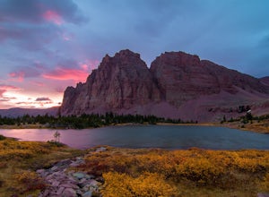
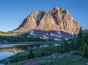
Red Castle and Red Castle Lakes
4.623.13 mi / 2149 ft gainThe Red Castle is a stunning formation of crumbling red rock that rises around several small lakes, high in the Uinta Mountains. The trail begins at the China Meadows Trailhead. From there, it heads south for about 8 miles, winding through lodgepole pine forests and skirting vast alpine meadows, ...Read more -
Evanston, Utah
Backpack to Red Caslte Lake and Mt. Wilson
27 mi / 4200 ft gainUtah's 13ers are generally overshadowed by their 14er neighbors to the east, but do not be fooled, Utah's 13ers require a tremendous amount of effort to summit. The closest 13er to a road, Tokewanna, is about 18 miles round trip. The farthest 13er peaks are more than 30 miles round trip. These pe...Read more -
Evanston, Utah
Kings Peak
4.828.56 mi / 5213 ft gainFrom the Henry Fork Trailhead (approx. 9400 feet elev.) the trail gains very little elevation during the first 5.5 miles with several lakes to camp by along the way. The first lake reached is Alligator Lake. At just under 3 miles from the trailhead, this beautiful lake is an excellent choice for ...Read more

