Grand County, Utah
Looking for the best photography in Grand County? We've got you covered with the top trails, trips, hiking, backpacking, camping and more around Grand County. The detailed guides, photos, and reviews are all submitted by the Outbound community.
Top Photography Spots in and near Grand County
-
Moab, Utah
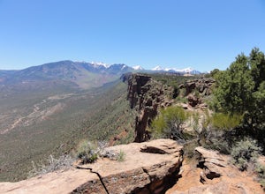
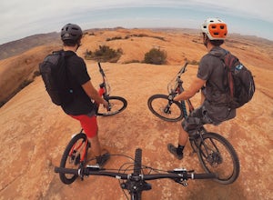
Mountain Bike Moab's Porcupine Rim
5.015 mi / 1000 ft gainThis ride is one of the most popular in Moab, let alone the state of Utah. With that said, you probably won't have the trail to yourself so be sure to take time to hangout at the best vista points and chat with the other riders. Although the shuttles try to stagger the drop-offs, there will be ri...Read more -
Moab, Utah
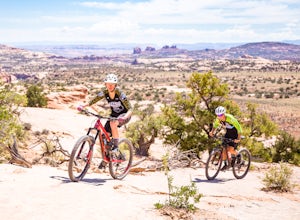
Bike the Ramblin' Trail
3.3 mi / 200 ft gainThe Ramblin' Trail, part of the Navajo Rocks trail system, is a beginner to intermediate mountain biking trail with a great mix of slickrock, dirt trails, and some sand that features excellent views of hoodoos, Navajo Sandstone, and the general Colorado River watershed redrock. Located off Utah H...Read more -
Moab, Utah
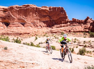
Bike the Big Mesa Trail
3.3 mi / 400 ft gainBig Mesa trail is the jewel of the Navajo Rocks trail system, containing all of the awesome mountain biking features one comes to expect in Moab, from slickrock to sand chutes with epic views of the terrain. Located off Utah Highway 313 at the Navajo Rocks Trailhead parking lot, 19 miles from dow...Read more -
Lone Mesa Group Gampground Road, Utah
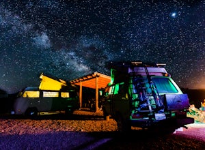
Camp at Lone Mesa Campground
Lone Mesa Campground off Utah Highway 313, 8 miles from Highway 191, and 20 miles from Moab serves as an excellent basecamp for accessing the fantastic Navajo Rocks mountain bike trail system, Dead Horse State Park, and Canyonlands National Park. In fact, the Big Mesa trail goes right through the...Read more -
Moab, Utah
Ride the Slick Rock Mountain Bike Trail
5.010.7 mi / 819 ft gainThe Slick Rock mountain bike trail is a great trail option for all skill levels looking to get a taste of what Moab has to offer. The trail is unique in that it is almost entirely on rock, with only a few patches of sand and mud scattered throughout the 10 mile loop. The trail is easy to follow d...Read more -
Moab, Utah
Drive Fins & Things
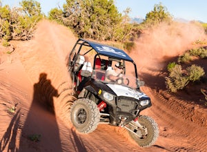
5.09.4 mi / 900 ft gainFins & Things is a 9.4 mile classic Moab ATV / 4WD trail rated 5 by the Red Rock Four-Wheelers. It is steep, has great traction, some fantastic slalom cutes and of course, glorious views of the Moab redrock scenery. The one-way trail is broken into three sections and begins at campsite E-6 in...Read more -
Moab, Utah
Camp at Sand Flats Recreation Area in Moab
3.0The rock domes and slickrock around the campsites provide fun for young and old to scramble on, or simply enjoy the sunrise or sunset. Located just outside of the town of Moab Utah is the Sand Flats Recreation Area. The area is managed jointly by the Bureau of Land Management and Grand County Uta...Read more -
Mack, Colorado
Mountain Bike in the Rabbit Valley Area
13 mi / 1200 ft gainThis area is one of my favorites. Rabbit Valley is a great place with all kinds of activities available. Mainly we mountain bike here, but we have hiked and explored the canyons as well. There are traces of Native Americans that lived in the area hundreds of years ago, even a small arch too.From ...Read more -
Moab, Utah
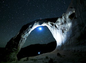
Night Photography at Corona Arch
5.03 miFirst and foremost: Don't attempt to climb the arch at night. It's potentially unsafe and the BLM has banned roped activities meaning that you would have to go ropeless. Save this activity for the daytime or avoid it altogether. This is a quick 1.5 mile one-way hike to the arch. The trail is well...Read more -
Green River, Utah
Explore a Manmade Geyser in Utah
3.0Four and a half miles from the town of Green River, Utah, Crystal Geyser is one of the few manmade geysers as a result of the area's historical mining industry. This cold-water geyser usually erupts every eight to 20 hours. Getting There Getting to the geyser is easy and the site can be accessed ...Read more -
Mack, Colorado
Hike the Trail Through Time Paleontological Trail
1.5 miThe trail is adjacent to an active dinosaur quarry, and while there were no scientists at work while we were there, apparently you can see paleontologists at work in the spring and summer.Take the interpretive trail up towards the small mesa and check out the signs pointing out fossils along the ...Read more -
Moab, Utah
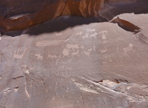
Visit the Potash Road Petroglyphs
4.4Just north of Moab driving out on route 191, look for Potash Road, also known as route 279 just after the Colorado River. Turn left on Potash road and and drive five miles south. You will see a paved pull-out on the Colorado River side of the road with a sign for the petroglyphs. The rock art i...Read more -
Moab, Utah
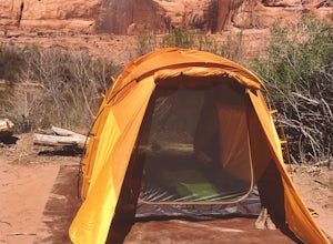
Camp at King's Bottom
4.0Kane Creek is a massive canyon, with the Colorado river at it's feet and red cliffs towering on either side. There are numerous trail heads and campgrounds the farther you explore into the canyon. However, these sites fill up fast. The canyon restricts camping to only designated sites, capping th...Read more -
Moab, Utah
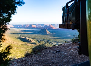
Camp at Porcupine Rim Campground
5.0Porcupine Rim Campground, just inside the Manti-La Sal National Forest, is a fantastic dispersed campsite (with bathrooms) that overlooks the hills and mesas of Castle Valley some 2000' feet below. Most are familiar with the area due to the famous Porcupine Pine Rim mountain biking trail, but the...Read more -
Moab, Utah
Camp at Williams Bottom Campground in Moab
4.0Williams Bottom Campground and its 17 first-come first-serve campsites are tucked into the side of the Colorado River Canyon on Utah Highway 279 aka "Potash Road" just 15 minutes from downtown Moab. It is commonly known as one of *the* rock climbing campground on the west side of Moab, as there a...Read more -
Moab, Utah
Visit the Poison Spider Petroglyphs
4.30.5 mi / 250 ft gainNot many people visit this petroglyph site because of the steep access trail. From the Poison Spider parking lot, walk the trail that leads to the slab with an obvious dinosaur track highlighted when people put plaster in the track to make a mold. This, of course, is prohibited. Work your way up...Read more

