Fruita Campground, Utah
Top Spots in and near Fruita Campground
-
38.089236,-111.343124, Utah
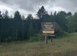
Camp at Oak Creek Campground
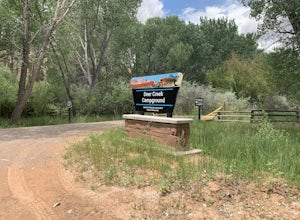
This campground is extremely easy to get to and is in a good location. It is located in the Dixie National Forest along Utah highway 12. The campground has a total of 9 spots most are good for small RV but nothing longer than 20ft. The campground has no electricity or water hookups but a water sp...Read more -
Cathedral Road, Utah
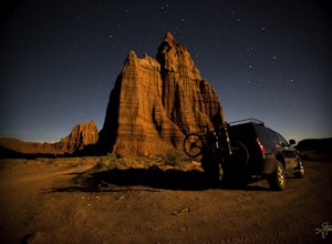
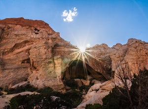
Camp and see the Temple of the Sun in Cathedral Valley
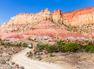
5.03 miCathedral Valley is a scenic backcountry area in Capitol Reef National Park. It is a remote, stark desert, characterized by amazingly beautiful sandstone monoliths that some say resemble cathedrals. Many of the valleys structures have interesting, highly descriptive names: Temple of the Sun, Temp...Read more -
Boulder, Utah
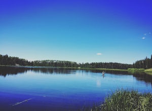
Camp and Fish Deer Creek Lake
2.7 mi / 702 ft gainThere is something magical about Deer Creek Lake. The views are amazing, the hike is revitalizing, and the mountain air speaks to your soul. Stars seem to shine brighter here than any other trip you will go on. Out here, it is you and the wild. You will be able to see fish colored with bright cut...Read more -
Torrey, Utah
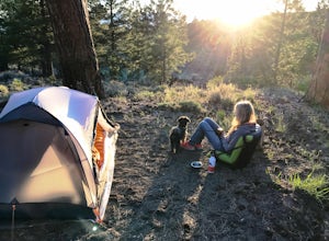
Camp at McMillan Springs In The Henry Mountains
McMillan Springs Campground is south of Hanksville, Utah and within the Henry Mountains, which run north and south between Canyonlands, and Capitol Reef National Parks. Situated at 8,400 feet, McMillan Springs Campground has moderate temperatures and is managed by the BLM, so fees are donation b...Read more -
Garfield County, Utah
Hike Mount Ellen in Utah's Henry Mountains
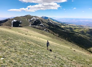
4.04 mi / 1091 ft gainMount Ellen is considered an Ultra Prominent Peak. What's that you may ask? Well, Ultra Prominent Peaks are determined by how high the summit rises above its surroundings. Rising 5,812 feet above the desert floor with a summit elevation of 11,527 feet, Mount Ellen is the third most prominent peak...Read more -
Boulder, Utah
Drive the Burr Trail Scenic Backway
5.066.2 mi / 4124 ft gainThe Burr Trail is a 66 miles mostly-paved road connecting Boulder, Utah / Highway 12 with the Notom-Bullfrog road that passes through some of the most scenic (and largely untouched) painted-rock backcountry in three of our national parks/monuments including Grand Staircase-Escalante, Capitol Reef...Read more -
Boulder, Utah
Backpack Death Hollow in Grand Staircase-Escalante
22 mi / 1600 ft gainThe most popular route into Death Hollow is from the Boulder airstrip near the town of Boulder, Utah. The trailhead for the Boulder Mail Trail begins, or ends here depending on which way you are hiking. Leave a car at the Highway 12 bridge over the Escalante River for the thru hike, or get luck...Read more -
Boulder, Utah
Camp at Deer Creek Campground
5.0Deer Creek campground is off of the Burr Scenic drive and right outside of the lower part of Capitol Reef National Park. This campground is perfect if you are driving from Bryce Canyon to Capitol Reef. There are a total of 7 tent sites in the campground. There are no spots for RVs and no turn aro...Read more -
Boulder, Utah
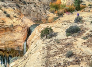
Upper Calf Creek Falls
5.01.76 mi / 571 ft gainFinding the trailhead for the Upper Calf Creek Falls can be a little difficult. Head east out of Escalante and follow highway 12 for about 20.6 miles. There will be a dirt turnout on the left hand side that leads to a dirt parking lot and a trail sign with registration for the Upper Calf Creek Fa...Read more -
Garfield County, Utah
Hike in the Upper Muley Twist Canyon
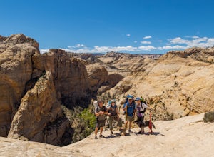
4.510 mi / 750 ft gainThis hike is by far my favorite trail I've been on. To begin, you access Upper Muley Twist Canyon Road from the top of the Burr Trail Road switchbacks. Regular vehicles can be driven a little less than half a mile to the trailhead (adding about 3 miles to get to the trailhead, about 6 miles round...Read more -
Green River, Utah
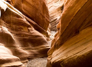
Hiking Little Wild Horse Canyon & Bell Canyon Loop
4.58.03 mi / 794 ft gainThe Little Wild Horse Canyon/Bell Canyon loop hike is a classic southern Utah experience. Little Wild Horse Canyon is the better of the two canyons, so if you can only do part of the hike do Little Wild Horse. If you're doing a loop of both, save the best for last and go up Bell Canyon and down L...Read more -
Boulder, Utah
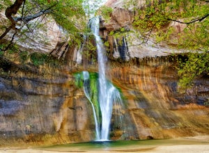
Lower Calf Creek Falls
4.65.74 mi / 515 ft gainThe trailhead for lower calf creek falls begins at the Calf Creek Campground. There is a small fee to park in the campground and a larger fee if you plan on camping in the campground. There is potable water and outhouses at the trailhead but parking can be difficult to find during the spring and ...Read more -
Green River, Utah
Exploring Goblin Valley
4.5Goblin Valley Can entertain you for 1 hour or 10. There are no established trails, so you are free to wander around the entire park. There are cliffs to climb, slot canyons to explore and hoodoos to discover. From the parking area, you descend about 100 feet into the valley. Once you are down the...Read more -
Green River, Utah
Camp at Goblin Valley
3.8Goblin Valley State Park is in a rural section of southern Utah, but if you type it into Google Maps you will go straight there. There are awesome campsites within the park but they require reservations. If you didn't take the time to reserve a campsite, don't worry, there is plenty of BLM land r...Read more -
Green River, Utah
Hike to Goblin's Lair and Carmel Canyon
4.53.18 mi / 433 ft gainThis beautiful, isolated hike also makes for a flexible route – very few places in Goblin Valley are off limits, allowing you to customize the adventure as much as you please. The hike begins on a rapidly descending trail, heading into the heart of Goblin Valley State Park. After a quarter mile ...Read more -
Boulder, Utah
Escalante Natural Bridge
5.03.25 mi / 266 ft gainThis is a 3.2 mile hike in the Escalante River Canyon near Escalante, Utah. This hike features a number of brief river crossings, so be prepared to get wet! The hike traverses a number of small boulder fields and dense riverside vegetation before concluding at the Escalante Natural Bridge. This h...Read more

