Evanston, Utah
Top Spots in and near Evanston
-
Kamas, Utah
Camp up Murdock Basin Road
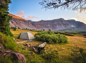
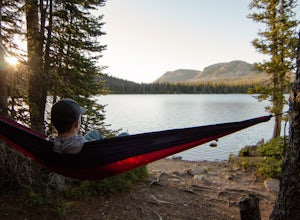
4.0Murdock Basin Road is located about 22 miles up Mirror Lake Highway (UT-150) from Kamas, UT. After turning right onto Murdock Basin Rd, you'll cross a bridge over the Provo River and then it's onto the dirt road. Sites are scattered on the left and right (I suggest the left side spots) with plent...Read more -
Evanston, Utah
Kings Peak
4.828.56 mi / 5213 ft gainFrom the Henry Fork Trailhead (approx. 9400 feet elev.) the trail gains very little elevation during the first 5.5 miles with several lakes to camp by along the way. The first lake reached is Alligator Lake. At just under 3 miles from the trailhead, this beautiful lake is an excellent choice for ...Read more -
Hanna, Utah
Explore Grandaddy Basin
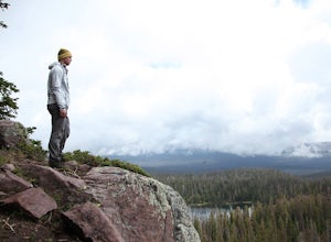
5.0Grandaddy Lake is the largest lake in the High Unitas. While Grandaddy Lake can have plenty of hikers, there are over twenty lakes within a two-hour hike within the Grandaddy Basin. Most hikers don’t go beyond Grandaddy lake, making the area a fantastic area to explore and camp. Elevation in the ...Read more -
Kamas, Utah
Backcountry Ski Mt. Watson in the Uinta Mountains
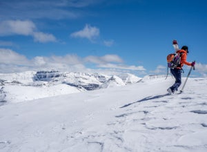
Mt. Watson is a beauty. It is one of the tallest peaks directly outside of the High Uintas Wilderness area and has a stunning East face that is very steep and littered with cliff bands. Many people hike around Mt. Watson in the summer, when the Mirror Lake Highway is open and the trailhead is eas...Read more -
Kamas, Utah
Explore the Mirror Lake Scenic Byway
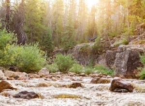
4.7Mirror Lake Scenic Byway is breathtaking. There is lots to take in via longer trips, but with numerous viewpoints, lakes, and the Provo River just off the main highway, the drive through alone is well worth it.There is SO much to do in the Uintas, with activities ranging from lakeside picnics to ...Read more -
Kamas, Utah
Hike Riley's Canyon
5 mi / 200 ft gainAproximately two miles Southeast of Woodland, UT on Highway 35 you will come to a small turnout on the North side of the road. It is sufficient in size for a handful of vehicles to park, so that passengers can make their way into Riley's Canyon. From the turn off, look to the North and you will s...Read more -
Peoa, Utah
Camp at the Rockport State Park Yurts
The yurts at Rockport are a great way to get out into nature. You can chose between yurts or cabins. Yurts cost $70 a night and cabins cost $80 a night. Spots will have to be secured with reservations in advance. You can find more information at http://rockportmarina.checkfront.com/reserve/. Ther...Read more -
Coalville, Utah
Camp at Echo Reservoir
5.0This scenic reservoir provides you with the opportunity to spend the day on the water. To get here, drive around 45 minutes from Park City toward Coalville. Get off for the exit and take a left once in town; drive along this road until you see the campground entrance on your left.Overnight passes...Read more -
Croydon, Utah
Whitewater Kayaking the Weber River
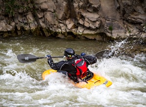
4.0This is a great beginner river for whitewater kayaking, with rapids from class II-III. It has plenty of features to keep you entertained, such as the Rock Garden, old bridges, and Taggart Falls, with several class II rapids in between. Be aware, there is a low bridge at one point in the river tha...Read more -
Park City, Utah
Mountain Bike Deer Valley, Park City
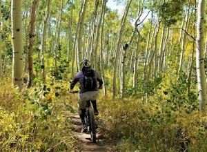
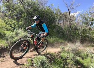
5.07 mi / 1200 ft gainIf you’re a downhill bomber, you came to the right place. The resort has lift-served singletrack of every difficulty with machine-built table tops, berms, tree runs and technical obstacles. If cross country is more your scene, there are miles of forested climbs, beautiful views and enjoyable down...Read more -
Park City, Utah
Run the Historic Park City Union Pacific Rail Trail
28 mi / 800 ft gainThe Park City Rail Trail is a fantastic trail for walks, running, and biking in the spring, summer, and fall. During the winter it's groomed so you can Nordic ski, fat bike, run or walk. Park City's historic Union Pacific Rail Trail has been paved from Bonanza Drive in Park City all the way out ...Read more -
Park City, Utah
Park City Mountain Ski Resort Trail
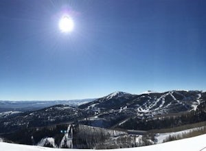
18.24 mi / 3468 ft gainPark City Mountain Ski Resort Trail is a loop trail where you may see beautiful wildflowers located near Park City, Utah.Read more -
Park City, Utah
Hike Quarry Mountain in Park City
2.2 mi / 740 ft gainThe Quarry Mountain trail is a less-traveled option than the Iron Mountain trail in Park City offering unique views of McPolin Farm to the west, Kimball Junction and Old Ranch Road to the north, Park City to the south, and Promontory Ranch to the East. The trail starts at the McPolin Farm parking...Read more -
Park City, Utah
McPolin Barn
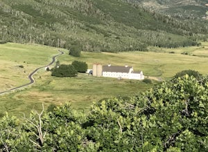
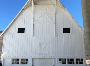
A historic farmstead, The McPolin Farmstead is north of Park City, Utah. A fun place to visit with the family. It has buildings constructed c.1921 and later, including a large dairy barn. The lovely trail, named after the farm is nearby to walk along.Read more -
Park City, Utah
Hike Past Mining Relics in Daly Canyon
4.02.5 mi / 500 ft gainTo get to Daly Canyon, just continue up Main Street in Park City. The road turns to dirt soon after the last house and a gate is closed across the road not far beyond that. Hiking, biking, or jogging up the old road you'll have the stream to your left and about a 1/4 mile up you'll see the old J...Read more -
Park City, Utah
Bike or Hike Park City's Mid Mountain Trail
5.022.8 mi / 4457 ft gainThe Mid-Mountain Trail is unique to Park City. It's an epic trail that connects Deer Valley, to Park City Mountain Resort, and Canyons Village. Traversing at approximately 8,300 feet elevation, the trail is comprised of 13 sections and is a 22.8 mile point-to-point ride from Deer Valley to Canyon...Read more

