Elberta, Utah
Looking for the best hiking in Elberta? We've got you covered with the top trails, trips, hiking, backpacking, camping and more around Elberta. The detailed guides, photos, and reviews are all submitted by the Outbound community.
Top Hiking Spots in and near Elberta
-
Brighton, Utah
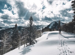
Backcountry Ski Butler Fork
2 miThe trail head for Butler Fork is 8 miles up Big Cottonwood Canyon on the left side of the road. Throw your gear on and head up the trail. Continue along the skin track and after about 20 minutes you'll come upon a fork in the trail. The right trail will take you up the East Fork towards Butler B...Read more -
Salt Lake City, Utah
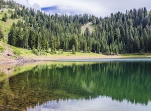
Hike to Big Cottonwood Canyon's Desolation Lake
4.67.4 mi / 1900 ft gainDrive 9 miles into Big Cottonwood Canyon and park at the Mill D North Trailhead (on the left). On the right side of the road, there is a restroom. The trial head begins on the left, there is a visible sign you cannot miss before beginning.The trail is about 7.4 miles round trip, about half way t...Read more -
Salt Lake City, Utah
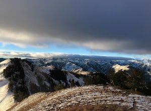
Hike from Mill D to Desolation Peak
10 mi / 2500 ft gainLargely runnable trail up through pines and aspens with a few steep climbs. Incredible wildflowers. You can stop at Desolation Lake then continue up towards the ridge and up to Desolation Peak. You have to listen and watch for descending bikers coming fast around corners.Read more -
Salt Lake City, Utah
Hike Neff's Canyon
4.3From the parking lot, you will follow a 4-wheel drive track that runs straight up to the beginning of the different trailheads. You can also take an actual trail up to that same spot, situated below the 4-wheel gravel track on the righthand side.There are a few different trails that merge togethe...Read more -
Park City, Utah
Hike Empire Pass Ridge
3.25 mi / 800 ft gainStarting at an elevation of 8,960 feet at Empire Pass, the trail follows the ridge to the west. It starts off on a gravel road, but quickly turns into a single-track trail once you pass the buried water tank. For the most part, you will stay on the ridge and have great views of Clayton Peak, Deer...Read more

