Duck Creek Village, Utah
Top Spots in and near Duck Creek Village
-
Hurricane, Utah
Hike the Historic Babylon - Little Purgatory Loop
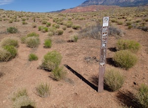
6 mi / 1000 ft gainThe trailhead has space for about three or four cars. Watch for an obvious gap in the cliffs very close to the trailhead, this is where you should park. Just before exiting the gap, look to the left for some interesting petroglyphs. The trail follows a dry wash through some heavy vegetation for a...Read more -
Henrieville, Utah
Cottonwood Canyon Road
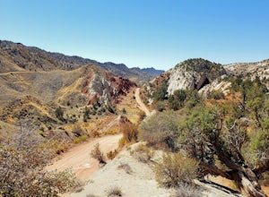
38.66 mi / 2192 ft gainCottonwood Canyon Road is a point-to-point trail that takes you by a river located near Cannonville, Utah.Read more -
Henrieville, Utah
Angel's Palace Trail
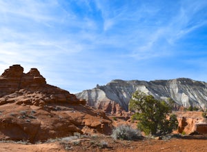
5.0Kodachrome Basin State Park is located about 9 miles south of Cannonville which is on Highway 12 - midway between Bryce Canyon National Park and Escalante Petrified Forest State Park. It is slightly out of the way, but well worth the detour.Angel's Palace Trail is an excellent option if you have ...Read more -
Hurricane, Utah
Red Cliffs Recreation Nature Trail
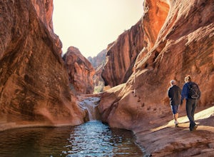
4.51.39 mi / 266 ft gainHike along streams that run through red sandstone - the blue water makes a fun contrast against the red rocks and sand. To get to the trailhead, drive to the Red Cliffs Campground about 20 minutes north of St. George. There is a small fee to park or camp at the campground. This trail starts in ...Read more -
Pine Valley, Utah
Whipple Trail
11.56 mi / 3133 ft gainWhipple Trail is an 11.6-mile out-and-back hike. You'll hike switchbacks and climb elevation to a valley in the Pine Valley Mountains. With the distance and elevation gain, this can be a challenging hike. For the first 2 miles, you climb close to 900 ft in elevation, but it’s absolutely stunnin...Read more -
Kanab, Utah
Explore Pahreah Ghost Town
5.0Pahreah was a townsite established along the Escalante River in 1870's. The town grew to include a general store, church, and enough homes to house 47 families at its peak. Due to the close proximity to the Escalante River, the town was flooded every year from 1883 to 1888, washing away crops and...Read more -
Washington, Utah
Camping at Yant Flat
5.02.6 mi / 500 ft gainThough only a few miles from civilization as a bird flies, this trailhead is only accessible via a dirt road (that can be quite bumpy - high clearance vehicles recommended though I did it in a car). Given the condition of the road, drive time can be 45 minutes from St George, Utah. The road is ...Read more -
Washington, Utah
Yant West Loop
4.03.44 mi / 709 ft gainYant West Loop is a loop trail that takes you past scenic surroundings located near Washington, Utah.Read more -
Kanab, Utah
Hike Buckskin Gulch, Vermillion Cliffs Wilderness
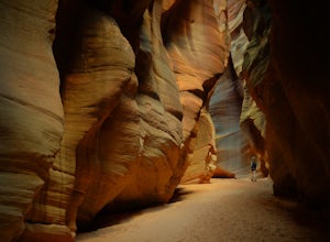
4.615 miBuckskin Gulch is a natural wonder. At 15 miles long it is the longest slot canyon in the world. It sometimes is as narrow as 2ft. Because of the nature of this canyon and Utah topography this canyon is subject to deadly flash flood if it rains anywhere along the headwaters. Be sure to check in w...Read more -
Kanab, Utah
The Wave via Coyote Buttes North
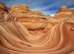
5.05.41 mi / 755 ft gainThe hike to the Wave is 2.5 miles (one-way). When you arrive, take in the sandstone showing incredible striations of red, orange, pink, yellow, and beige. Please note that this adventure is only accessible by obtaining a permit. Only 20 visitors are allowed access per day with 10 permits given on...Read more -
Kanab, Utah
Wire Pass Slot Canyon
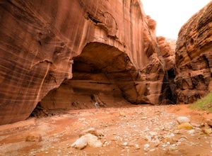
4.63.75 mi / 325 ft gainWire Pass is a hike through a scenic slot canyon that is often overlooked due to its close proximity to the very famous Wave. Unlike the "Wave" a permit is not required to make the hike, only a day use fee at the trailhead. Be sure to check local weather for rainfall and please do not go on this ...Read more -
Kane County, Utah
Hike to Grosvenor Arch
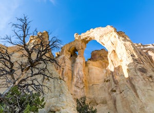
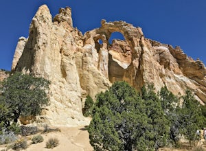
5.01.16 mi / 285 ft gainGrosvenor Arch is a sandstone double arch located in Grand Staircase-Escalante National Monument. The arch is named after Gilbert Hovey Grosvenor, a president of the National Geographic Society. To reach the arch, park in the trailhead parking lot off Last Chance Creek Road. The arches are vis...Read more -
Kane County, Utah
Grosvenor Arch Trail
0.25 mi / 46 ft gainGrosvenor Arch trail is an out-and-back trail where you may see beautiful wildflowers located near Kanab, Utah.Read more -
Marble Canyon, Utah
Hike the Buckskin Mountain Passage from Stateline Campground on the Arizona Trail
8 mi / 1400 ft gainDepending how you approach this 800 mile trail, I did the first 4 miles or last 4 miles as an out and back from Stateline Campground on the Utah/Arizona state line and the border of Vermilion Cliffs National Monument. This section of the trail does not pass through Vermilion Cliffs N.M. b...Read more

