Cottonwood Heights, Utah
Looking for the best photography in Cottonwood Heights? We've got you covered with the top trails, trips, hiking, backpacking, camping and more around Cottonwood Heights. The detailed guides, photos, and reviews are all submitted by the Outbound community.
Top Photography Spots in and near Cottonwood Heights
-
Kamas, Utah
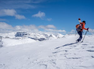
Backcountry Ski Mt. Watson in the Uinta Mountains
Mt. Watson is a beauty. It is one of the tallest peaks directly outside of the High Uintas Wilderness area and has a stunning East face that is very steep and littered with cliff bands. Many people hike around Mt. Watson in the summer, when the Mirror Lake Highway is open and the trailhead is eas...Read more -
Ogden, Utah
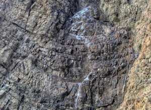
Waterfall Canyon
4.02.44 mi / 1394 ft gainWaterfall Canyon is one of the most popular hikes in the Ogden area. The trailhead is easy to find, just head east on 29th street until you hit the base of the mountains and the parking lot is on the right. There are plenty of parking spots and restrooms but sometimes the restrooms are locked. T...Read more -
Ogden, Utah
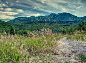
Hike the Wheeler Creek and Icebox Canyon Loop
4 mi / 400 ft gainTo get to the trailhead from Ogden drive up Ogden Canyon toward Pine View Reservoir. Right when the canyon begins to open up and you can see the actual dam there is a turn off on the south side of the road that leads down a dirt road to a very small parking area and the trailhead. If the parking ...Read more -
Kamas, Utah
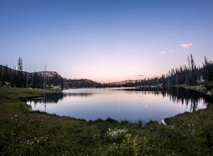
Hike to Island Lake
5.09 mi / 1000 ft gainThere are many lakes in this area, but Island Lake is the only one with epic cliff jumping. You can camp anywhere around the lake and campfires are permitted.The cliff is best to jump off mid summer when the water is the warmest, but it's always pretty cold. The cliffs are about 30-50 feet tall. ...Read more -
Kamas, Utah
Backpack to Island Lake
5.06 mi / 1000 ft gainYou begin at the Crystal Lake trailhead off of the Mirror Lake Highway. On the way to Island Lake you pass several other lakes including, Crystal Lake and Long Lake. The hike is not too hard but there are several switchbacks at the end to get you up above the ridge where the lake is located. It ...Read more -
Kamas, Utah
Hike to Round, Sand, and Fish Lake in the Uinta Mountains
9 mi / 2000 ft gainThe Dry Fork Trailhead at the end of Weber Canyon Rd is the starting point for the hike to Round, Sand, and Fish Lakes in the Uinta Mountains of Utah. In the early spring and summer, this trail can be wet due to snowmelt runoff, but by mid-summer, it dries out and is a fantastic hike. The trail i...Read more -
Kamas, Utah
Camp at Shallow Lake Meadow
Located 1.5 hours from Salt Lake Cityand just 1 hour from Park City this mountain meadow is a great placeto take your next adventure! Getting there was a piece of cake, theroad is mainly paved then turns to lava...I mean gravel for the lastmile. Along the road are several already established camp...Read more -
Kamas, Utah
Duck Lake to Marjorie Lake Loop in the Uintas
8.4 mi / 850 ft gainThe trail to Duck Lake in the Uinta Mountains starts at the Crystal Lake Trailhead and is a popular starting off point for many trails like Cliff Lake, so the parking lot fills up quickly. Starting off, follow the signs for Long Lake. At about 1.3 miles you'll come to a junction. Follow the si...Read more -
Kamas, Utah
Ibantik Lake via Crystal Lake Trailhead
5.03.96 mi / 646 ft gainFrom the Crystal Lake trailhead, follow the trail 1.1 miles north to Wall Lake. Here, you'll come to a junction with the trail from Trail Lake; take the left trail heading north to Notch Mountain, and Ibantik Lake is a mere .6 miles northeast, nestled next to Notch Peak. At Ibantik Lake, you'll ...Read more -
Kamas, Utah
Hike to Weir Lake
5 mi / 800 ft gainWeir Lake is one of many mountain lakes located in the High Uintas near Kamas, Utah. The trail can be accessed off the Mirror Lake Scenic Byway about 33 miles east of Kamas and starts at the Crystal Lake Trailhead. There is a parking lot near the start of the trailhead, but expect it to be fairly...Read more -
Kamas, Utah
Camp and Climb at Cliff Lake
4.3 miCliff Lake can be located from the Crystal Lake Trailhead. The exact location is pinned, but you get there driving from Kamas. From Kamas take the Mirror Lake Highway and take the exit for Trial Lake Campground, the turn north to the Crystal Lakes Trailhead. There is a parking lot with bathrooms ...Read more -
Kamas, Utah
Camp at Fire Lake
The hike to Fire Lake starts at the Crystal Lake Trailhead just off the Mirror Lake Highway in the Uinta mountains. The main trailhead parking lot fills up quickly on weekends since it serves multiple trail options. If it’s full, no need to worry, there is an overflow lot down the road. The trai...Read more -
Wasatch County, Utah
Hike Little Deer Creek to Cataract Gorge
4.04 miLittle Deer Creek Canyon can be accessed from the Emerald Lake Highway (150) in the Uinta National Forest east of Kamas, Utah. Turn right onto Murdoch Basin Road (Forest Service Road 137) until it splits off to the road to Cataract Gorge (Forest Service Road 027). It is recommended you park her...Read more -
18899-19003 U.S. Highway 89, Utah
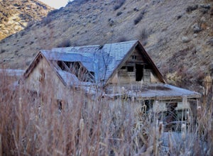
Visit the Flooded Thistle Ghost Town
3.0Thistle, Utah was a small community located in Spanish Fork Canyon, founded in 1883. It flourished for a time as a ranching community and eventually became a major stop on the rail line that ran through it. This all changed in 1983 when a massive landslide dammed the Spanish Fork River and floode...Read more -
Payson, Utah
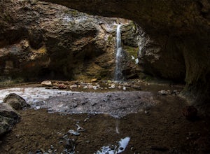
Grotto Falls
4.00.54 mi / 144 ft gainHeading in the canyon you will drive along a winding road for a while until you pass through a gate (Closed during Winter, this is where you will need to pull over and continue down the road on foot) about a mile up you will see a trailhead on the left called "Bennie Creek" and right after you wi...Read more -
Kamas, Utah
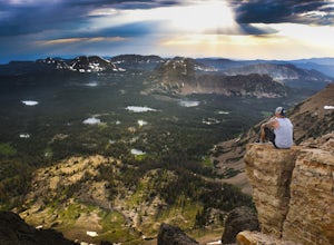
Photograph Bald Mountain in Utah
Bald Mountain is a 12,000' peak in the Uintas, and of the most popular hikes in the Uinta Mountains of Utah. If you're looking for more details on the hike, check out the adventure Hike Bald Mountain in the Uintas. Not only is it incredible to photograph from the top, with panoramic views of doze...Read more

