Coalville, Utah
Looking for the best hiking in Coalville? We've got you covered with the top trails, trips, hiking, backpacking, camping and more around Coalville. The detailed guides, photos, and reviews are all submitted by the Outbound community.
Top Hiking Spots in and near Coalville
-
Brighton, Utah
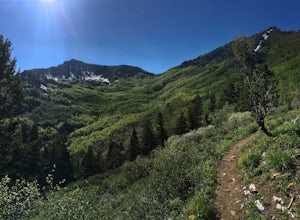
Hike or Trail Run Butler Fork
5.07.2 mi / 1964 ft gainTo get to the trailhead, drive up Big Cottonwood Canyon 8 miles. The parking lot is on the left side of the road. The first half mile is the steepest of the whole trail so don't get too intimidated by it, it mellows out a lot after. You will come to fork in the trail about a mile in, you can eith...Read more -
Brighton, Utah
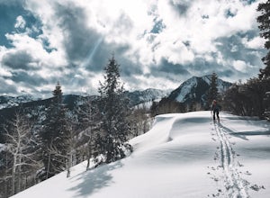
Backcountry Ski Butler Fork
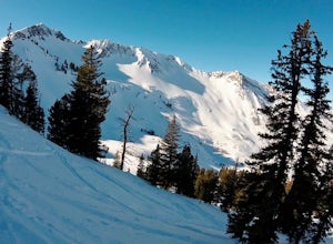
2 miThe trail head for Butler Fork is 8 miles up Big Cottonwood Canyon on the left side of the road. Throw your gear on and head up the trail. Continue along the skin track and after about 20 minutes you'll come upon a fork in the trail. The right trail will take you up the East Fork towards Butler B...Read more -
Salt Lake City, Utah
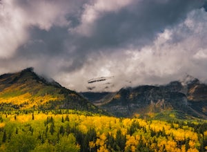
Photograph Guardsman Pass & The Alpine Loop
5.0Since this is a loop you can start at either end, but this is the way we did it. Start driving up Big Cottonwood Canyon. Enjoy the views and take in the impressive peaks on either side of the road. See the changes in vegetation as you gain elevation in the canyon. As you near the top and pass Sol...Read more -
Bountiful, Utah
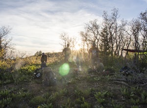
Backpack to Rudy's Flat
4.07 miRudy's Flat is a great overnight hike with plenty of tent or hammock space and multiple established fire rings. This hike offers multiple options for distance depending on your availability and skill level.From the Mueller Park Canyon trailhead (5,234 ft), hikers will experience a gradual ascent ...Read more -
Bountiful, Utah
Trail Run to Elephant Rock
4.47 mi / 1025 ft gainMueller Park is a beautiful, quaint canyon, with some sweeping up canyon views throughout the ascent. The trail is a fun, family friendly single track from the bridge all the way to the rock. You will pass a bald strip (pipeline) that runs North to South which marks about halfway to the rock. At ...Read more -
Salt Lake City, Utah
Hike Cardiff Fork
8 mi / 2880 ft gainCardiff Fork and Donut Falls share the same parking lot, so depending on what time of week you go exploring here, it may be the most packed parking in all of the Wasatch. Head up on a weekday for less crowds. The Cardiff Fork trailhead is follows the rocky jeep road around the parking lot to the...Read more -
Salt Lake City, Utah
Donut Falls
4.11.53 mi / 413 ft gainThe Trail Follow the trail for just a little bit and when it forks, stay to the left and you will arrive to Donut Falls. Once at the waterfall, climb up the rocks to get to the cave at the top, which is not visible from the bottom. To take pictures inside of the cave, you will most likely get yo...Read more -
Salt Lake City, Utah
Kessler Peak in Utah's Big Cottonwood Canyon
4.74.66 mi / 2733 ft gainKessler Peak is a 10,403-foot peak located in Big Cottonwood Canyon. From the top, you can see all the way to the Uintas to the East, The tram at Snowbird to the south, and the Salt Lake Valley to the west. To the north is Mount Raymond and Gobblers Knob. Kessler Peak is the terminus and highes...Read more -
Salt Lake City, Utah
Snowshoe to Cardiff Mine
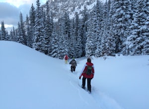
7 mi / 1500 ft gainThe trail starts from the same trailhead as Donut Falls which is extremely popular. In the winter, the gates are closed and you need to park just off the highway. Follow the road and crowds along the trail but once you cross the bridge continue straight ahead instead of following the trail that c...Read more -
Salt Lake City, Utah
Backcountry Ski Cardiff Fork
4 miDrive up Big Cottonwood Canyon until you reach the Mill D South parking lot (aka Donut Falls parking). Head up the main road until you reach the bathrooms at the Donut Falls trailhead. Here you can either keep straight past the bathrooms, but the best way to go is to keep right along the road. Yo...Read more -
Salt Lake City, Utah
Salt Lake Overlook via Desolation Trail
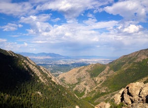
4.14.76 mi / 1729 ft gainThis popular trail follows a portion of the Desolation Trail leaving from Mill Creek Canyon. The trail to the overlook is 4.75 miles round trip with a 1700 ft elevation gain. You begin at the Desolation Trailhead and then turn around once you have a view of the Salt Lake Valley. It is a perfect h...Read more -
Salt Lake County, Utah
Hike Thayne Canyon
6 mi / 2800 ft gainIf you want to avoid the crowds heading to the Salt Lake Overlook and are looking for a bigger challenge with better views, Thayne Canyon is the ticket. The trail is 6 miles roundtrip with 2,800 feet of elevation gain. It’s a great evening hike and the peak is a nice place to watch the sunset. Th...Read more -
Salt Lake City, Utah
Grandeur Peak East Trail
4.45.97 mi / 2513 ft gainThis is the peak that can be seen from the valley located between Millcreek Canyon and Parleys Canyon. There are 2 trails that head up to this peak, but the one up Millcreek Canyon at the top of Church Fork is by far the more popular/enjoyable one (and the one described here). The other one heads...Read more -
Brighton, Utah
Photograph Star Trails at Silver Lake
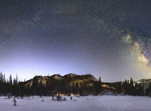
1 miSilver Lake is one of the easiest, most accessible hikes in the Wasatch, located at the top of Big Cottonwood Canyon, Utah, close to the ski resorts of Brighton and Solitude.The lake is accessible all year; with a boardwalk or a well-signed path circling the lake through spring to fall. In the wi...Read more -
Brighton, Utah
Hike and Camp at the Twin Lakes Reservoir
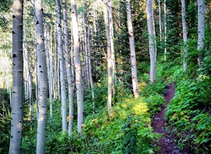
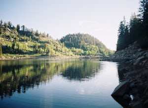
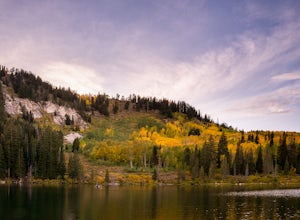
5 mi / 650 ft gainThe trailhead begins at the Solitude Nordic Center. Walking around Silver Lake, you get a chance to observe the ducks and lovely wetlands area. This trail then leads you into the lower aspens, and if you are hiking just as fall colors have begun to emerge, they create a glowing effect in the wood...Read more -
Salt Lake City, Utah
Silver Lake
3.80.94 mi / 49 ft gainThis quick hike to a beautiful lake in the Wasatch Mountains is perfect for the whole family. Park at the visitor center at the Silver Lake Recreation Area near Brighton Ski Resort, pick up a trail map and walk behind the building to find the trailhead. You can also pick up a wildflower guide at ...Read more

