Castle Valley, Utah
Looking for the best hiking in Castle Valley? We've got you covered with the top trails, trips, hiking, backpacking, camping and more around Castle Valley. The detailed guides, photos, and reviews are all submitted by the Outbound community.
Top Hiking Spots in and near Castle Valley
-
Moab, Utah
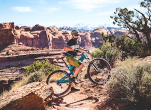
Mountain Bike Amasa Back / Cliffhanger Trail
9.1 mi / 1410 ft gainAmasa Back / Cliffhanger is the primary entry point into one of the most fantastic mountain biking trail networks in the Moab area, connecting into Captain Ahab, Rockstacker, HyMasa, and Jacksons Trails. To get there take Kane Creek Blvd. from Moab into Kane Springs Creek Canyon. The road will qu...Read more -
Moab, Utah
Mountain Bike HyMasa Trail
3.2 mi / 755 ft gainHyMasa trail is the latest in the fantastic Kane Creek Mountain Biking trail network and is now the preferred route for connecting to the iconic Captain Ahab Loop, allowing riders to bypass larges portions of the Amasa Back / Cliffhanger Jeep trail. To get there take Kane Creek Blvd. from Moab in...Read more -
Cisco, Utah
Off Road to the Top of The World
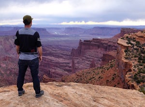
13.2 mi / 2000 ft gainThe off road trail called Top of the World is a dirt road meant for *OFF ROAD VEHICLES ONLY*. All wheel drives jeeps and trucks are most common on this route but it is frequented by ATV and Dirt Bike users as well. If you elect to hike this route be mindful of their presence and give off-road veh...Read more -
Moab, Utah
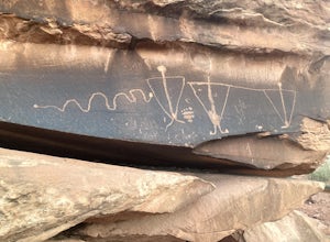
View the Petroglyphs at Birthing Rock
5.00.1 mi / 0 ft gainThis roadside boulder is just a short ride down a dirt road from Moab. From the McDonalds in Moab, head west down Kane Creek Drive. You will pass a few BLM and private campgrounds as well as various trailheads. The road will eventually become graded dirt. Follow the road until you see an obvi...Read more -
Moab, Utah
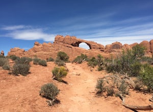
Skyline Arch
0.48 mi / 62 ft gainStarting from the parking you can see the arch. At the start of the trail there is a small sign with information about Skyline Arch. From here the trail is very straightforward and leads you up to the base of the arch. This hike may be short but it still gives you great views over Salt Valley and...Read more -
Moab, Utah
Camp in Hunters Canyon
5.02 miMoab has become an increasingly popular adventure destination over the last few years. Its proximity to Arches and Canyonlands National Parks make it a popular spot for beginning day hikers as well as seasoned canyoneers, bikers, and climbers. It comes as no surprise that it can be a hassle to fi...Read more -
Moab, Utah
Hike Hunters Canyon
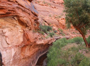
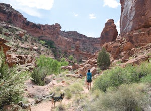
5.03 mi / 164 ft gainThe hike into Hunters Canyon is extremely easy going. You can do the hike year round, but the further into summer you are, the hotter the canyon will be. This is a great beginner hike as it has very little elevation gain. It's also perfect for dogs, thanks to the stream that allows for frequent ...Read more -
Moab, Utah
Rock Climb Dragonfly Canyon
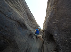
5 mi / 400 ft gainThis canyon is a bit more advanced as it requires a mandatory swim and most likely a section of wet pot holes to surmount which, if dry, can also pose their own challenge. You will need standard canyoneering gear as well as two 60m ropes for the last rappel. Start by parking on a small pullout on...Read more -
Moab, Utah
Pine Tree Arch
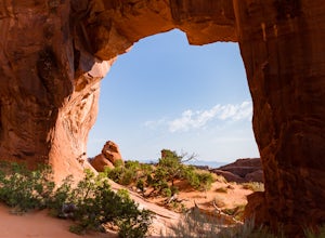
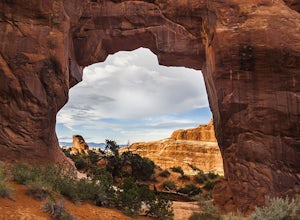
3.01.03 mi / 56 ft gainPine Tree Arch is one of several gorgeous arches in the Devil's Garden Area of Arches National Park, and is easily done as a quick detour on the way to the popular Landscape Arch. It is accessed from the Devil's Garden Trailhead, itself approximately 18 miles from the park entrance. From the Tra...Read more -
Moab, Utah
Navajo Arch via Devils Garden Trailhead
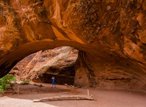
4.32.91 mi / 377 ft gainIn order to get to Navajo Arch, you will have to hike through Devils Garden Trailhead. The hike is relatively easy until you pass Landscape Arch. After that, the trail steadily climbs and you will find yourself scrambling and climbing up slickrock fins. You can stop and admire other well-known ar...Read more -
Moab, Utah
Double O Arch
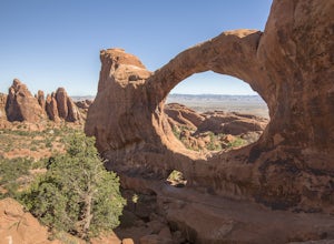
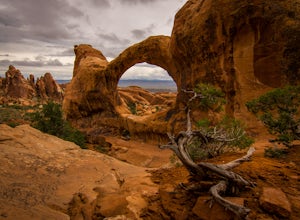
4.64.09 mi / 390 ft gainStarting at the Devil's Garden Trailhead, this 4.1-mile looped moderate hike features flat sandy paths to narrow sandstone slabs with narrow ledges. The best time to complete this hike is early in the morning. Getting to the Devil's Garden Trailhead at sunrise will almost definitely guarantee you...Read more -
Grand County, Utah
Devils Garden Primitive Loop
4.95.01 mi / 0 ft gainThis adventure begins at Devils Garden, which is a hotspot in Arches National Park. Most people take the shorter route to see Landscape Arch and then turn around, but the Primitive Loop, while challenging at times, is completely worth it. Starting from Landscape Arch, the loop will take you to se...Read more -
Grand County, Utah
Landscape Arch
2.8Landscape Arch is considered the longest natural arch in the world, and it doesn't take too much effort to experience and see. This arch is on a trail the is part of a larger loop called "Devil's Garden" and during the summer it lives up to its name, easily topping 100 degrees, the beautiful sand...Read more -
Grand County, Utah
Partition Arch
4.52.88 mi / 364 ft gainHiking to Partition Arch begins at Devils Garden Trailhead which is at the end of the 16 mile Arches Scenic Drive road. Make sure to get to the trailhead early for 2 reasons: beating crowds and beating the heat. Arriving at sunrise will almost guarantee you a parking spot. Budget 2-3 hours round...Read more -
Monticello, Utah
Camp at the Ledges Camping Area off of Kane Creek Road
5.0The turn off for Kane Creek Rd. is directly before the McDonald's on the right side of the road. A right turn takes you through small residential area and then places you on a dirt road continuing into the canyon. The road narrows a bit, switch backs, and becomes slightly rougher. Follow Kane Cr...Read more -
Moab, Utah
Climb Mount Tukuhnikivatz
6 mi / 2200 ft gainFrom the parking area at La Sal Pass, follow a well defined but unmapped trail though meadow, brief forest, and then switchbacks up the prominent ridge just east of the summit ridge of Mt Tuk. Once on the ridge bear west (climbers left) along the ridge as it narrows. Depending on conditions the r...Read more

