Canyonlands, Utah
Top Spots in and near Canyonlands
-
Moab, Utah
Drive Chicken Corners
5.0From Moab, take Kane Creek Blvd out of town towards the beginning of the trailhead at the Kane Creek Recreation Parking Lot. From there, the trail is pretty much the only route available. The drive follows along a very smooth dirt road for the first six miles. Here, take a right to follow towards...Read more -
Moab, Utah
Drive Hurrah Pass
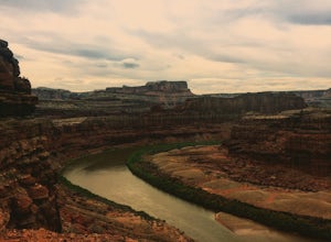
5.0Hurrah Pass is a 19.5 mile out and back trail/road that leads from the Colorado River Canyon through Kane Creek Canyon and up to Hurrah Pass at 4,780'. While technically considered a 4x4 trail once you begin your ascent out of Kane Creek Canyon, this can be done with a high clearance 2wd vehicle ...Read more -
Moab, Utah
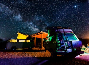
Camp at Williams Bottom Campground in Moab
4.0Williams Bottom Campground and its 17 first-come first-serve campsites are tucked into the side of the Colorado River Canyon on Utah Highway 279 aka "Potash Road" just 15 minutes from downtown Moab. It is commonly known as one of *the* rock climbing campground on the west side of Moab, as there a...Read more -
Monticello, Utah
Explore the Newspaper Rock Ancient Petroglyphs
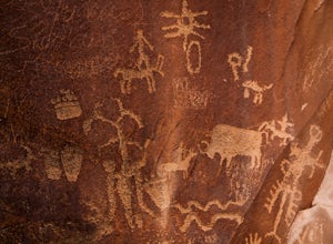
4.7After leaving Moab, turn off Highway 191 on to 211. The drive will wind over the mesa tops and down into red rock canyon country. Enjoy the changing seasons whether the red cliffs are covered in snow or spring desert flowers are blooming.Watch for cattle as this is open range country. Also watch ...Read more -
Moab, Utah
Visit the Potash Road Petroglyphs
4.4Just north of Moab driving out on route 191, look for Potash Road, also known as route 279 just after the Colorado River. Turn left on Potash road and and drive five miles south. You will see a paved pull-out on the Colorado River side of the road with a sign for the petroglyphs. The rock art i...Read more -
Moab, Utah
Camp at King's Bottom
4.0Kane Creek is a massive canyon, with the Colorado river at it's feet and red cliffs towering on either side. There are numerous trail heads and campgrounds the farther you explore into the canyon. However, these sites fill up fast. The canyon restricts camping to only designated sites, capping th...Read more -
Monticello, Utah
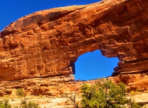
Explore Looking Glass Arch
4.0Getting there:From Moab, follow Highway 191 south for about 23 miles until you get to Looking Glass Road/Co. Rd. 131. Take a right and follow the road for about 2 miles and then turn left into the parking lot.It is only about 0.10 miles from the parking lot to the arch itself, but there is a ~150...Read more -
Moab, Utah
Corona Arch Trail
4.72.32 mi / 525 ft gainThis is an easy 2.3-mile hike to an amazing arch in Moab that ISN'T in Arches National Park. If you have every seen any “arch swing” videos this is where its done! Hangout under this massive arch without much of a crowd. This should only take a couple of hours round trip depending on hiking speed...Read more -
Moab, Utah
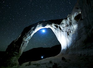
Night Photography at Corona Arch
5.03 miFirst and foremost: Don't attempt to climb the arch at night. It's potentially unsafe and the BLM has banned roped activities meaning that you would have to go ropeless. Save this activity for the daytime or avoid it altogether. This is a quick 1.5 mile one-way hike to the arch. The trail is well...Read more -
Moab, Utah
Hike to Jeep Arch
4.04 mi / 1015 ft gainJeep arch is located up the very scenic Culvert Canyon just outside Moab, UT. When coming into Moab from the north turn right onto UT 279/Potash Road and drive about 10.2 miles along side the Colorado river. You will come up to a pull out area on the right side of the road, near a large culvert u...Read more -
Lone Mesa Group Gampground Road, Utah
Camp at Lone Mesa Campground
Lone Mesa Campground off Utah Highway 313, 8 miles from Highway 191, and 20 miles from Moab serves as an excellent basecamp for accessing the fantastic Navajo Rocks mountain bike trail system, Dead Horse State Park, and Canyonlands National Park. In fact, the Big Mesa trail goes right through the...Read more -
Moab, Utah
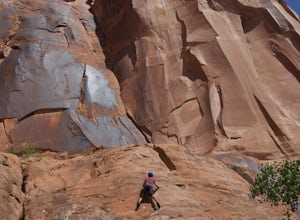
Rock Climbing Moab's Wall Street
4.4Moab's Wall Street is exactly what it sounds like, but nothing like the "Wall Street" you're familiar with. Several miles off Highway 279, it hugs the Colorado River on one side and a towering 500ft sandstone wall littered with climbing routes on the other. There is easy access to all of the clim...Read more -
Moab, Utah
Mountain Bike Portal Trail
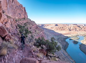
2 mi / 1388 ft gainIf you are looking to ride one of Moab's famed mountain bike trails, then look no further than the Portal Trail. It's a short 2-mile trail that starts on the rim above the Colorado River and descends 1,388. To access the Portal Trail you can take a shuttle from town to the top of the Magnificent...Read more -
Moab, Utah
Bike the Big Mesa Trail
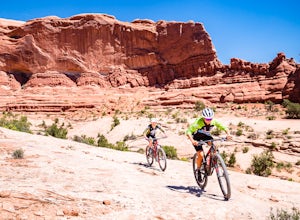
3.3 mi / 400 ft gainBig Mesa trail is the jewel of the Navajo Rocks trail system, containing all of the awesome mountain biking features one comes to expect in Moab, from slickrock to sand chutes with epic views of the terrain. Located off Utah Highway 313 at the Navajo Rocks Trailhead parking lot, 19 miles from dow...Read more -
Moab, Utah
Bike the Ramblin' Trail
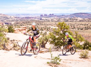
3.3 mi / 200 ft gainThe Ramblin' Trail, part of the Navajo Rocks trail system, is a beginner to intermediate mountain biking trail with a great mix of slickrock, dirt trails, and some sand that features excellent views of hoodoos, Navajo Sandstone, and the general Colorado River watershed redrock. Located off Utah H...Read more -
Moab, Utah
Hiking to Wilson Arch
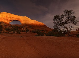
4.3To get to Wilson Arch, drive south of Moab on US-191 S for about 25 miles. The arch is right off US-191S and there is parking on either side of the highway. Keep an eye out after you pass the LaSal Junction - the arch is visible from the road.From the parking lot there is a a very short (~0.5 mil...Read more

