Brighton, Utah
Top Spots in and near Brighton
-
Salt Lake City, Utah
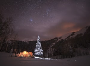
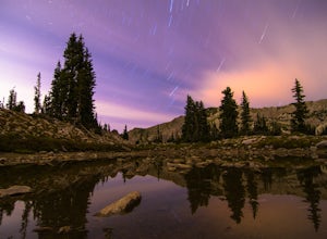
Winter Backpack to Dog Lake and Backcountry Ski Reynolds Peak
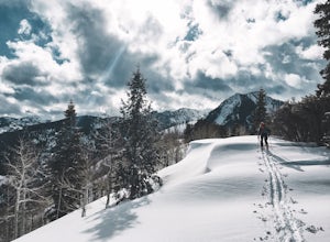
4.55 mi / 1500 ft gainThe hike is considered moderate, but the 1500ft. elevation gain (2100ft. to Reynolds Peak) will definitely get your heart rate up. Snowshoes/skins are recommended but the trail is often packed enough to do without them.After crossing the street from the Spruces parking lot, follow the trail past...Read more -
Salt Lake City, Utah
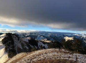
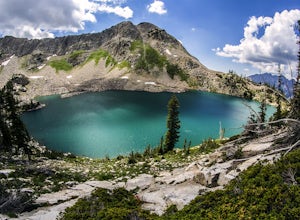
Hike from Mill D to Desolation Peak
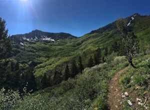
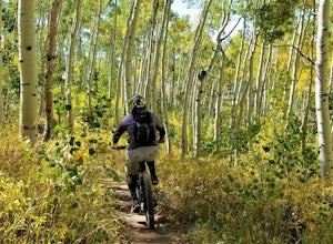
10 mi / 2500 ft gainLargely runnable trail up through pines and aspens with a few steep climbs. Incredible wildflowers. You can stop at Desolation Lake then continue up towards the ridge and up to Desolation Peak. You have to listen and watch for descending bikers coming fast around corners.Read more -
Park City, Utah
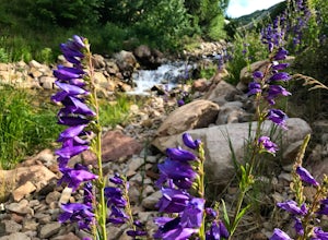
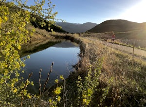
Hike Past Mining Relics in Daly Canyon
4.02.5 mi / 500 ft gainTo get to Daly Canyon, just continue up Main Street in Park City. The road turns to dirt soon after the last house and a gate is closed across the road not far beyond that. Hiking, biking, or jogging up the old road you'll have the stream to your left and about a 1/4 mile up you'll see the old J...Read more -
Park City, Utah
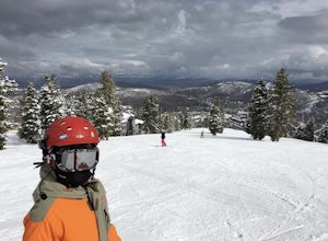
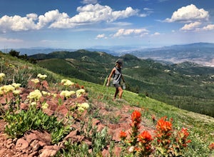
Deer Valley Resort
5.07.51 mi / 1161 ft gainDeer Valley Resort is a loop trail where you may see local wildlife located near Park City, Utah.Read more -
Park City, Utah
Bike or Hike Park City's Mid Mountain Trail
5.022.8 mi / 4457 ft gainThe Mid-Mountain Trail is unique to Park City. It's an epic trail that connects Deer Valley, to Park City Mountain Resort, and Canyons Village. Traversing at approximately 8,300 feet elevation, the trail is comprised of 13 sections and is a 22.8 mile point-to-point ride from Deer Valley to Canyon...Read more -
Park City, Utah
Park City Mountain Ski Resort Trail
18.24 mi / 3468 ft gainPark City Mountain Ski Resort Trail is a loop trail where you may see beautiful wildflowers located near Park City, Utah.Read more -
Brighton, Utah
Hike or Trail Run Butler Fork
5.07.2 mi / 1964 ft gainTo get to the trailhead, drive up Big Cottonwood Canyon 8 miles. The parking lot is on the left side of the road. The first half mile is the steepest of the whole trail so don't get too intimidated by it, it mellows out a lot after. You will come to fork in the trail about a mile in, you can eith...Read more -
Brighton, Utah
Backcountry Ski Butler Fork
2 miThe trail head for Butler Fork is 8 miles up Big Cottonwood Canyon on the left side of the road. Throw your gear on and head up the trail. Continue along the skin track and after about 20 minutes you'll come upon a fork in the trail. The right trail will take you up the East Fork towards Butler B...Read more -
Sandy, Utah
Red Pine Lake Trail
5.06.94 mi / 1995 ft gainRed Pine Lake, located in Red Pine Fork of the Wasatch Mountains, is one of the premier hiking and backpacking destinations in Little Cottonwood Canyon. Red Pine Fork is sandwiched in between White Pine Fork and Maybird Gulch to the east and west, respectively. All three are accessed via the Whit...Read more -
Sandy, Utah
White Pine Lake
4.59.97 mi / 2917 ft gainJust about 5 miles (2-2.5 hrs) from the trailhead, you will find the beautiful White Pine Lake where the water is an intense blue color. It's an amazing place for photos and just hanging out on a summer or fall afternoon. Along the way you will have great views of mountains of all colors, beautif...Read more -
Park City, Utah
Run the Historic Park City Union Pacific Rail Trail
28 mi / 800 ft gainThe Park City Rail Trail is a fantastic trail for walks, running, and biking in the spring, summer, and fall. During the winter it's groomed so you can Nordic ski, fat bike, run or walk. Park City's historic Union Pacific Rail Trail has been paved from Bonanza Drive in Park City all the way out ...Read more -
Park City, Utah
Hike Fantasy Ridge to Desolation Peak from Canyons Village
5.06.5 mi / 2000 ft gainThe easiest way to start this hiking only trail is to jump on the Red Pine Gondola at the Canyons Village of Park City Mountain Resort. If you have an Epic Pass, the lift is free. Otherwise, you'll need to buy a ticket to ride to the base of Red Pine Lodge. From the base of Red Pine Lodge (8,000...Read more -
Park City, Utah
McPolin Barn
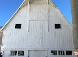
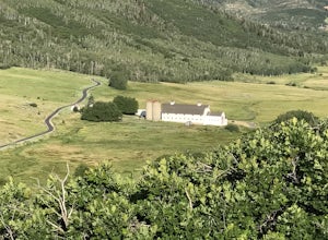
A historic farmstead, The McPolin Farmstead is north of Park City, Utah. A fun place to visit with the family. It has buildings constructed c.1921 and later, including a large dairy barn. The lovely trail, named after the farm is nearby to walk along.Read more -
Park City, Utah
Hike Quarry Mountain in Park City
2.2 mi / 740 ft gainThe Quarry Mountain trail is a less-traveled option than the Iron Mountain trail in Park City offering unique views of McPolin Farm to the west, Kimball Junction and Old Ranch Road to the north, Park City to the south, and Promontory Ranch to the East. The trail starts at the McPolin Farm parking...Read more -
Park City, Utah
Mountain Bike Deer Valley, Park City
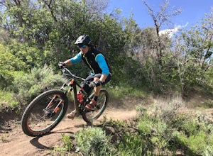
5.07 mi / 1200 ft gainIf you’re a downhill bomber, you came to the right place. The resort has lift-served singletrack of every difficulty with machine-built table tops, berms, tree runs and technical obstacles. If cross country is more your scene, there are miles of forested climbs, beautiful views and enjoyable down...Read more -
Salt Lake City, Utah
Hike the Mineral Fork Trail
4.09.3 mi / 3500 ft gainThe trailhead begins along Big Cottonwood Canyon Road, with a relatively small parking lot at the trailhead. Starting early in the day is advised, as on nice summer days it will fill up quickly. The trail has a steady ascent for the first 2 miles starting around 6700' through aspen forests and cr...Read more

