Boulder, Utah
Top Spots in and near Boulder
-
Torrey, Utah
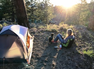
Camp at McMillan Springs In The Henry Mountains
McMillan Springs Campground is south of Hanksville, Utah and within the Henry Mountains, which run north and south between Canyonlands, and Capitol Reef National Parks. Situated at 8,400 feet, McMillan Springs Campground has moderate temperatures and is managed by the BLM, so fees are donation b...Read more -
Kane County, Utah
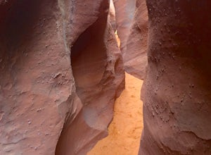
Peek-a-Boo and Spooky Canyons
4.75.44 mi / 584 ft gainThis hike is located in the Grand-Staircase-Escalante Monument and the nearest town is Escalante, Utah. From Escalante, you take Hole-in-the-Rock Road 26 miles to the Dry Fork road turn-off. The Hole-in-the-Rock road It is a dirt road, and while I did see some sedans and minivans, I suggest a veh...Read more -
Garfield County, Utah
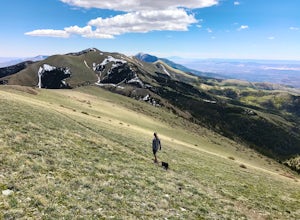
Hike Mount Ellen in Utah's Henry Mountains
4.04 mi / 1091 ft gainMount Ellen is considered an Ultra Prominent Peak. What's that you may ask? Well, Ultra Prominent Peaks are determined by how high the summit rises above its surroundings. Rising 5,812 feet above the desert floor with a summit elevation of 11,527 feet, Mount Ellen is the third most prominent peak...Read more -
Wayne County, Utah
Hike Lower Cathedral Valley Overlook
2 mi / 150 ft gainNow most of the pictures you see from Capitol Reef are from cathedral valley. But not many take the time to get above the most photographed area of the park. Off of Hartnet Road, at mile 17.6 you will find a small dirt parking lot for the trailhead (were talking middle of nowhere, so no pit toile...Read more -
Wayne County, Utah
Drive the Cathedral Valley Loop
60 miThese set of roads are classified as 4x4 high clearance vehical roads. Not to mention this part of the park is remote and only about 10% of visitors access it. To get to Cathedral Valley, we were recommended to drive a “loop” by the park ranger, that entailed about 60 miles of high clearance dirt...Read more -
Kane County, Utah
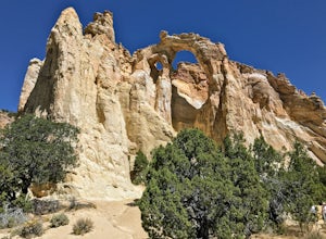
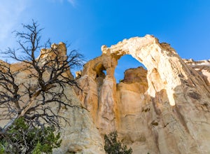
Grosvenor Arch Trail
0.25 mi / 46 ft gainGrosvenor Arch trail is an out-and-back trail where you may see beautiful wildflowers located near Kanab, Utah.Read more -
Kane County, Utah
Hike to Grosvenor Arch
5.01.16 mi / 285 ft gainGrosvenor Arch is a sandstone double arch located in Grand Staircase-Escalante National Monument. The arch is named after Gilbert Hovey Grosvenor, a president of the National Geographic Society. To reach the arch, park in the trailhead parking lot off Last Chance Creek Road. The arches are vis...Read more -
Wayne County, Utah
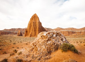
Explore the Temple of the Sun & Moon and Glass Mountain
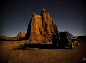
The temple of the sun and moon are accessed from Cathedral Rd. in Capitol Reef National Park, the road is a 4x4 high clearance vehical road. Upon arriving at the Temples which are called “monoliths”, the giant rocks protrude from the earth, and are something like a fine piece of art. This is a po...Read more -
Henrieville, Utah
Angel's Palace Trail
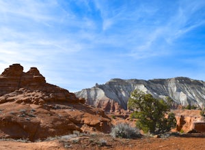
5.0Kodachrome Basin State Park is located about 9 miles south of Cannonville which is on Highway 12 - midway between Bryce Canyon National Park and Escalante Petrified Forest State Park. It is slightly out of the way, but well worth the detour.Angel's Palace Trail is an excellent option if you have ...Read more -
Tropic, Utah
Hike Mossy Cave in Bryce Canyon
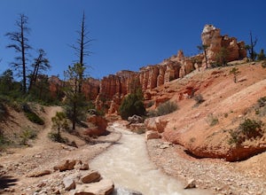
3.31 miThis short hike cannot be reached from the main area of Bryce Canyon, but with a 15 minute drive from the main entrance you can access this less crowded portion of the park. Check out a park map for the directions. This is very family-friendly, and is actually more of a "walk" than a "hike."It is...Read more -
Tropic, Utah
Hike the Tropic Ditch Trail
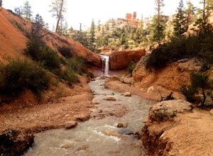
5.02 miFrom the Mossy Cave trailhead, follow the wide easy trail along the Tropic Ditch stream for .35 miles. At that point, the trail splits. To the left is Mossy Cave and to the right is Water Canyon Falls. The trail is lined with beautiful colored cliffs and hoodoos that Bryce Canyon is famous for. T...Read more -
Tropic, Utah
Mossy Cave Turret Arch and Little Windows Trail
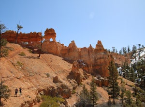
5.01.06 mi / 341 ft gainMossy Cave Turret Arch and Little Windows Trail is an out-and-back trail that takes you by a waterfall located near Tropic, Utah.Read more -
Henrieville, Utah
Cottonwood Canyon Road
38.66 mi / 2192 ft gainCottonwood Canyon Road is a point-to-point trail that takes you by a river located near Cannonville, Utah.Read more -
Bryce, Utah
Bryce Canyon Scenic Drive
4.520.8 mi / 2516 ft gainInspiration Point: All who look out from this point are bound to be inspired. The intricacies of the hoodoos and their formation through the erosion of the Claron Formation is simply beautiful. You get the most spectacular perspective of the main amphitheater in Bryce Canyon here. Swamp Canyon: ...Read more -
Cathedral Road, Utah
Camp and see the Temple of the Sun in Cathedral Valley
5.03 miCathedral Valley is a scenic backcountry area in Capitol Reef National Park. It is a remote, stark desert, characterized by amazingly beautiful sandstone monoliths that some say resemble cathedrals. Many of the valleys structures have interesting, highly descriptive names: Temple of the Sun, Temp...Read more -
Kane County, Utah
Coyote Gulch Loop
4.710.59 mi / 4354 ft gainEasy hiking, water availability, and spectacular scenery make this a "must do" hike. Three days are best to see all this canyon has to offer. You can either make this a 3-5 mile hike or a longer 10-15 mile hike. The perfect trip down Coyote Gulch is three days and two nights. Hike in to Jacob Ham...Read more

