Boulder, Utah
Looking for the best hiking in Boulder? We've got you covered with the top trails, trips, hiking, backpacking, camping and more around Boulder. The detailed guides, photos, and reviews are all submitted by the Outbound community.
Top Hiking Spots in and near Boulder
-
Wayne County, Utah
Drive the Cathedral Valley Loop
60 miThese set of roads are classified as 4x4 high clearance vehical roads. Not to mention this part of the park is remote and only about 10% of visitors access it. To get to Cathedral Valley, we were recommended to drive a “loop” by the park ranger, that entailed about 60 miles of high clearance dirt...Read more -
Kane County, Utah
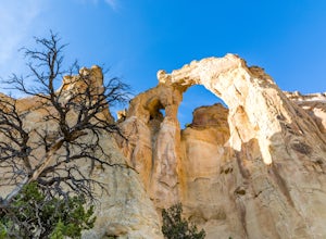
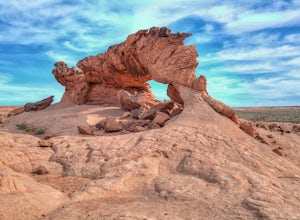
Hike to Grosvenor Arch
5.01.16 mi / 285 ft gainGrosvenor Arch is a sandstone double arch located in Grand Staircase-Escalante National Monument. The arch is named after Gilbert Hovey Grosvenor, a president of the National Geographic Society. To reach the arch, park in the trailhead parking lot off Last Chance Creek Road. The arches are vis...Read more -
Wayne County, Utah
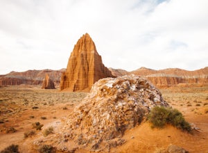
Explore the Temple of the Sun & Moon and Glass Mountain
The temple of the sun and moon are accessed from Cathedral Rd. in Capitol Reef National Park, the road is a 4x4 high clearance vehical road. Upon arriving at the Temples which are called “monoliths”, the giant rocks protrude from the earth, and are something like a fine piece of art. This is a po...Read more -
Henrieville, Utah
Angel's Palace Trail
5.0Kodachrome Basin State Park is located about 9 miles south of Cannonville which is on Highway 12 - midway between Bryce Canyon National Park and Escalante Petrified Forest State Park. It is slightly out of the way, but well worth the detour.Angel's Palace Trail is an excellent option if you have ...Read more -
Tropic, Utah
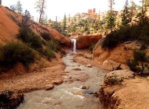
Hike Mossy Cave in Bryce Canyon
3.31 miThis short hike cannot be reached from the main area of Bryce Canyon, but with a 15 minute drive from the main entrance you can access this less crowded portion of the park. Check out a park map for the directions. This is very family-friendly, and is actually more of a "walk" than a "hike."It is...Read more -
Tropic, Utah
Hike the Tropic Ditch Trail
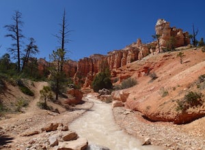
5.02 miFrom the Mossy Cave trailhead, follow the wide easy trail along the Tropic Ditch stream for .35 miles. At that point, the trail splits. To the left is Mossy Cave and to the right is Water Canyon Falls. The trail is lined with beautiful colored cliffs and hoodoos that Bryce Canyon is famous for. T...Read more -
Tropic, Utah
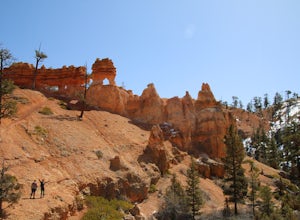
Mossy Cave Turret Arch and Little Windows Trail
5.01.06 mi / 341 ft gainMossy Cave Turret Arch and Little Windows Trail is an out-and-back trail that takes you by a waterfall located near Tropic, Utah.Read more -
Bryce, Utah
Bryce Canyon Scenic Drive
4.520.8 mi / 2516 ft gainInspiration Point: All who look out from this point are bound to be inspired. The intricacies of the hoodoos and their formation through the erosion of the Claron Formation is simply beautiful. You get the most spectacular perspective of the main amphitheater in Bryce Canyon here. Swamp Canyon: ...Read more -
Kane County, Utah
Sunrise Arch
The trailhead starts at Coyote Gulch Trailhead in the Grand Staircase - Escalante National Monument. There is actually no trail to the arches but they are pretty easy to find and even easier with a GPS. The coordinates are Sunrise Arch = 37.382214,-111.04838 and Sunset Arch = 37.38191,-111.048397...Read more -
Kane County, Utah
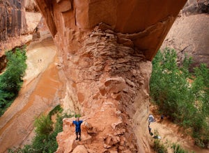
Day Hike Crack-in-the-Wall to Jacob Hamblin Arch in Coyote Gulch
5.011 mi / 2000 ft gainDrive to Hole in the Rock Road outside of Escalante UT. Drive SE down the all-dirt Hole in the Rock Road for 36 miles to a signed turn off on your left. The road can be sandy and bumpy from here, so consider the car you're using. Travel NE for 7 miles to the 40 Mile Ridge TH. From Here, follow a ...Read more -
Bryce, Utah
Hike the Fairyland Loop Trail at Bryce Canyon NP
4.77.8 mi / 1545 ft gainLet's face it: Bryce Canyon National Park is stunning. Its remarkable and unique hoodoos bring people from all over the world, and lots of them. If you're looking to enjoy this incredible park with a little more solitude than the main lookouts or the more popular Under the Rim trail, make sure to...Read more -
Bryce Canyon City, Utah
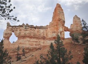
Tower Bridge via Fairyland Loop
4.03.56 mi / 935 ft gainGetting there is half the fun on this hike below the canyon rim. While there are fewer hoodoos in this area of the park, the scenery is still incredible and the crowds are much lighter. Starting at Sunrise Point, the trail boasts big views immediately. During the first mile you can look out a...Read more -
Bryce, Utah
Wall Street Loop in Bryce Canyon
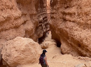
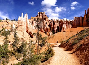
4.73.25 mi / 610 ft gainHoodoos? What's that you say? Hoodoos are these amazing rock formations that Bryce Canyon is famous for. This hike is hands down the best way to see the hoodoos of Bryce Canyon. This hike allows for stunning lookout points from the rim and the experience of hiking through the hoodoos of the cany...Read more -
Bryce, Utah
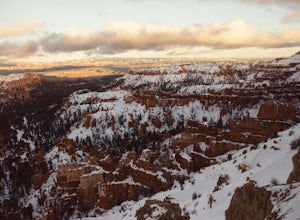
Winter Hike the Navajo-Queens Garden Loop
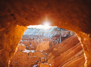
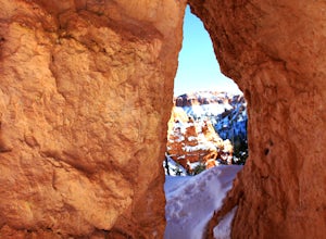
4.83 mi / 580 ft gainWinter is a wonderful time to visit Bryce Canyon because there is snow on the ground but the sun shines bright. I was able to get by with my waterproof hiking boots, a beanie, a thermal shirt and a down jacket. There were even a few points during the hike that I had to remove my jacket because th...Read more -
Bryce, Utah
Navajo Loop Trail
5.01.53 mi / 525 ft gainNavajo Loop Trail is a loop trail that takes you past scenic surroundings located near Bryce, Utah.Read more -
Bryce, Utah
Navajo Loop and Queens Garden Trail
4.92.93 mi / 679 ft gainThere are many many trails that explore the hoodoos of Bryce Canyon and this is just one option of a combination of trails that is about 3.5 miles. The Navajo trail begins at Sunset Point and you head straight down dozens of switchbacks to what is called "Wall Street". It doesn't take long to get...Read more

