Tallassee, Tennessee
Looking for the best hiking in Tallassee? We've got you covered with the top trails, trips, hiking, backpacking, camping and more around Tallassee. The detailed guides, photos, and reviews are all submitted by the Outbound community.
Top Hiking Spots in and near Tallassee
-
Gatlinburg, Tennessee
Hike the Cucumber Gap and Little River Loop
4.05.5 mi / 800 ft gainThis loop offers a scenic 2.5 mile hike next to the river before looping back around via the Cucumber Gap Trail. At the tail end, you'll connect with the Jakes Creek Trail for about 0.7 miles to return you back to the parking lot. Many people hike this trial clockwise, but if it's a hot day, it...Read more -
Sevierville, Tennessee
Laurel Falls Trail
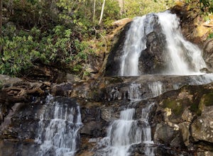
4.32.45 mi / 314 ft gainThis straightforward, yet scenic hike follows a paved trail to the falls, which is among the most popular in the park. This trail can be especially crowded during the summer, so be sure to arrive early. Keep an eye out for a few steep drop-offs on either side of the trail along the way. There ha...Read more -
Tellico Plains, Tennessee
Hike to Falls Branch Falls
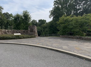
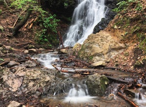
5.02.6 mi / 540 ft gainTo get to the trailhead, drive 22.5 miles on the Cherohala Skyway from Tellico Plains, Tennessee. If you are coming from the North Carolina side, drive 20.5 miles to the trailhead. The trailhead parking area is marked by a large green sign saying West Rattlesnake and is surrounded by a low stone ...Read more -
Knoxville, Tennessee
High Ground Park
1 mi / 50 ft gainThis park is located in south Knoxville right off of Cherokee trail road. The parking lot is very large and can accommodate 15-20 cars. The park is home to the historic Fort Higley which was a Civil War fort built by the Union to protect Knoxville. This is a great place to walk or run through t...Read more -
Knoxville, Tennessee
High Ground Park (Fort Higley)
0.66 mi / 89 ft gainHigh Ground Park (Fort Higley) is an out-and-back trail that takes you through a nice forest and park located near Knoxville, Tennessee.Read more -
Tellico Plains, North Carolina
Hike to Whiggs Meadow
3 mi / 700 ft gainYou will start your hike off of the Cherohala Skyway. The trail-head is a small asphalt pull-off on the right if you are coming from Tellico Plains. From the trail-head the trail starts up and almost all of the trial is an uphill incline on the way there with about 700 feet of elevation change ov...Read more -
Lake Santeetlah, North Carolina
Huckleberry Knob
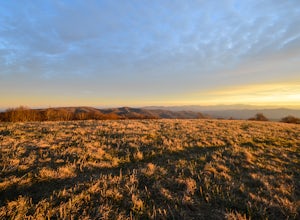
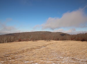
4.81.77 mi / 295 ft gainHuckleberry Knob is the highest point in the Cheoah Ranger District at 5,560 feet, and it offers expansive views of the surrounding Cherokee and Natahala National Forest. The hike is 2.4 miles roundtrip and begins at the parking lot between mile 8 and 9 up an old dirt road. You will go up the di...Read more -
Knoxville, Tennessee
Fort Dickerson Quarry Park
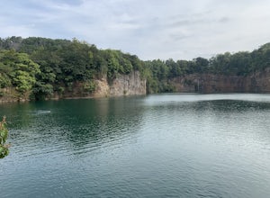
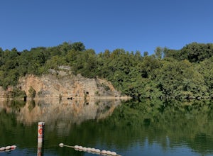
This is an amazing gem in south Knoxville only 7 minutes away from Gay Street. This is one of the newest parks in Knoxville but it has been a part of Knoxville for centuries. The quarry is a gorgeous place for swimming and kayaking. This park offers numerous outdoor activities all in a great plac...Read more -
Knoxville, Tennessee
Mead's Quarry Park
3.0This quarry is located near the Ijams Nature Center in South Knoxville. The quarry is right off of Island Home rd and has a large parking lot. The parking lot has about 30 spaces and about 50 spaces in overflow parking. There is a lot activities to do at the quarry. In the summer there is kayak a...Read more -
Robbinsville, North Carolina
Hike Hooper Bald
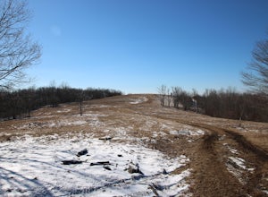
1 mi / 250 ft gainHooper bald is one of the highest points in Graham County so the views from the top can be spectacular year round. The trail-head starts at mile marker 8 on the Cherohala Skyway. From the trail-head you start your accent on a semi-paved trail and walk about a half-mile before reaching the edge o...Read more -
Gatlinburg, Tennessee
Gatlinburg Trail
5.03.8 mi / 351 ft gainGatlinburg Trail is an out-and-back trail that takes you by a waterfall located near Gatlinburg, Tennessee.Read more -
Gatlinburg, Tennessee
Cataract Falls, Smoky Mountains
4.41.09 miYou will find the trailhead to this gravel path just to the left of the Sugarlands Visitor Center. The easy walk along Fighting Creek is scenic and tends not to be crowded, either. At the end of the hike you will find a beautiful 25-foot waterfall. Please refrain from climbing on or around the f...Read more -
Knoxville, Tennessee
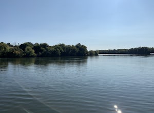
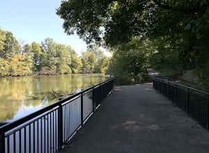
River Boardwalk Trail
1.5 mi / 200 ft gainThis trail is located at the Ijams Nature Center. Ijams Nature Center is only 10 minutes from downtown Knoxville and is a great place to escape city life and enjoy the outdoors. The parking lot here is quite large and in the busy season it has an overflow lot too. Ijams Nature Center has many hik...Read more -
Knoxville, Tennessee
Will Skelton Greenway
7 mi / 300 ft gainThis greenway starts at the Island Home Park and goes through Ijams Nature Center and the Forks of the River Wildlife Management Area. The trail is almost 4 miles one way so it makes for a great half day trip. From start to finish it is 8 miles long. The trail is mostly paved with only a small bi...Read more -
Tellico Plains, Tennessee
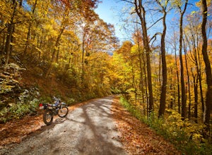
Explore North River Road
4.7If you're looking to get off the beaten path and take the road less traveled, North River Road is your ticket to solitude.A popular loop for the locals is starting on Tellico River Road, then getting on North River Road to make your way up the mountain all the way to the Cherohala Skyway. Take th...Read more -
Tellico Plains, Tennessee
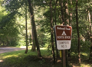
Camp at North River Campground and Dispersed Campsites
North River Road is located in the Nantahala National Forest near Tellico Plains. To get to North River Campground you can either drive up the Cherohala Skyway about 6 miles then turn when you see the sign for the campground and bald river falls. Another way to get to the campsites along North Ri...Read more

