Sweetwater, Tennessee
Looking for the best photography in Sweetwater? We've got you covered with the top trails, trips, hiking, backpacking, camping and more around Sweetwater. The detailed guides, photos, and reviews are all submitted by the Outbound community.
Top Photography Spots in and near Sweetwater
-
Lake Santeetlah, North Carolina
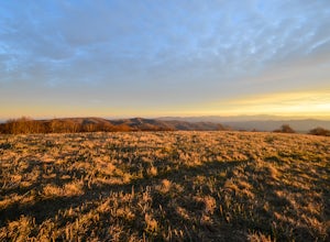
Huckleberry Knob
4.81.77 mi / 295 ft gainHuckleberry Knob is the highest point in the Cheoah Ranger District at 5,560 feet, and it offers expansive views of the surrounding Cherokee and Natahala National Forest. The hike is 2.4 miles roundtrip and begins at the parking lot between mile 8 and 9 up an old dirt road. You will go up the di...Read more -
Wartburg, Tennessee
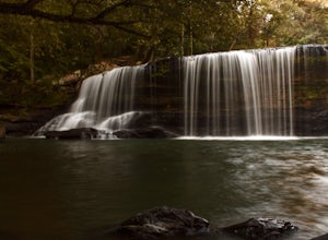
Potter's Falls
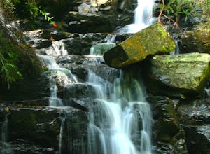
0.1 mi / 50 ft gainPotter's Falls is a semi locally known area that is used for lots of different activities. To get there the roads are pretty simple and easy to follow the directions. The parking can be a bit tricky especially if its during the summer or extreme cold in the winter. There are only about 15 spots o...Read more -
Tallassee, Tennessee
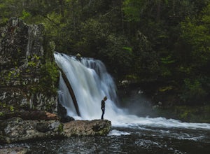
Abrams Falls Trail
4.84.96 mi / 625 ft gainOne of the biggest perks of hiking Abrams Falls is the drive to get there. The trailhead is located approximately 5 miles into the scenic Cades Cove Loop. Cades Cove is an adventure in itself. Keep your eye out for black bears, deer and wild turkey. If you are taking the self guided auto tour, Ab...Read more -
Robbinsville, North Carolina
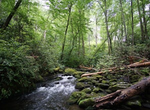
Hike Joyce Kilmer Memorial Forest Loop
5.02 miThe beauty of this trail starts at the parking lot. Before you start the trail, you will find a picnic table near the parking lot and go down to the edge of the rolling stream. Its a great spot to hear the stream and take some pictures. If you are feeling adventurous you can try to hop from rock ...Read more -
Reliance, Tennessee
Hike the Scenic Spur Trail
5.03.9 mi / 426 ft gainVery little elevation gain leads to an easy hike along a river right outside of the Ocoee river region. First .7 miles is very flat, then leads to some slight elevation gain but nothing too serious. This trail traverses through the lush forest for a short distance when you come across a small cre...Read more -
Benton, Tennessee
Take in the View at Chilhowee Overlook
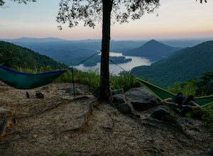
5.0Catch the sunset, bring friends and a picnic, or gaze at the stars from this classic Tennessee overlook! To reach Chilhowee Overlook, follow U.S. Highway from Ocoee, Tennessee for 8 miles then turn left onto Oswald Road. Follow Oswald Road for 3.75 miles until you encounter the overlook on your r...Read more -
Townsend, Tennessee
Bike Cade's Cove Loop
4.710.5 miCade's Cove is a valley located smack in the middle of the Great Smoky Mountains National Park. Feel free to drive the 11 mile loop in the day, but if you're really cool, you'll schedule your trip around a full moon so you can bike under the light of night! Allow yourself a few hours to explore a...Read more -
Benton, Tennessee
Watch the Sunset from Sugarloaf Overlook
The overlook is easily accessible from a parking circle located off Oswald Road. Follow U.S. Highway from Ocoee, Tennessee for 8 miles then turn left onto Oswald Road. Follow Oswald Road for 2.5 miles until you encounter the overlook on your left. The overlook will be clearly marked with signage....Read more -
Robbinsville, North Carolina
Paddle The Cheoah River
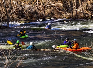
5.0The Cheoah River is a dam controlled section of whitewater that has become one of the "bucket runs" for Western, North Carolina. Located near Robbinsville, NC, the Cheoah is a non-stop class IV+ classic of constant gradient that delivers a Southeastern whitewater experience like no other. There ...Read more -
Walland, Tennessee
Drive the Foothills Parkway National Scenic Byway
5.0The foothills parkway runs parallel to the Great Smoky Mountains. It is 38.6 miles in total with the longest section at 33.0 miles. There are a few different places to get on to the parkway. There is one entrance near Fontana, Walland, Wears Valley, and Cosby. However Cosby is a smaller section a...Read more -
Copperhill, Tennessee
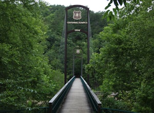
Explore Ocoee Whitewater Center
This location showcases the Ocoee river and the area used in the 1996 Olympics. This area is beautiful and has some amazing views. The drive to the whitewater center is called the Ocoee Scenic Byway and is the first national forest byway. The drive is gorgeous and features some amazing mountain v...Read more -
Knoxville, Tennessee
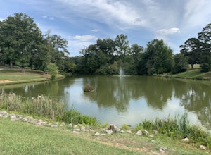
Victor Ashe Park
2.5 miThis park is located just 10 minutes from downtown Knoxville. The parking here is massive and has near 100 parking spots spread out over the park. The park offers many activities and amazing views. The main attraction of the park is the greenway and the disc golf course. The greenway runs all the...Read more -
Lancing, Tennessee
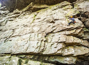
Climb The Lilly Bluff Wall
The Obed Wild and Scenic River is typically not found in the same conversations as Zion or Yosemite, but be assured this hidden gem of Tennessee is one of the East Coast's must climb destinations.There are a number of climbing areas within the Obed worth exploring, ranging from bouldering to mul...Read more -
Lancing, Tennessee
Camp at OBED Wild and Scenic River Area via the Point Trail
4 miYou will want to park at the Lilly Bluff parking lot. Your GPS won't know where this is, so here are the GPS coordinates N36° 06.162', W84° 43.280'.The trailhead is located on the North side of the parking lot. All you need to do is follow the sign for Point Trail. The trail culminates at an e...Read more -
Lancing, Tennessee
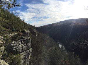
Take in the View at Lilly Bluff Overlook
5.00.6 mi / 0 ft gainHonestly this is hard to even call a trail, but that doesn't mean it lacks beauty. Once you take the right or left of off ridge Ridge Road make sure to go past the first parking lot and into the second larger parking lot. The trail starts near the front of the parking lot on the right side of the...Read more -
Fontana Dam, North Carolina
Shuckstack Fire Tower
5.08.84 mi / 2605 ft gainYour Shuckstack adventure starts at the Fontana Dam outside of Bryson City, NC. As the highest dam East of the Rocky Mountains, it's a sight on its own. This will be your last chance to fill up water bottles and use the restroom so take advantage. You can leave on foot from the dam and continue ...Read more

