Sweetwater, Tennessee
Looking for the best chillin in Sweetwater? We've got you covered with the top trails, trips, hiking, backpacking, camping and more around Sweetwater. The detailed guides, photos, and reviews are all submitted by the Outbound community.
Top Chillin Spots in and near Sweetwater
-
Wartburg, Tennessee
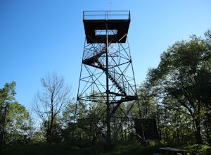
Hike to Frozen Head State Park Fire Tower
4.54.5 mi / 1300 ft gainTo get to this hike the easiest way is to go up Petros hwy near the closed Brushy Mountain State prison. The trailhead is a large gravel lot on the side of the road. The trail is an old road so it is wide and well taken care of. However, the trail is very steep all the way up. The trail has only ...Read more -
Copperhill, Tennessee
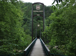
Explore Ocoee Whitewater Center
This location showcases the Ocoee river and the area used in the 1996 Olympics. This area is beautiful and has some amazing views. The drive to the whitewater center is called the Ocoee Scenic Byway and is the first national forest byway. The drive is gorgeous and features some amazing mountain v...Read more -
Lancing, Tennessee
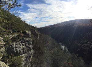
Camp at OBED Wild and Scenic River Area via the Point Trail
4 miYou will want to park at the Lilly Bluff parking lot. Your GPS won't know where this is, so here are the GPS coordinates N36° 06.162', W84° 43.280'.The trailhead is located on the North side of the parking lot. All you need to do is follow the sign for Point Trail. The trail culminates at an e...Read more -
Murphy, North Carolina
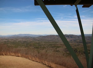
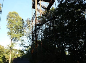
Hike to Panther Top Fire Tower
1.5 mi / 450 ft gainThe Panther Top fire tower is located in the Nantahala National Forest outside of Murphy, NC. To get there you get off of US 74 then turn onto panther top rd and continue till you see the signs for the tower. Once you get there the hike is about .75 there mostly up on the way to the top of the to...Read more -
Knoxville, Tennessee
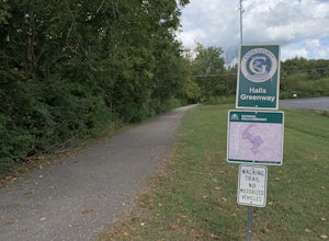
Bike or Run the Halls Greenway
2 miThis place is located right in the middle of Halls Crossroads. There are multiple access points along the Greenway. There is the Halls Community Center which is where the GPS of this adventure will lead you or there is a small parking area next to the Halls Food City. There are other entrances fr...Read more -
Pikeville, Tennessee
Hike to Fall Creek Falls Fire Tower
4.51 mi / 100 ft gainThe tower is located in the far northeast corner of Fall Creek Falls state park. The road to get there can be rough especially if it has rained recently but any 2 wheel drive vehicle should be able to make it. When you get to the trailhead it is a small gravel pull off with a gate. From the gate ...Read more -
Bryson City, North Carolina
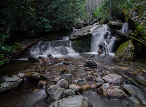
Hike Ledbetter Creek
5.0Leaving the Nantahala Outdoor Center, drive upriver for 6.5 miles until you see a pull off on the right. Walk past the picnic tables, cross the railroad tracks, then follow the trail to arrive at the creek. Once you're there, it's up to you on what to do next.One of the most popular activities he...Read more

