Sherwood, Tennessee
Looking for the best chillin in Sherwood? We've got you covered with the top trails, trips, hiking, backpacking, camping and more around Sherwood. The detailed guides, photos, and reviews are all submitted by the Outbound community.
Top Chillin Spots in and near Sherwood
-
Chattanooga, Tennessee
Stroll Chattanooga's Walnut Street Bridge
5.0Chattanooga's Walnut Street Bridge was once almost demolished, but instead it was revitalized to be one of the longest pedestrian bridges in the world. Connecting the Downtown Arts District to Northshore's Frazier Avenue, this bridge hosts visitors and locals year round. Whether you walk, bike, o...Read more -
Woodville, Alabama
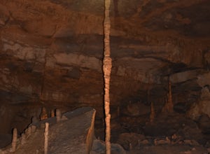
Visit the Cathedral Caverns
2.9 mi / 50 ft gainCathedral Caverns - The Pride of Alabama -- Located in northeastern Alabama, Cathedral Caverns offers an easy look inside an underground system of caverns. The primary trail is well-developed and wheel-chair accessible for most of its 2.9 mile length. The Caverns features many impressive sights. ...Read more -
Soddy-Daisy, Tennessee
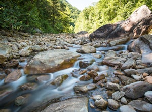
Hike the Hogskin Loop to Stripmine Falls
2.51.3 miStripmine Falls is not the biggest waterfall in the area, but it is both beautiful and accessible with just a short and easy out-and-back (or loop) hike. The additional attraction of cool swimming pools along Chickamauga creek make this an ideal destination for a day full of relaxation and adven...Read more -
Mentone, Alabama
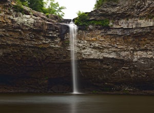
Hike to the Base of DeSoto Falls
4.80.7 mi / 285 ft gainThe main visitor entrance to DeSoto Falls in Mentone, AL provides easy, paved trails along the upper rim of the falls. For a more private an intimate view, there is a pull off on the side of the road and trail access. Heading south on AL Hwy 89, take a left turn on Dekalb Country Road 613. Afte...Read more -
Grove Oak, Alabama
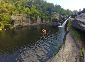
Cliff Jump at High Falls Park
4.9This park is fairly small and definitely off the beaten path on Alabama's back roads, so be sure to pay attention to which streets you're on.From Birmingham or Chattanooga, take Interstate 59 to Exit 218 in Fort Payne. Take Highway 35 West to Rainsville, then turn left onto Highway 75. Follow Hig...Read more -
Guntersville, Alabama
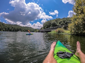
Kayaking at Lake Guntersville State Park
Lake Guntersville State Park is a publicly owned recreation area located on the far north side of the city of Guntersville in Marshall County, Alabama. The state park occupies 5,909 acres on the eastern shore of Guntersville Lake, a 69,000-acre impoundment of the Tennessee River. Lake Guntersvill...Read more -
Fort Payne, Alabama
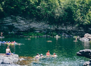
Swim at Little Falls (Martha's Falls)
4.41.5 miLittle Falls, also referred to as Martha Falls and the “Hippie Hole” by the locals, is a popular swimming hole a part of Little River Canyon National Preserve, located along the state line of Alabama and Georgia. Perks include free parking and free admission. Drive up Lookout Mountain and pull i...Read more


