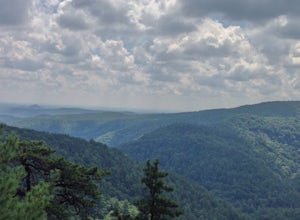
Roan Mountain, Tennessee
Looking for the best photography in Roan Mountain? We've got you covered with the top trails, trips, hiking, backpacking, camping and more around Roan Mountain. The detailed guides, photos, and reviews are all submitted by the Outbound community.
Top Photography Spots in and near Roan Mountain
-
Mouth of Wilson, Virginia
Backpack the Grayson Highlands
4.89.1 mi / 1549 ft gainSpanning roughly 4500 acres, located in a portion of Jefferson National Forest, looming under the highest peak in Virginia lies the Grayson Highlands. A part of Virginia’s State Parks system and a United States National Landmark, located in Mouth of Wilson, Virginia, the Highlands are home to wil...Read more -
Mouth of Wilson, Virginia
Mount Rogers via Appalachian Trail
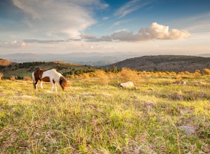
5.09.1 mi / 1549 ft gainFirst of all, who doesn't love wild ponies! There are tons of ponies here, and although they are wild, they are not afraid of people and you can get pretty close (just don't feed them!). Once you enter Grayson Highlands State Park, you will see a parking lot for Massie Gap a few miles in, par...Read more -
Mouth of Wilson, Virginia
Photograph Sugarland Overlook
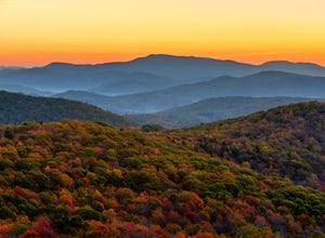
Located just inside the park entrance of Grayson Highlands State Park in Virginia, Sugarland Overlook provides an outstanding easterly view of the surrounding Blue Ridge Mountains. The Sugarland Overlook is located about a mile up from the ranger station and is on the righthand side of the road....Read more -
Hot Springs, North Carolina
Camp at Rich Mountain Fire Tower
5.0Rich Mountain fire tower is located in the Cherokee National Forest just outside of Hot springs North Carolina. Getting there is pretty easy once you get off of US 25W you drive up a gravel road for about 5 miles until you get to the tower. Once you get to the top its about a 100 foot walk until ...Read more -
Asheville, North Carolina
Photograph Haw Creek Valley Overlook
The Haw Creek Valley Overlook is only 8 miles from downtown Asheville. If you're in the downtown area, it's a rather easy place to zip on over to if you're in need of some time away from urban life. This overlook is a hot spot for sunset watching and picture taking. If you plan on seeing what th...Read more -
Saltville, Virginia
Hike the Great Channels
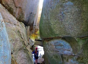
4.86 mi / 1200 ft gainPark at the parking lot at the crest of Clinch Mountain at Hayters Gap on Rt. 80, and walk along the road (Raven Ridge Road) behind the gate. The trail is fairly easy with minimum elevation gain and follows an old road bed almost the whole way. Be sure to keep to the left when the road splits and...Read more -
138 Silver Mine Road, North Carolina
Hike the Lovers Leap Loop Trail
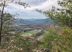
5.01.8 mi / 472 ft gainLovers Leap Loop trail is a 1.8 mile loop in Hot Springs, NC. The address of the trailhead is 138 Silver Mine Rd, Hot Springs, NC 28743. Once you arrive at the parking lot, you will see a trail leading up into the mountain with a post next to it. This is where you want to begin. It is part of the...Read more -
Connelly Springs, North Carolina
Chestnut Knob via River Trail
4.05.9 mi / 1115 ft gainThe journey begins at the Cicero Branch Parking Area along South Mountain Road, following Jacob Fork River Trail. The trail runs along the Fork before ascending Chestnut Knob. After completing the trail, you will find yourself on the highest peak of the South Mountain chain, where there are breat...Read more


