Orme, Tennessee
Looking for the best hiking in Orme? We've got you covered with the top trails, trips, hiking, backpacking, camping and more around Orme. The detailed guides, photos, and reviews are all submitted by the Outbound community.
Top Hiking Spots in and near Orme
-
Soddy-Daisy, Tennessee
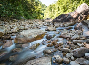
Hike the Hogskin Loop to Stripmine Falls
2.51.3 miStripmine Falls is not the biggest waterfall in the area, but it is both beautiful and accessible with just a short and easy out-and-back (or loop) hike. The additional attraction of cool swimming pools along Chickamauga creek make this an ideal destination for a day full of relaxation and adven...Read more -
Soddy-Daisy, Tennessee
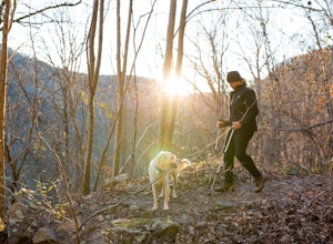
Hike the Hogskin Upper and Lower Loop
5.01.4 miAfter an easy 25 minute drive from Chattanooga you will reach North Chickamauga Gorge on Montlake Road in Soddy Daisy. Park any where in the gravel loop just make sure other cars can get through. From the Montlake Road Trailhead Kiosk the trail begins on an old mining road. Hogskin Upper Loop Tr...Read more -
661-799 Stone Fort Drive, Tennessee
Hike Old Stone Fort Trail
5.02.9 mi / 265 ft gainThe main hiking trail at this small state park follows the wall of Old Stone Fort which was used by the Native Americans as a ceremonial gathering place. The trail threads through dramatic scenery where you can see the original entrance of the fort which was designed to face the exact spot on the...Read more -
Soddy-Daisy, Tennessee
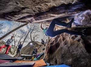
Bouldering Stone Fort, TN
4.50.25 miStone Fort sits atop the Cumberland Plateau just half an hour from downtown Chattanooga, and is one of the premiere bouldering locations in the Southeast. One of the three sites of the annual Triple Crown Bouldering competition, Stone Fort offers a wealth of climbing problems for any climber's a...Read more -
Woodville, Alabama
Visit the Cathedral Caverns
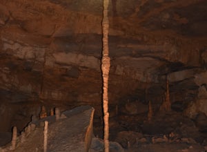
2.9 mi / 50 ft gainCathedral Caverns - The Pride of Alabama -- Located in northeastern Alabama, Cathedral Caverns offers an easy look inside an underground system of caverns. The primary trail is well-developed and wheel-chair accessible for most of its 2.9 mile length. The Caverns features many impressive sights. ...Read more -
Fort Payne, Alabama
Swim at Little Falls (Martha's Falls)
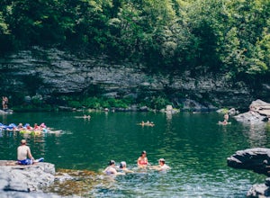
4.41.5 miLittle Falls, also referred to as Martha Falls and the “Hippie Hole” by the locals, is a popular swimming hole a part of Little River Canyon National Preserve, located along the state line of Alabama and Georgia. Perks include free parking and free admission. Drive up Lookout Mountain and pull i...Read more -
Fort Payne, Alabama
Explore Little River Falls
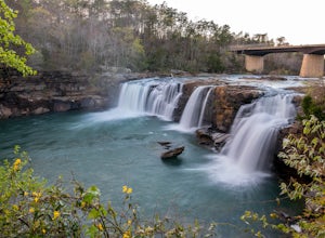
4.0Little River Falls is a popular site within the Little River Canyon National Preserve, a 12 mile long, 600 ft deep canyon.The 45-foot falls can be accessible from two different vantage points – either via a paved but steep path from the parking lot down to an overlook, or by driving to a higher l...Read more -
Fort Payne, Alabama
Little River Canyon
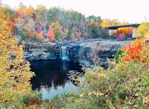
1.33 mi / 180 ft gainLittle River Canyon is a loop trail that takes you by a waterfall located near Fort Payne, Alabama.Read more -
Guntersville, Alabama
Kayaking at Lake Guntersville State Park
Lake Guntersville State Park is a publicly owned recreation area located on the far north side of the city of Guntersville in Marshall County, Alabama. The state park occupies 5,909 acres on the eastern shore of Guntersville Lake, a 69,000-acre impoundment of the Tennessee River. Lake Guntersvill...Read more -
Summerville, Georgia
Hike the Marble Mine Trail
4.31.7 mi / 200 ft gainThis 1.7 mile loop is almost entirely on a wide pebbled road making this hike perfect for getting families and friends outdoors. Though there is some elevation gain, the Marble Mine Loop is quite an easy walk. Go during the Fall and the trees are boasting all the reds, oranges, and yellows of the...Read more -
LaFayette, Georgia
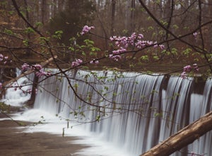
Hike to Keown Falls
1.8 mi / 450 ft gainKeown Falls Trail is a moderate loop perfect for a Spring day (especially after those April showers). The trailhead is located in the Keown Falls picnic area which is very spacious spotted with several picnic tables. This would be a great place for a family gathering and is spacious enough that ...Read more

