Gruetli-Laager, Tennessee
Top Spots in and near Gruetli-Laager
-
Chattanooga, Tennessee
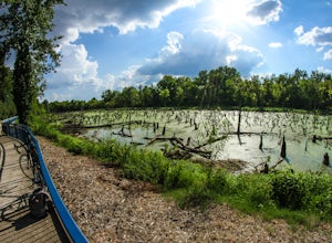
The Tennessee Riverwalk is a part of the Tennessee Riverpark System that features the Coolidge Park, Renaissance Park, Ross's Landing, and the Walnut Street Bridge, all jewels of downtown Chattanooga. It is a networks of boardwalks, bridges, and paved pathways that runs alongside the Tennessee Ri...
Read more
-
Chattanooga, Tennessee
Chattanooga's Walnut Street Bridge was once almost demolished, but instead it was revitalized to be one of the longest pedestrian bridges in the world. Connecting the Downtown Arts District to Northshore's Frazier Avenue, this bridge hosts visitors and locals year round. Whether you walk, bike, o...
Read more
-
661-799 Stone Fort Drive, Tennessee
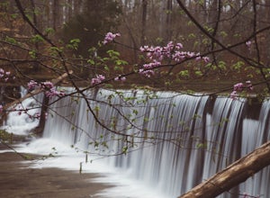
The main hiking trail at this small state park follows the wall of Old Stone Fort which was used by the Native Americans as a ceremonial gathering place. The trail threads through dramatic scenery where you can see the original entrance of the fort which was designed to face the exact spot on the...
Read more
-
Lookout Mountain, Tennessee
Located in Chickamauga & Chattanooga National Military Park, Point Park is a ten acre memorial park that overlooks the Lookout Mountain Battlefield and the city of Chattanooga. There is a paved walking path around the park that takes visitors by several historic tablets, monuments, confederat...
Read more
-
Tullahoma, Tennessee
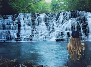
Find the trail parking area by following your GPS to “Rutledge Falls Baptist Church”. You will see a small parking area on the side of the road across the street from the church. The path to the falls is extremely short with a steep section to climb down to the base of the falls. This trail is on...
Read more
-
Chattanooga, Tennessee
Sunset Rock provides spectacular access to the Bluff and Gum Spring Trails for hiking, is home to some of the top trad climbing routes in the area, and is perfect for residents and visitors alike who are seeking a great view of the Chattanooga area. Parking is allowed in a tiny lot provided on We...
Read more
-
Rock Island, Tennessee
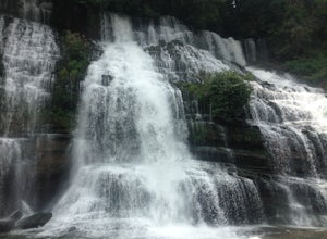
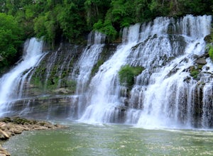
Upon entering Rock Island State Park from the east, the parking area for this trail is located right after the old cotton mill (my friend and I actually ended up getting lost because it is tucked away there quite nicely). The trail that leads to Twin Falls actually starts at the westernmost part ...
Read more
-
Rock Island, Tennessee
This little campground is nestled in Rock Island State Park. There are two campgrounds, this one is specifically tents only. Each campsite is pull in and provides you with enough room to set up two tents. In addition each campsite has a four sided picnic bench, fire pit, trash can, charcoal grill...
Read more
-
Tullahoma, Tennessee
Short Springs Natural Area is where these falls are located. There is a decent amount of hiking trails that are a nice getaway for a day to hang out at for waterfalls.
Put into your gps "machine falls parking." The gps will take you to the exact parking area. The directions go as follows from Nas...
Read more
-
Tullahoma, Tennessee
4.8
4.07 mi
/ 732 ft gain
The Machine Falls loop at Short Springs Natural Area is a 1.6 mile round trip hike easily followed by white blazes. It is rated moderate difficulty due to the short, steep descent into a gorge where the falls is located. The trail is sparsely trafficked; there are usually quite a few people han...
Read more
-
Lookout Mountain, Georgia
Lula Lake Land Trust may only be accessible on the first and last Saturday of every month, but a visit to this North Georgia park is well worth planning for. It offers a small, but beautiful lake, a large waterfall, and over 6 miles of trails for hiking or biking. The 1-mile level gravel road fro...
Read more
-
Dayton, Tennessee
The Laurel-Snow Trail was the first National Recreation Trail designated in Tennessee and at just under 35 miles from downtown Chattanooga, it is perfect for a day hike, for a day of climbing, or for setting up basecamp for the weekend. The 2,000 acre area sits along the Walden Ridge of the Cumbe...
Read more
-
Sparta, Tennessee
GPS Coordinates:
35.84102,-85.36123
Why We Love It:
NO CROWDS- We only came across a few other people so, it’s a little more low key than some other popular Tennessee waterfalls. DISNEY LOVED IT- This was a filming location for Disney’s 1994 The Jungle Book!CAVE- Across the path there is a lar...
Read more
-
Sherwood, Tennessee
5.0
7.74 mi
/ 1667 ft gain
Walls of Jericho via Tennessee Trailhead is an out-and-back trail that takes you by a waterfall located near Belvidere, Tennessee.
Read more
-
Mooneyham, Tennessee
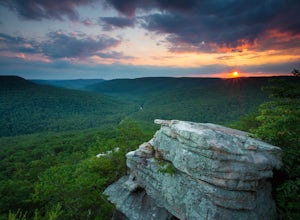
This location was recently opened back to the public by Tennessee Wildlife Resources Agency and the Tennessee Department of Conservation and Environment in the fall of 2014 after being closed for over a decade! It is one of the most spectacular spots to watch the sunset in east Tennessee.
This o...
Read more
-
Estillfork, Alabama
4.5
5.8 mi
/ 1417 ft gain
Around 5pm, we hiked down the only clearly marked trail that departs from the parking lot. The path begins with gentle switchbacks and great views of the forest, occasionally passing by small waterfalls, sinkholes, and caves; and arriving at the Hurricane Creek crossing (log with handrail) after ...
Read more

