Fall Creek Falls, Tennessee
Top Spots in and near Fall Creek Falls
-
Lancing, Tennessee
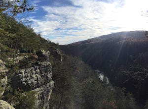
You will want to park at the Lilly Bluff parking lot. Your GPS won't know where this is, so here are the GPS coordinates N36° 06.162', W84° 43.280'.The trailhead is located on the North side of the parking lot. All you need to do is follow the sign for Point Trail. The trail culminates at an e...
Read more
-
Lancing, Tennessee
Honestly this is hard to even call a trail, but that doesn't mean it lacks beauty. Once you take the right or left of off ridge Ridge Road make sure to go past the first parking lot and into the second larger parking lot. The trail starts near the front of the parking lot on the right side of the...
Read more
-
Lancing, Tennessee
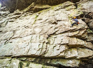
The Obed Wild and Scenic River is typically not found in the same conversations as Zion or Yosemite, but be assured this hidden gem of Tennessee is one of the East Coast's must climb destinations.There are a number of climbing areas within the Obed worth exploring, ranging from bouldering to mul...
Read more
-
Lancing, Tennessee
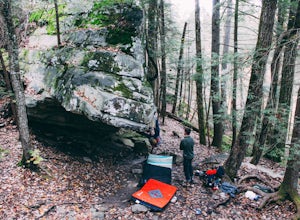
Start the quick approach to Lilly Boulders from the Lilly Overlook parking area. For directions, plug the coordinates 36.10277, -84.72147 into your GPS or try here.
At the leftmost part of the parking lot, you will see a sign for the trailhead leading to the boulder field. Follow this 0.2-mile t...
Read more
-
Tullahoma, Tennessee
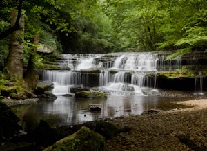
Find the trail parking area by following your GPS to “Rutledge Falls Baptist Church”. You will see a small parking area on the side of the road across the street from the church. The path to the falls is extremely short with a steep section to climb down to the base of the falls. This trail is on...
Read more
-
Orme, Tennessee
Take a leisurely 6.2-mile paddle along this stretch of the Tennessee River. River access via boat ramps at both ends makes this a beginner-level paddle with breathtaking views and plenty of wildlife along the way.
Be sure to have a shuttle car parked at the takeout.
Read more
-
Tullahoma, Tennessee
4.8
4.07 mi
/ 732 ft gain
The Machine Falls loop at Short Springs Natural Area is a 1.6 mile round trip hike easily followed by white blazes. It is rated moderate difficulty due to the short, steep descent into a gorge where the falls is located. The trail is sparsely trafficked; there are usually quite a few people han...
Read more
-
Tullahoma, Tennessee
Short Springs Natural Area is where these falls are located. There is a decent amount of hiking trails that are a nice getaway for a day to hang out at for waterfalls.
Put into your gps "machine falls parking." The gps will take you to the exact parking area. The directions go as follows from Nas...
Read more

