Copperhill, Tennessee
Looking for the best hiking in Copperhill? We've got you covered with the top trails, trips, hiking, backpacking, camping and more around Copperhill. The detailed guides, photos, and reviews are all submitted by the Outbound community.
Top Hiking Spots in and near Copperhill
-
Tellico Plains, North Carolina
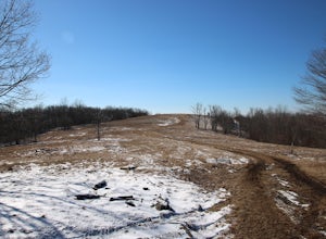
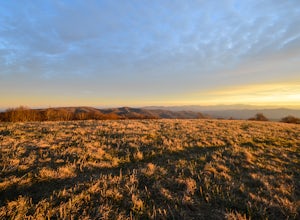
Hike to Whiggs Meadow
3 mi / 700 ft gainYou will start your hike off of the Cherohala Skyway. The trail-head is a small asphalt pull-off on the right if you are coming from Tellico Plains. From the trail-head the trail starts up and almost all of the trial is an uphill incline on the way there with about 700 feet of elevation change ov...Read more -
Tellico Plains, Tennessee
Hike to Falls Branch Falls
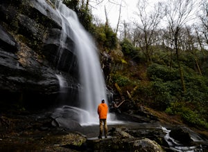
5.02.6 mi / 540 ft gainTo get to the trailhead, drive 22.5 miles on the Cherohala Skyway from Tellico Plains, Tennessee. If you are coming from the North Carolina side, drive 20.5 miles to the trailhead. The trailhead parking area is marked by a large green sign saying West Rattlesnake and is surrounded by a low stone ...Read more -
Robbinsville, North Carolina
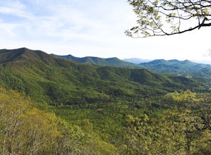
Hike Hooper Bald
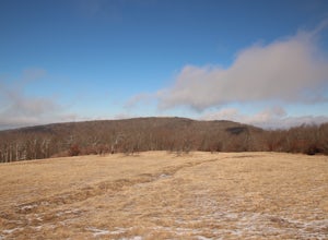
1 mi / 250 ft gainHooper bald is one of the highest points in Graham County so the views from the top can be spectacular year round. The trail-head starts at mile marker 8 on the Cherohala Skyway. From the trail-head you start your accent on a semi-paved trail and walk about a half-mile before reaching the edge o...Read more -
Ellijay, Georgia
Hike the Tumbling Waters Trail
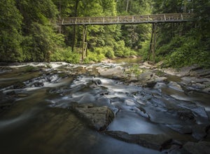
5.01.3 mi / 160 ft gainJust North of Carters Lake lies one of its tributaries, Tails Creek. The Tumbling Waters Trail follows along a scenic stretch of this creek as it cascades its way towards the lake. This trail is moderately trafficked and considered a local favorite. The Tumbling Waters trailhead also contains a...Read more -
Lake Santeetlah, North Carolina
Huckleberry Knob
4.81.77 mi / 295 ft gainHuckleberry Knob is the highest point in the Cheoah Ranger District at 5,560 feet, and it offers expansive views of the surrounding Cherokee and Natahala National Forest. The hike is 2.4 miles roundtrip and begins at the parking lot between mile 8 and 9 up an old dirt road. You will go up the di...Read more -
Arkaquah Trail, Georgia
Hike the Arkaquah Trail to Brasstown Bald
11 mi / 3756 ft gainThe Arkaquah Trail is unique as far as North Georgia trails go for any reasons. Its elevation gain and distance puts it near the top for most challenging day hikes in the Blue Ridge Mountains. If the 11 miles round-trip sounds a bit daunting, this hike can also be done as a 5.5 mile point-to-po...Read more -
Vonore, Tennessee
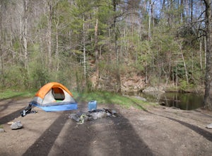
Camp at Citico Creek
5.0There are a few options for getting to Citico Creek, you can either go up the windy gravel road from US 411 or get off of the Cherohala Skyway and go down the mountain past the Indian Boundary campground. The Citico Creek campground has about 5 or 6 spots but is rarely full because it is very sec...Read more -
Young Harris, Georgia
Hike the Miller Trek
5.06.3 mi / 1325 ft gainThis is an awesome trek with views of both Young Harris and Hiawassee, GA! The trail starts from the parking area where there is the Miller Trek A-Frame (see photo for reference)! There are several different trails within the trail system on the mountain, but if you take 5 minutes to read the map...Read more -
Blairsville, Georgia
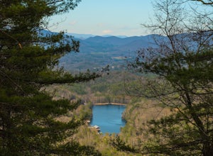
Hike the Bear Hair Gap Trail
4.55.5 mi / 675 ft gainVogel State Park is one of the many beautifully preserved wilderness parks of Northern Georgia. With a stunning alpine lake and 17 miles of trails, you cannot go wrong. The Bear Hair Trail is the perfect mid-distance option that will reward you with both great views of the lake from a high vant...Read more -
Blairsville, Georgia
Hike the Trahlyta Lake Trail to Trahlyta Falls
1 mi / 30 ft gainLake Trahlyta in Vogel State Park offers a truly unique combination of natural beauty and opportunity for recreation. The easy one-mile Lake Trahlyta trail circles the emerald colored lake and has a short deviation that leads to a calming, yet impressive waterfall. The trail starts on the edge...Read more -
Cleveland, Georgia
Hike the Appalachian Trail to Preachers Rock
5.02.1 mi / 425 ft gainThe Appalachian Trail is arguably the most famous thru-hike in the world. Along its 2,181-mile journey, there are many beautiful mountain views, and Preachers Rock is definitely one of them. A large granite slab near the summit of Big Cedar Mountain reveals mountain views that are truly the epi...Read more -
Blairsville, Georgia
Appalachian Trail from Blood Mountain to Cowrock Mountain
4.014 mi / 2907 ft gainNorth Georgia is packed with awesome mountain trails, but few boast the beauty and magnitude of the Appalachian Trail. The hike from Blood Mountain to Cowrock Mountain is one of the more scenic sections of the AT in Georgia, in terms of mountain views. Do this hike as a full day hike, or spread ...Read more -
Blairsville, Georgia
Blood Mountain via Byron Reece Trailhead
4.74.34 mi / 1447 ft gainThe Chattahoochee National Forest and Cohutta Wilderness make up the wild and scenic southern tip of the Blue Ridge Mountains. The Blood Mountain trail offers the day hiker a taste of the Appalachian Trail that does not disappoint. The hike starts at the Byron Reece trailhead at Neels Gap where ...Read more -
Dawsonville, Georgia
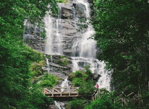
Amicalola Falls Loop via Upper Observation Platform
5.01.93 mi / 666 ft gainTo get there you can use Google Maps or Waze to “Upper Observation Platform” – W Ridge Staircase, Dawsonville, GA 30534. The other option is to start at the visitor center. If you start at the visitor center, it will add about a mile to your hike so parking in the upper parking lot like us will s...Read more -
Joyce Kilmer-Slickrock Wilderness, North Carolina
Backpack Slickrock Creek Trail #42
30 mi / 3700 ft gain8:30 a.m. and we’re winding our way down Highway 129 near Robbinsville, NC. The fog is still thick over the Little Tennessee River as we slow down crossing the bridge into Graham County. “I think we missed it,” I say as we continue onward. Within minutes the Tapoco Lodge comes into view. My pre-h...Read more -
Dawsonville, Georgia
Hike to Springer Mountain
3.519 mi / 4346 ft gainBegin your journey from Amicalola Falls State Park. Despite the steep climb, you should park at the base of the falls and climb the steps for a great view of one of the grandest falls in the South. (For more on that hike, see: "Climb the Stairs to Amicalola Falls"). From the top of the falls, fol...Read more

