Colonial Heights, Tennessee
Looking for the best hiking in Colonial Heights? We've got you covered with the top trails, trips, hiking, backpacking, camping and more around Colonial Heights. The detailed guides, photos, and reviews are all submitted by the Outbound community.
Top Hiking Spots in and near Colonial Heights
-
Bristol, Tennessee
Emmett Trail
5.02.16 mi / 194 ft gainThe Emmett Trail is one of the TVA South Holston Tailwater Trails. This trail began as a footpath created by anglers. The trail now has gravel, which makes for easier access for families and pets. The trailhead begins on Piney Hill Road where it the traverses down to the waters edge and leads to ...Read more -
Bristol, Tennessee
Bouton Loop Trail
5.01.45 mi / 157 ft gainThe Bouton Trail Loop is an approximately 1.5 mile round trip on TVA land. There is a gravel parking lot with an information sign and trail map. Sections of the trail are gravel and sections are dirt. There are multiple places along the trail that cut off and lead down to the river for prime fish...Read more -
Bristol, Tennessee
Tailwater Trail
5.00.95 mi / 30 ft gainThe TVA Tailwater Trail is a 0.5 mile trail along the east side of South Fork Holston River. The trail is dirt and ends in an incline. Along the edge of the river, there are views of the distant Holston Mountain. This trail provides access to the river for fishing. It is located near the Emmett T...Read more -
Bristol, Tennessee
Osceola Island Loop
5.01.52 mi / 95 ft gainThe Osceola Island Loop is a 1.50 mile gravel loop on an island in the South Holston River. There are multiple benches along the loop to stop and observe the wildlife. Fishing is a common activity along the edge of the trail. There is a large parking area and bathrooms at the start of the trail.Read more -
Bristol, Tennessee
Spillway Trail
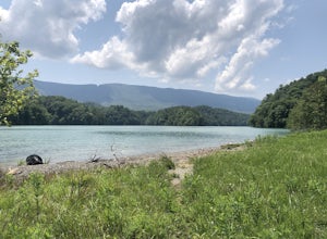
5.03.54 mi / 869 ft gainSpillway Trail is an out-and-back trail that takes you by a lake located near Bristol, Tennessee.Read more -
Elizabethton, Tennessee
Flint Mill Trail
5.02.44 mi / 1302 ft gainFlint Mill Trail is an approximately 2.4 mile out-and-back trail in the Cherokee National Forrest. The trailhead is located on Flatwoods Road in Elizabethton, TN. The trail has a rather steep incline and is considered challenging. There is a 1,264 foot altitude change from the base to the top . T...Read more -
Duffield, Virginia
Hike the Devil's Bathtub
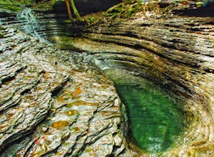
5.03.96 mi / 250 ft gainThe Devil’s Bathtub is a deep pool of blue-green water known for being a great swimming hole and a beautiful natural feature. This hike is a 3.2 mile out and back hike with 250 feet elevation gain. There are at least 15 stream crossings, so extreme caution should be taken during periods of mediu...Read more -
Elizabethton, Tennessee
Climb at Blue Hole Falls
3.70.1 mi / 0 ft gainFrom TN 91, turn onto Panhandle Road. Follow Panhandle for 1 mile and park in the parking lot to the left. Waterfall Follow the path to your right downwards until you encounter wooden stairs. The main waterfall will be to your right less than .1 mile from the parking lot. There are two other wat...Read more -
Erwin, Tennessee
Martin's Creek Falls
3.02.06 mi / 522 ft gainMartin's Creek Falls is an out-and-back trail that takes you by a waterfall located near Erwin, Tennessee.Read more -
Hampton, Tennessee
Hike to Laurel Fork Falls
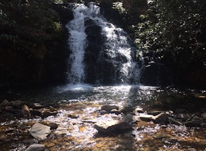
4.62.6 mi / 600 ft gainFrom Hampton, Tennessee, take US-321S for about 3.5 miles. Turn right onto Dennis Cove Road and travel for 4 miles on this steep and very curvy mountain road. The trailhead is where the Appalachian Trail (AT) crosses the road at a small gravel lot on the left. Take the AT north on the trail lea...Read more -
Hampton, Tennessee
Hike and Traverse the Cables to Dennis Cove Falls
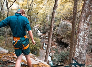
5.03.2 mi / 300 ft gainThe Hike to Dennis Cove Falls includes three water crossings and passes several small waterfalls. Sturdy cables spanning the width of the water crossings provide a fun way of traversing the creek without wading. It is completely possible to wade through the creek while holding onto the cables for...Read more -
Hampton, Tennessee
Appalachian Trail: Dennis Cove to Watauga Lake
8.08 mi / 1955 ft gainAppalachian Trail: Dennis Cove to Watauga Lake is a point-to-point trail that takes you by a waterfall located near Hampton, Tennessee.Read more -
Hampton, Tennessee
Laurel Falls via Appalachian Trail
5.02.43 mi / 449 ft gainLaurel Falls via Appalachian Trail is an out-and-back trail that takes you by a waterfall located near Hampton, Tennessee.Read more -
Hampton, Tennessee
Appalachian Trail: Dennis Cove to US 19E
21.27 mi / 4843 ft gainAppalachian Trail: Dennis Cove to US 19E is a point-to-point trail that takes you through a nice forest located near Roan Mountain, Tennessee.Read more -
Unicoi, Tennessee
Camp at Unaka Mountain Overlook
4.00.1 miUnaka Mountain Overlook is one of the highest locations in the Cherokee National Forest. Easily accessibly by vehicle, the overlook towers over the surrounding mountains, including Beauty Spot Gap, and is an ideal spot to camp overnight. Take Rock Creek Road until you meet the border of North Car...Read more -
Unicoi, Tennessee
Red Fork Falls Trail
3.50.68 mi / 190 ft gainRed Fork Falls Trail is an out-and-back trail that takes you by a waterfall located near Unicoi, Tennessee.Read more

