Clinton, Tennessee
Looking for the best photography in Clinton? We've got you covered with the top trails, trips, hiking, backpacking, camping and more around Clinton. The detailed guides, photos, and reviews are all submitted by the Outbound community.
Top Photography Spots in and near Clinton
-
Jamestown, Tennessee
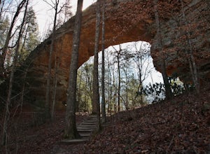
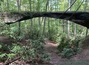
Twin Arches Loop
1.22 mi / 177 ft gainThe trail starts at the parking lot which has some nice bathrooms and a nice small picnic area that is open year-round. From the trailhead, you will follow the signs that will lead you to a short mostly flat, 7-mile hike to the first arch. Once you get to the first arch there is a small area with...Read more -
Sevierville, Tennessee
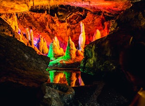
Spelunking in Forbidden Caverns
5.0When exploring all that Tennessee has to offer, it’s hard to ignore the fact it is home to more caves than any other state in America. So when picking one, of more than 10,000, to explore it is hard to go wrong. Forbidden Caverns happens to be one of the most popular spots and is only a few minut...Read more -
35.675929,-83.485764
Roaring Fork Motor Nature Trail
5.05.83 miThis 6 mile drive is a great way to spend a scenic day in the Smokies. The road is open to cars only (no trucks or RVs) and runs one-way. There are no visitors centers after you head out, so be sure to bring everything you need along. The drive begins at the historic Ogle farmstead, which is als...Read more -
Gatlinburg, Tennessee
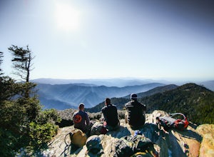
Mount LeConte-Cliff Tops via Rainbow Falls Trail
4.513.37 mi / 3993 ft gainBegin at the Rainbow Falls trail parking lot. This is very popular area especially in the summer. If the parking area at the trail head is full there is additional parking located just past the main lot. From here the Rainbow Falls trail is just under 14 miles to the summit of Mount Leconte. Elev...Read more -
Gatlinburg, Tennessee
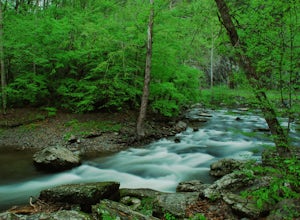
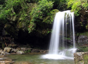
Grotto Falls Trail
5.01.83 mi / 585 ft gainThis is an intermediate hike along Trillium Gap Trail. There are four stream crossings on your way to the falls as you hike through an idyll, often wildflower-sprinkled landscape. Late spring is best for catching blooms. Once at the waterfall, you can walk behind the cascade of water. This is a ...Read more -
Jamestown, Tennessee
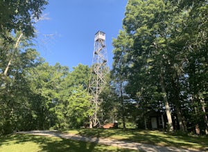
Explore Pickett State Fire Tower
This tower was built by the CCC in the 1930s. The tower is easy to climb and safer than most fire towers. The top of the tower is open so you can get a 360 degree view of the surrounding area. The tower is located within the Pickett State Park and is right on the side of the road and has easy acc...Read more -
Jamestown, Tennessee
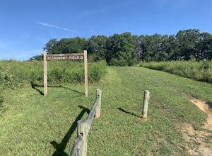
Stargaze at Astronomy Field
This Dark Sky Park is a part of the Pickett State Park. It was established in 2015. It is one of the only IDA registered dark sky parks in the east. I have been all over the United States stargazing and this is still one of the best spots I have been to. The astronomy field offers a free and easi...Read more -
Jamestown, Tennessee
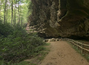
Hike to Indian Rockhouse
0.4 mi / 65 ft gainThis hike is a great, short hike for all ages. It shows the sandstone formation of the area very well and features a large cliff, an overhang, and a small stream at the bottom. The hike is only 0.4 of a mile total and has a small elevation change. It is probably the easiest hike in this area. Th...Read more -
Jamestown, Tennessee
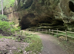
Hazard Cave Loop
5.01.51 mi / 210 ft gainHazard Cave is a gorgeous very large sandstone formation. The hike is located in Pickett State Park which is right next to Big South Fork National Recreation Area. This hike is the shortest option to get to Hazard Cave. If you are looking for a longer hike you can take the entire loop hike to get...Read more -
Jamestown, Tennessee
Natural Bridge Loop
1.05 mi / 148 ft gainThis trail is located in Pickett State Park which is a close neighbor to Big South Fork National Recreation Area. This is one of the many trailheads that connect to the Natural Bridge loop however, this trailhead is the closest to the natural bridge. From the road it is only a few hundred feet wa...Read more -
Grandview, Tennessee
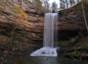
Hike to Piney Falls
5.01.5 mi / 500 ft gainThe gravel road heading to the trailhead is on the rougher side to take it slow. When you get to the trailhead it’s a small gravel pull off right off the road. There are no maps at the trailhead but there are only a few trails to take and they are marked with a blue marker. To get to the upper fa...Read more -
Robbinsville, North Carolina
Hike the Big Fat Gap Trail
12 mi / 3000 ft gainThere are many trailheads leading into the wilderness on either the Tennessee or North Carolina side. My favorite is the Big Fat Gap trail on the North Carolina side at an elevation of 3,060'. To see the best of what this area has to offer take the Hangover Lead South Trail to the 5,180' Hangover...Read more -
Vonore, Tennessee
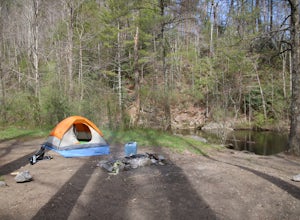
Camp at Citico Creek
5.0There are a few options for getting to Citico Creek, you can either go up the windy gravel road from US 411 or get off of the Cherohala Skyway and go down the mountain past the Indian Boundary campground. The Citico Creek campground has about 5 or 6 spots but is rarely full because it is very sec...Read more -
Fontana Dam, North Carolina
Shuckstack Fire Tower
5.08.84 mi / 2605 ft gainYour Shuckstack adventure starts at the Fontana Dam outside of Bryson City, NC. As the highest dam East of the Rocky Mountains, it's a sight on its own. This will be your last chance to fill up water bottles and use the restroom so take advantage. You can leave on foot from the dam and continue ...Read more -
Pineville, Kentucky
Hike to Honeymoon Falls at Pine Mountain State Resort Park
4.03 mi / 270 ft gainThe trail to Honeymoon Falls is located in Pine Mountain State Resort Park in Pineville, Kentucky. To reach the trail park in the parking lot in front of the park lodge. Walk towards the lodge and you'll see signs pointing you in the direction of the trails. It is located just behind the lodge. ...Read more -
Gatlinburg, Tennessee
Hike the Chimney Tops
4.94.03 mi / 1487 ft gainThe Chimney Tops Trail is one of the most visited trails in the Smokies, which is why I recommend going up just before sunset to beat the crowd! During the summer and fall months, it's common to see a hundred people taking in the views on the same trail, but if you scramble on out after hours, y...Read more

